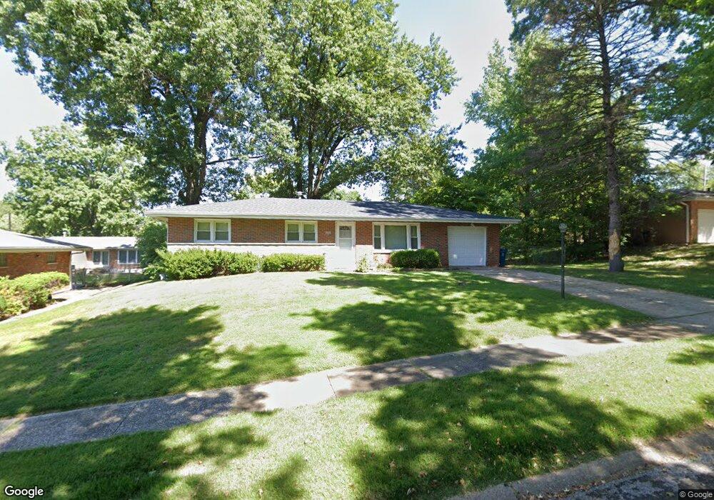
929 Westwold Ave Saint Louis, MO 63135
Estimated Value: $137,962 - $168,000
3
Beds
2
Baths
1,134
Sq Ft
$135/Sq Ft
Est. Value
About This Home
This home is located at 929 Westwold Ave, Saint Louis, MO 63135 and is currently estimated at $153,241, approximately $135 per square foot. 929 Westwold Ave is a home located in St. Louis County with nearby schools including Lee Hamilton Elementary School, Ferguson Middle School, and McCluer High School.
Ownership History
Date
Name
Owned For
Owner Type
Purchase Details
Closed on
Oct 11, 2000
Sold by
Haefner Michael L and Haefner Laura L
Bought by
Johnson Laura Jean
Current Estimated Value
Home Financials for this Owner
Home Financials are based on the most recent Mortgage that was taken out on this home.
Original Mortgage
$79,246
Outstanding Balance
$28,838
Interest Rate
7.89%
Mortgage Type
FHA
Estimated Equity
$124,403
Create a Home Valuation Report for This Property
The Home Valuation Report is an in-depth analysis detailing your home's value as well as a comparison with similar homes in the area
Home Values in the Area
Average Home Value in this Area
Purchase History
| Date | Buyer | Sale Price | Title Company |
|---|---|---|---|
| Johnson Laura Jean | $79,900 | Archway Title Agency Inc | |
| Haefner Michael L | -- | Archway Title Agency Inc |
Source: Public Records
Mortgage History
| Date | Status | Borrower | Loan Amount |
|---|---|---|---|
| Open | Johnson Laura Jean | $79,246 |
Source: Public Records
Tax History Compared to Growth
Tax History
| Year | Tax Paid | Tax Assessment Tax Assessment Total Assessment is a certain percentage of the fair market value that is determined by local assessors to be the total taxable value of land and additions on the property. | Land | Improvement |
|---|---|---|---|---|
| 2025 | $1,759 | $26,560 | $3,250 | $23,310 |
| 2024 | $1,759 | $24,280 | $4,860 | $19,420 |
| 2023 | $1,749 | $24,280 | $4,860 | $19,420 |
| 2022 | $1,708 | $20,670 | $6,480 | $14,190 |
| 2021 | $1,653 | $20,670 | $6,480 | $14,190 |
| 2020 | $1,351 | $15,120 | $2,050 | $13,070 |
| 2019 | $1,325 | $15,120 | $2,050 | $13,070 |
| 2018 | $1,484 | $15,140 | $2,490 | $12,650 |
| 2017 | $1,455 | $15,140 | $2,490 | $12,650 |
| 2016 | $1,447 | $14,820 | $2,490 | $12,330 |
| 2015 | $1,457 | $14,820 | $2,490 | $12,330 |
| 2014 | -- | $13,680 | $3,720 | $9,960 |
Source: Public Records
Map
Nearby Homes
- 925 Dyerdown Ave
- 931 Thatcher Ave
- 818 Robert Ave
- 539 Coppinger Dr
- 514 La Motte Ln
- 610 Superior Dr
- 506 Averill Ave
- 941 N Elizabeth Ave
- 408 Coppinger Dr
- 324 Ames Place
- 410 Argent Ave
- 315 Coppinger Dr
- 310 Ames Place
- 418 Millman Dr
- 339 Wedge Dr
- 6 Sandringham Ln
- 655 Hunters Ridge Dr
- 208 Coppinger Dr
- 1355 Stein Rd
- 643 Hunters Ridge Dr
- 923 Westwold Ave
- 935 Westwold Ave
- 936 Dyerdown Ave
- 930 Dyerdown Ave
- 942 Dyerdown Ave
- 917 Westwold Ave
- 920 Westwold Ave
- 932 Westwold Ave
- 821 Smith Ave
- 924 Dyerdown Ave
- 829 Smith Ave
- 914 Westwold Ave
- 809 Smith Ave
- 919 Smithshire Ave
- 937 Dyerdown Ave
- 909 Westwold Ave
- 925 Smithshire Ave
- 913 Smithshire Ave
- 931 Dyerdown Ave
- 901 Smith Ave