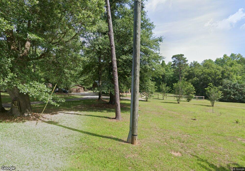
9290 Dawes Cemetery Rd Unit RD Mobile, AL 36695
Dawes NeighborhoodEstimated Value: $380,000 - $453,000
--
Bed
4
Baths
2,654
Sq Ft
$154/Sq Ft
Est. Value
About This Home
This home is located at 9290 Dawes Cemetery Rd Unit RD, Mobile, AL 36695 and is currently estimated at $409,731, approximately $154 per square foot. 9290 Dawes Cemetery Rd Unit RD is a home located in Mobile County with nearby schools including Hutchens Elementary School, Dawes Intermediate School, and Bernice J Causey Middle School.
Ownership History
Date
Name
Owned For
Owner Type
Purchase Details
Closed on
Mar 15, 2021
Sold by
Wilson Garner David and Wilson Corinne
Bought by
Brooks Brian and Brooks Shawnassey
Current Estimated Value
Home Financials for this Owner
Home Financials are based on the most recent Mortgage that was taken out on this home.
Original Mortgage
$322,905
Outstanding Balance
$289,461
Interest Rate
2.7%
Mortgage Type
New Conventional
Estimated Equity
$120,270
Purchase Details
Closed on
Jun 17, 2020
Sold by
Moravec Teresa and Moravec Gregory P
Bought by
Wilson Garner David and Wilson Corinne
Home Financials for this Owner
Home Financials are based on the most recent Mortgage that was taken out on this home.
Original Mortgage
$299,155
Interest Rate
3.2%
Mortgage Type
New Conventional
Purchase Details
Closed on
Mar 3, 2017
Sold by
Sandbar Development Inc
Bought by
Moravec Teresa and Moravec Gregory P
Purchase Details
Closed on
Oct 6, 2016
Sold by
Vincent David P and Vincent Stephanie A
Bought by
Sandbar Developments Inc
Create a Home Valuation Report for This Property
The Home Valuation Report is an in-depth analysis detailing your home's value as well as a comparison with similar homes in the area
Home Values in the Area
Average Home Value in this Area
Purchase History
| Date | Buyer | Sale Price | Title Company |
|---|---|---|---|
| Brooks Brian | $339,900 | Slt | |
| Wilson Garner David | $314,900 | Slt | |
| Moravec Teresa | $276,000 | None Available | |
| Sandbar Developments Inc | $158,000 | Red Mountain Title Llc |
Source: Public Records
Mortgage History
| Date | Status | Borrower | Loan Amount |
|---|---|---|---|
| Open | Brooks Brian | $322,905 | |
| Previous Owner | Wilson Garner David | $299,155 |
Source: Public Records
Tax History Compared to Growth
Tax History
| Year | Tax Paid | Tax Assessment Tax Assessment Total Assessment is a certain percentage of the fair market value that is determined by local assessors to be the total taxable value of land and additions on the property. | Land | Improvement |
|---|---|---|---|---|
| 2024 | $1,763 | $35,220 | $4,970 | $30,250 |
| 2023 | $1,762 | $33,050 | $4,540 | $28,510 |
| 2022 | $1,551 | $33,350 | $4,540 | $28,810 |
| 2021 | $1,457 | $31,410 | $3,100 | $28,310 |
| 2020 | $2,567 | $26,460 | $8,180 | $18,280 |
| 2019 | $2,555 | $26,340 | $8,180 | $18,160 |
| 2018 | $2,397 | $49,420 | $0 | $0 |
| 2017 | $2,406 | $49,600 | $0 | $0 |
| 2016 | $2,423 | $49,960 | $0 | $0 |
| 2013 | $1,039 | $22,640 | $0 | $0 |
Source: Public Records
Map
Nearby Homes
- 9206 Champion Hills Cove
- 9266 Champion Cir S
- 3955 Champion Cir W
- 9497 Labrador Run S
- 4026 Mcfarland Rd
- 9451 Sir Brutus Run
- 3658 Dawes Rd
- 3582 Magnolia Downs E
- 0 Mcfarland Rd Unit 380899
- 0 Mcfarland Rd Unit 7600050
- 9358 Mcleod Rd
- 10769 Mcleod Rd
- 9500 Scott Dairy Loop Rd S
- 3345 Hartsfield Way E
- 3560 Arlington Oaks Dr
- 3315 Hartsfield Way E
- 9798 Potomac Ridge Dr
- 3330 Woodward Dr
- 8751 Winford Way
- 9669 Spring Meadow Dr S
- 9290 Dawes Cemetery Rd
- 9272 Champion Cir N
- 9258 Champion Cir N
- 9286 Champion Cir N
- 9244 Champion Cir N
- 9300 Champion Cir N
- 9230 Champion Cir N
- 9314 Champion Cir N
- 3810 Mcfarland Rd
- 3790 Mcfarland Rd
- 9267 Champion Cir N
- 9281 Champion Cir N
- 9328 Champion Cir N
- 9253 Champion Cir N
- 3800 Mcfarland Rd
- 9295 Champion Cir N
- 9249 Champion Cir N
- 9309 Champion Cir N
- 9340 Champion Cir N
- 9235 Champion Cir N
