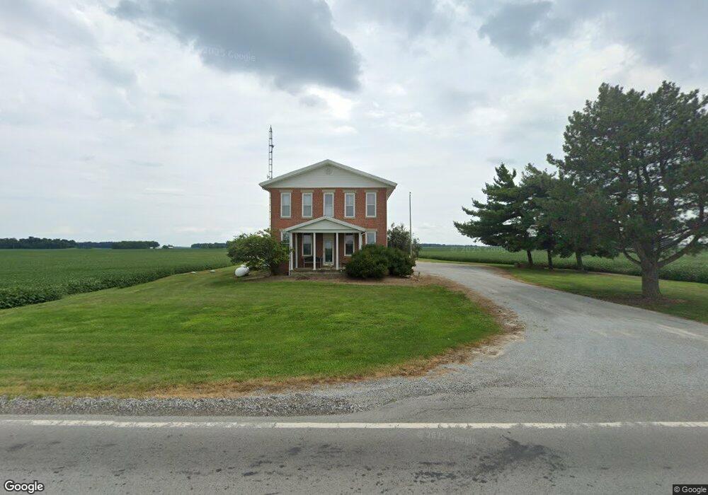
9290 State Route 53 Kenton, OH 43326
Estimated Value: $327,000 - $810,623
5
Beds
2
Baths
3,000
Sq Ft
$190/Sq Ft
Est. Value
About This Home
This home is located at 9290 State Route 53, Kenton, OH 43326 and is currently estimated at $568,812, approximately $189 per square foot. 9290 State Route 53 is a home located in Hardin County with nearby schools including Kenton Elementary School, Kenton Middle School, and Kenton High School.
Ownership History
Date
Name
Owned For
Owner Type
Purchase Details
Closed on
May 10, 2024
Sold by
Bloom William Jeffrey and Bloom Michelle Louise
Bought by
William J Bloom And Michelle L Bloom Family R and Bloom
Current Estimated Value
Purchase Details
Closed on
Dec 9, 2005
Sold by
Bloom William J
Bought by
Bloom William Jeffrey and Bloom Michelle Louise
Purchase Details
Closed on
Feb 13, 1990
Create a Home Valuation Report for This Property
The Home Valuation Report is an in-depth analysis detailing your home's value as well as a comparison with similar homes in the area
Home Values in the Area
Average Home Value in this Area
Purchase History
| Date | Buyer | Sale Price | Title Company |
|---|---|---|---|
| William J Bloom And Michelle L Bloom Family R | -- | None Listed On Document | |
| Bloom William Jeffrey | -- | None Available | |
| -- | $75,000 | -- |
Source: Public Records
Tax History Compared to Growth
Tax History
| Year | Tax Paid | Tax Assessment Tax Assessment Total Assessment is a certain percentage of the fair market value that is determined by local assessors to be the total taxable value of land and additions on the property. | Land | Improvement |
|---|---|---|---|---|
| 2024 | $6,919 | $157,310 | $71,310 | $86,000 |
| 2023 | $6,919 | $157,310 | $71,310 | $86,000 |
| 2022 | $4,823 | $101,640 | $40,100 | $61,540 |
| 2021 | $4,841 | $101,640 | $40,100 | $61,540 |
| 2020 | $4,219 | $101,640 | $40,100 | $61,540 |
| 2019 | $4,600 | $112,800 | $61,790 | $51,010 |
| 2018 | $4,781 | $112,800 | $61,790 | $51,010 |
| 2017 | $4,708 | $112,800 | $61,790 | $51,010 |
| 2016 | $4,698 | $117,760 | $77,260 | $40,500 |
| 2015 | $4,184 | $117,760 | $77,260 | $40,500 |
| 2014 | $4,762 | $119,970 | $79,470 | $40,500 |
| 2013 | $3,448 | $79,630 | $37,430 | $42,200 |
Source: Public Records
Map
Nearby Homes
- 9960 State Route 53
- 777 Maydoll Dr
- 460 Oriental St
- 602 N Wayne St
- 125 Hester St
- 416 N Cherry St
- 406 Terry St
- 700 N Ida St
- 324 E North St
- 328 N Detroit St
- 79 Broadway St
- 11803 Hillcrest Dr
- 233 N Main St
- 11927 Hillcrest Dr
- 530 E Franklin St
- 506 E Franklin St
- 368 N Ida St
- 115 Scioto St
- 121 S High St
- 215 Henry St
- 9235 State Route 53
- 9557 State Route 53
- 15299 Township Road 100
- 15455 Township Road 100
- 9249 County Road 167
- 9305 County Road 175
- 9505 County Road 175
- 9800 State Route 53
- 8959 County Road 167
- 9815 County Road 167
- 9691 County Road 175
- 16006 Township Road 100
- 15481 Township Road 110
- 15749 Township Road 110
- 8622 State Route 53
- 15009 Township Road 110
- 15684 Tr 110
- 9056 County Road 175
- 9960 Sr
- 15726 Tr 110