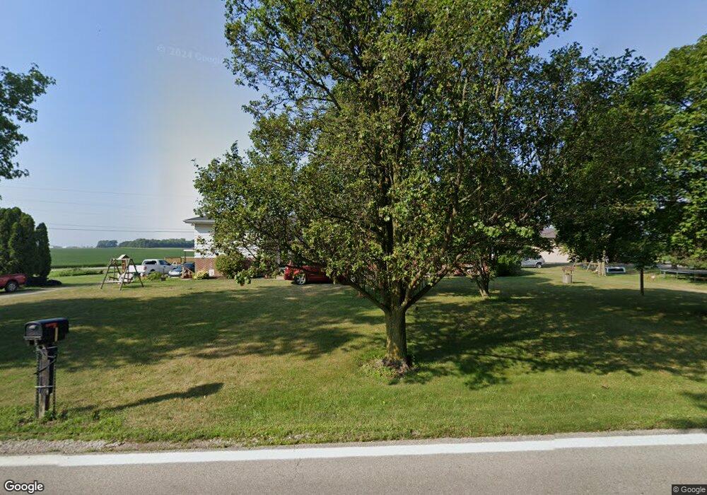
9291 State Route 762 Orient, OH 43146
Estimated Value: $316,000 - $379,000
About This Home
This home is located at 9291 State Route 762, Orient, OH 43146 and is currently estimated at $344,347, approximately $161 per square foot. 9291 State Route 762 is a home located in Pickaway County.
Ownership History
We collect this data history from publicly available records. To have your information removed, we recommend requesting removal directly through your county’s website.
Purchase Details
Home Financials for this Owner
Home Financials are based on the most recent Mortgage that was taken out on this home.Purchase Details
Purchase History
We collect this data history from publicly available records. To have your information removed, we recommend requesting removal directly through your county’s website.
| Date | Buyer | Sale Price | Title Company |
|---|---|---|---|
| $140,900 | Transcounty Title | ||
| $85,000 | -- |
Mortgage History
We collect this data history from publicly available records. To have your information removed, we recommend requesting removal directly through your county’s website.
| Date | Status | Borrower | Loan Amount |
|---|---|---|---|
| Open | $137,259 |
Tax History
We collect this data history from publicly available records. To have your information removed, we recommend requesting removal directly through your county’s website.
| Year | Tax Paid | Tax Assessment Tax Assessment Total Assessment is a certain percentage of the fair market value that is determined by local assessors to be the total taxable value of land and additions on the property. | Land | Improvement |
|---|---|---|---|---|
| 2025 | $4,861 | $94,180 | $22,290 | $71,890 |
| 2024 | $4,861 | $94,180 | $22,290 | $71,890 |
| 2023 | $2,038 | $94,180 | $22,290 | $71,890 |
| 2022 | $2,729 | $66,640 | $14,860 | $51,780 |
| 2021 | $2,738 | $66,640 | $14,860 | $51,780 |
| 2020 | $2,738 | $66,640 | $14,860 | $51,780 |
| 2019 | $2,171 | $54,780 | $14,140 | $40,640 |
| 2018 | $2,136 | $54,780 | $14,140 | $40,640 |
| 2017 | $2,879 | $54,780 | $14,140 | $40,640 |
| 2016 | $2,024 | $50,470 | $12,330 | $38,140 |
| 2015 | $2,025 | $50,470 | $12,330 | $38,140 |
| 2014 | $2,027 | $50,470 | $12,330 | $38,140 |
| 2013 | $2,108 | $50,470 | $12,330 | $38,140 |
Map
- 7611 Young Rd
- 0 Scioto-Darby Rd Unit 226002982
- 0 Matville Rd Unit 226008748
- 0 Matville Rd Unit 225040477
- 0 Matville Rd Unit 226008749
- 0 Matville Rd Unit 226008746
- 0 Matville Rd Unit 225030661
- 204 Honey Locust Ln
- 198 Rosewood Loop SW
- 191 Red Oak Ct
- 11200 Coontz Rd
- 187 Red Oak Ct
- 159 Chestnut Commons Dr
- 161 Chestnut Estates Dr
- 9661 Welch Rd
- 5361 Mill St
- 155 Walnut Creek Dr
- 289 Arledge Dr
- 24 Erin Hills Rd
- 290 Olympic Loop
- 9311 State Route 762
- 9381 State Route 762
- 10521 Thrailkill Rd
- 10530 Thrailkill Rd
- 10565 Thrailkill Rd
- 9124 State Route 762
- 9403 State Route 762
- 10560 Thrailkill Rd
- 9425 State Route 762
- 9127 State Route 762
- 10621 Thrailkill Rd
- 8952 State Route 762
- 9419 State Route 762
- 10643 Thrailkill Rd
- 10675 Thrailkill Rd
- 8901 State Route 762
- 10705 Thrailkill Rd
- 10725 Thrailkill Rd
- 9641 State Route 762
- 10755 Thrailkill Rd
Ask me questions while you tour the home.