9292 Lake Ave Reading, MI 49274
Estimated Value: $199,111 - $228,000
2
Beds
2
Baths
816
Sq Ft
$262/Sq Ft
Est. Value
About This Home
This home is located at 9292 Lake Ave, Reading, MI 49274 and is currently estimated at $213,528, approximately $261 per square foot. 9292 Lake Ave is a home located in Hillsdale County with nearby schools including Reynolds Elementary School and Reading High School.
Ownership History
Date
Name
Owned For
Owner Type
Purchase Details
Closed on
Jun 23, 2011
Sold by
Rosendale Jerry L and Rosendale Nancy K
Bought by
Rosendale Jerry L and Rosendale Nancy K
Current Estimated Value
Purchase Details
Closed on
Jun 10, 2005
Sold by
Smith Rodney J and Smith Rosalie E
Bought by
Rosendale Jerry L and Rosendale Nancy K
Purchase Details
Closed on
May 16, 2000
Bought by
Smith Rodney and Smith Rosalie
Purchase Details
Closed on
Mar 12, 1997
Bought by
Smith, Rodney & Rosalie Trust
Purchase Details
Closed on
Jun 15, 1991
Bought by
Smith
Purchase Details
Closed on
Aug 15, 1989
Bought by
Corney
Create a Home Valuation Report for This Property
The Home Valuation Report is an in-depth analysis detailing your home's value as well as a comparison with similar homes in the area
Purchase History
| Date | Buyer | Sale Price | Title Company |
|---|---|---|---|
| Rosendale Jerry L | -- | None Available | |
| Rosendale Jerry L | $173,450 | -- | |
| Smith Rodney | -- | -- | |
| Smith, Rodney & Rosalie Trust | -- | -- | |
| Smith | $76,000 | -- | |
| Corney | -- | -- |
Source: Public Records
Tax History
| Year | Tax Paid | Tax Assessment Tax Assessment Total Assessment is a certain percentage of the fair market value that is determined by local assessors to be the total taxable value of land and additions on the property. | Land | Improvement |
|---|---|---|---|---|
| 2025 | $691 | $89,000 | $0 | $0 |
| 2024 | $7 | $88,500 | $0 | $0 |
| 2023 | $642 | $85,300 | $0 | $0 |
| 2022 | $2,427 | $72,600 | $0 | $0 |
| 2021 | $2,357 | $68,900 | $0 | $0 |
| 2020 | $2,349 | $68,100 | $0 | $0 |
| 2019 | $2,285 | $58,400 | $0 | $0 |
| 2018 | $2,197 | $54,900 | $0 | $0 |
| 2017 | $2,134 | $54,400 | $0 | $0 |
| 2016 | $2,116 | $54,200 | $0 | $0 |
| 2015 | $541 | $54,200 | $0 | $0 |
| 2013 | $524 | $49,390 | $0 | $0 |
| 2012 | $511 | $48,830 | $0 | $0 |
Source: Public Records
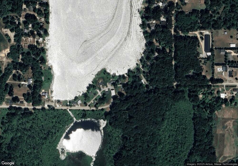
Map
Nearby Homes
- 3870 Rus Dic Dr
- 4111 Blair Rd
- V L Long Lake Rd
- V/L Long Lake Rd
- 490 Kelley Rd
- 2408 Spruce Dr
- 0 W Silver St Unit 25044322
- 123 N Main St
- 5160 Quackenbush Rd
- 309 S Main St
- 203 E Michigan St
- 108 Lynn St
- 7841 Topinabee Dr
- 9949 Indian Trail
- V L Long Lake Rd 2
- 9180 Arkansaw Rd
- 5411 Lilac Rd
- 2520 S Sand Lake Rd
- 4427 Carpenter Rd
- 211 S Ray Quincy Rd
- 9278 Lake Ave
- 9280 Lake Ave
- 9308 Lake Ave
- 9298 Humphrey Rd
- 9216 Humphrey Rd
- 9328 Lake Ave
- 9324 Lake Ave
- 9338 Lake Ave
- 9200 Humphrey Rd
- 9334 Lake Ave
- 9291 Humphrey Rd
- 9358 Lake Ave
- 9378 Lake Ave
- 4716 Berlin Dr
- 4662 Berlin Dr
- 4650 Berlin Dr
- 9398 Humphrey Rd
- 9388 Humphrey Rd
- 4638 Berlin Dr
- 9404 Humphrey Rd