92974 Broadway Rd Unit 152 Coos Bay, OR 97420
Estimated Value: $521,953 - $577,000
1
Bed
1
Bath
800
Sq Ft
$687/Sq Ft
Est. Value
About This Home
This home is located at 92974 Broadway Rd Unit 152, Coos Bay, OR 97420 and is currently estimated at $549,477, approximately $686 per square foot. 92974 Broadway Rd Unit 152 is a home located in Coos County with nearby schools including Eastside School, Millicoma School, and Marshfield Senior High School.
Ownership History
Date
Name
Owned For
Owner Type
Purchase Details
Closed on
Aug 9, 2017
Sold by
Menzenberg Ramona M
Bought by
Haller Clinton and Haller Sylvia
Current Estimated Value
Home Financials for this Owner
Home Financials are based on the most recent Mortgage that was taken out on this home.
Original Mortgage
$400,000
Outstanding Balance
$333,046
Interest Rate
3.88%
Mortgage Type
VA
Estimated Equity
$216,431
Purchase Details
Closed on
Aug 15, 2011
Sold by
Menzenberg Tom and Menzenberg Ramona
Bought by
Menzenberg Thomas R and Menzenberg Ramona M
Home Financials for this Owner
Home Financials are based on the most recent Mortgage that was taken out on this home.
Original Mortgage
$88,000
Interest Rate
4.53%
Mortgage Type
New Conventional
Create a Home Valuation Report for This Property
The Home Valuation Report is an in-depth analysis detailing your home's value as well as a comparison with similar homes in the area
Home Values in the Area
Average Home Value in this Area
Purchase History
| Date | Buyer | Sale Price | Title Company |
|---|---|---|---|
| Haller Clinton | $400,000 | Ticor Title Company | |
| Menzenberg Thomas R | -- | Ticor Title Insurance |
Source: Public Records
Mortgage History
| Date | Status | Borrower | Loan Amount |
|---|---|---|---|
| Open | Haller Clinton | $400,000 | |
| Previous Owner | Menzenberg Thomas R | $88,000 |
Source: Public Records
Tax History Compared to Growth
Tax History
| Year | Tax Paid | Tax Assessment Tax Assessment Total Assessment is a certain percentage of the fair market value that is determined by local assessors to be the total taxable value of land and additions on the property. | Land | Improvement |
|---|---|---|---|---|
| 2024 | $4,085 | $310,670 | -- | -- |
| 2023 | $3,963 | $301,630 | $0 | $0 |
| 2022 | $3,909 | $292,850 | $0 | $0 |
| 2021 | $3,811 | $284,330 | $0 | $0 |
| 2020 | $3,710 | $284,330 | $0 | $0 |
| 2019 | $3,559 | $268,010 | $0 | $0 |
| 2018 | $3,825 | $260,210 | $0 | $0 |
| 2017 | $3,320 | $252,640 | $0 | $0 |
| 2016 | $3,147 | $245,290 | $0 | $0 |
| 2015 | $2,984 | $235,070 | $0 | $0 |
| 2014 | $2,984 | $238,150 | $0 | $0 |
Source: Public Records
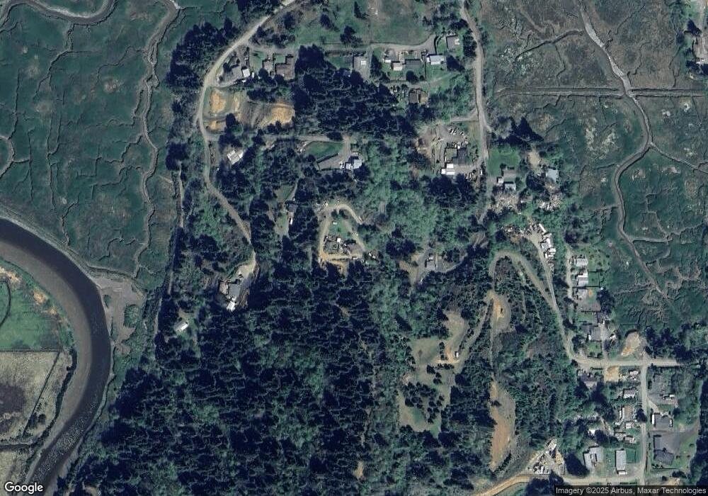
Map
Nearby Homes
- 93195 Coal Bank Ln
- 0 Miriam Unit 740433342
- 0 Graham St Unit 546213972
- 63606 Andrews Rd
- 0 Andrews Rd Unit 1 633770545
- 0 Andrews Rd
- 766 Southwest Blvd
- 1123 Oregon Ave
- 0 Flanagan Rd
- 1138 Oregon Ave
- 63232 Flanasgan Rd Unit LotWP001
- 63533 Flanagan Rd
- 63642 Flanagan Rd
- 1169 Washington Ave
- 1194 Oregon Ave
- 1032 S 4th St
- 1050 S 8th St
- 1351 Dakota St
- 1348 Dakota Ave
- 0 Johnson Ave
- 92974 Broadway Rd
- 93189 Coal Bank Ln
- 92926 Broadway Rd
- 93188 Coal Bank Ln
- 0 Coal Bank Unit 14537435
- 93191 Coal Bank Ln
- 92962 Broadway Rd
- 93346 N Park Ln
- 93350 N Park Ln
- 92959 Broadway Rd
- 93222 Coal Bank Ln
- 0 Miriam Unit 24333801
- 0 Miriam Unit 23401201
- 0 Miriam Unit 23248563
- 93014 Vista Del Rio Dr
- 93016 Vista Del Rio Dr
- 93258 Coal Bank Ln
- 93221 Coal Bank Ln
- 0 Baines St Unit 802 22061253
- 93256 Coal Bank Ln