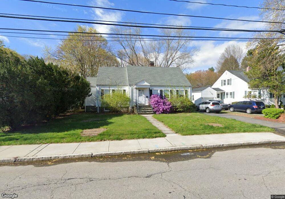
93 Arthur St Framingham, MA 01702
Estimated Value: $588,000 - $701,000
4
Beds
3
Baths
2,201
Sq Ft
$287/Sq Ft
Est. Value
About This Home
This home is located at 93 Arthur St, Framingham, MA 01702 and is currently estimated at $631,307, approximately $286 per square foot. 93 Arthur St is a home located in Middlesex County with nearby schools including Framingham High School, Happy Hollow School, and Marian High School.
Ownership History
Date
Name
Owned For
Owner Type
Purchase Details
Closed on
Oct 28, 1998
Sold by
Porcello Angela M
Bought by
Delorie Eleanor J and Reitter Karen
Current Estimated Value
Home Financials for this Owner
Home Financials are based on the most recent Mortgage that was taken out on this home.
Original Mortgage
$89,000
Interest Rate
6.68%
Mortgage Type
Purchase Money Mortgage
Create a Home Valuation Report for This Property
The Home Valuation Report is an in-depth analysis detailing your home's value as well as a comparison with similar homes in the area
Home Values in the Area
Average Home Value in this Area
Purchase History
| Date | Buyer | Sale Price | Title Company |
|---|---|---|---|
| Delorie Eleanor J | $89,000 | -- |
Source: Public Records
Mortgage History
| Date | Status | Borrower | Loan Amount |
|---|---|---|---|
| Open | Delorie Eleanor J | $77,800 | |
| Closed | Delorie Eleanor J | $91,000 | |
| Closed | Delorie Eleanor J | $89,000 | |
| Closed | Delorie Eleanor J | $89,000 |
Source: Public Records
Tax History Compared to Growth
Tax History
| Year | Tax Paid | Tax Assessment Tax Assessment Total Assessment is a certain percentage of the fair market value that is determined by local assessors to be the total taxable value of land and additions on the property. | Land | Improvement |
|---|---|---|---|---|
| 2025 | $6,290 | $526,800 | $220,000 | $306,800 |
| 2024 | $6,377 | $511,800 | $197,200 | $314,600 |
| 2023 | $6,014 | $459,400 | $176,700 | $282,700 |
| 2022 | $5,734 | $417,300 | $160,400 | $256,900 |
| 2021 | $5,522 | $393,000 | $154,300 | $238,700 |
| 2020 | $5,517 | $368,300 | $134,200 | $234,100 |
| 2019 | $5,346 | $347,600 | $130,300 | $217,300 |
| 2018 | $5,167 | $316,600 | $123,300 | $193,300 |
| 2017 | $5,092 | $304,700 | $119,900 | $184,800 |
| 2016 | $4,799 | $276,100 | $116,000 | $160,100 |
| 2015 | $4,836 | $271,400 | $116,000 | $155,400 |
Source: Public Records
Map
Nearby Homes
- 88 Pond St Unit 88
- 159 Bishop St
- 34 Burdette Ave
- 21 Wilson Dr
- 155 Bishop Dr
- 126 Bishop Dr
- 6 Clarks Hill Ln Unit 6
- 26 Willis St Unit 33
- 369 Grant St
- 369 Grant St Unit 1
- 369 Grant St Unit 2
- 369 Grant St Unit 3
- 143 Howe St
- 47 Clinton St
- 11 Robertson Rd
- 18 Beaver Ct
- 126 Beaver St Unit 121
- 126 Beaver St Unit 3
- 287 W Central St
- 128 Warren Rd
- 95 Arthur St
- 91 Arthur St
- 87 Arthur St
- 103 Arthur St
- 106 Mansfield St
- 106 Mansfield St Unit 1
- 96 Mansfield St
- 104 Mansfield St
- 104 Mansfield St Unit 1
- 104 Mansfield St Unit 104
- 94 Mansfield St
- 94 Mansfield St
- 83 Arthur St
- 110 Mansfield St
- 88 Mansfield St
- 88 Mansfield St Unit L
- 92 Mansfield St
- 194 Bishop St
- 200 Bishop St
- 90 Mansfield St