93 Brookdale Cir Shrewsbury, MA 01545
Estimated Value: $537,523 - $559,000
3
Beds
3
Baths
1,800
Sq Ft
$305/Sq Ft
Est. Value
About This Home
This home is located at 93 Brookdale Cir, Shrewsbury, MA 01545 and is currently estimated at $549,631, approximately $305 per square foot. 93 Brookdale Cir is a home located in Worcester County with nearby schools including Floral Street School, Sherwood Middle School, and Oak Middle School.
Ownership History
Date
Name
Owned For
Owner Type
Purchase Details
Closed on
May 23, 1997
Sold by
Hammer Linda A
Bought by
Miller Kathleen M
Current Estimated Value
Home Financials for this Owner
Home Financials are based on the most recent Mortgage that was taken out on this home.
Original Mortgage
$105,600
Outstanding Balance
$14,564
Interest Rate
8.08%
Mortgage Type
Purchase Money Mortgage
Estimated Equity
$535,067
Purchase Details
Closed on
Jun 12, 1992
Sold by
Infante Donato A
Bought by
Hammer Linda A
Home Financials for this Owner
Home Financials are based on the most recent Mortgage that was taken out on this home.
Original Mortgage
$55,000
Interest Rate
8.79%
Mortgage Type
Purchase Money Mortgage
Create a Home Valuation Report for This Property
The Home Valuation Report is an in-depth analysis detailing your home's value as well as a comparison with similar homes in the area
Home Values in the Area
Average Home Value in this Area
Purchase History
| Date | Buyer | Sale Price | Title Company |
|---|---|---|---|
| Miller Kathleen M | $132,000 | -- | |
| Hammer Linda A | $119,500 | -- |
Source: Public Records
Mortgage History
| Date | Status | Borrower | Loan Amount |
|---|---|---|---|
| Open | Hammer Linda A | $105,600 | |
| Previous Owner | Hammer Linda A | $55,000 |
Source: Public Records
Tax History Compared to Growth
Tax History
| Year | Tax Paid | Tax Assessment Tax Assessment Total Assessment is a certain percentage of the fair market value that is determined by local assessors to be the total taxable value of land and additions on the property. | Land | Improvement |
|---|---|---|---|---|
| 2025 | $53 | $436,400 | $0 | $436,400 |
| 2024 | $5,112 | $412,900 | $0 | $412,900 |
| 2023 | $4,849 | $369,600 | $0 | $369,600 |
| 2022 | $4,734 | $335,500 | $0 | $335,500 |
| 2021 | $3,946 | $299,200 | $0 | $299,200 |
| 2020 | $3,835 | $307,500 | $0 | $307,500 |
| 2019 | $3,957 | $314,800 | $0 | $314,800 |
| 2018 | $3,369 | $266,100 | $0 | $266,100 |
| 2017 | $3,215 | $250,600 | $0 | $250,600 |
| 2016 | $3,166 | $243,500 | $0 | $243,500 |
| 2015 | $3,101 | $234,900 | $0 | $234,900 |
Source: Public Records
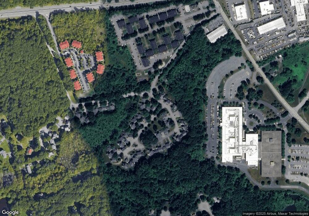
Map
Nearby Homes
- 3 Brookdale Cir
- Lot 3 Cherry St
- Lot 2 Cherry St
- 28 Cherry St
- 7 Green St Unit 310
- 7 Green St Unit 101
- 7 Green St Unit 213
- 7 Green St Unit 103
- 7 Green St Unit 109
- 7 Green St Unit 206
- 7 Green St Unit 107
- 7 Green St Unit 202
- 7 Green St Unit 104
- 7 Green St Unit 110
- 4 Horseneck Rd
- 24 Harrington Farms Way Unit 24
- 60 Harrington Farms Way Unit 60
- 85 Commons Dr Unit 210
- 65 Commons Dr Unit 502
- 65 Commons Dr Unit 410
- 95 Brookdale Cir
- 99 Brookdale Cir
- 97 Brookdale Cir
- 103 Brookdale Cir
- 101 Brookdale Cir
- 103 Brookdale Cir Unit 103
- 12 Brookdale Cir
- 10 Brookdale Cir
- 10 Brookdale Cir Unit 10,20
- 1 Brookdale Cir
- 89 Brookdale Cir
- 89 Brookdale Cir Unit 89
- 7 Brookdale Cir
- 91 Brookdale Cir
- 5 Brookdale Cir
- 11 Brookdale Cir
- 9 Brookdale Cir
- 16 Brookdale Cir
- 14 Brookdale Cir
- 87 Brookdale Cir