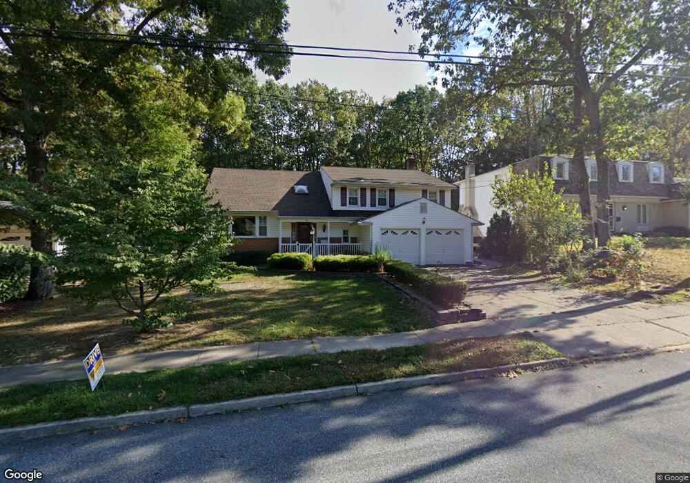
93 Bryant Rd Blackwood, NJ 08012
Washington Township NeighborhoodEstimated Value: $483,282 - $556,000
4
Beds
3
Baths
2,544
Sq Ft
$203/Sq Ft
Est. Value
About This Home
This home is located at 93 Bryant Rd, Blackwood, NJ 08012 and is currently estimated at $517,571, approximately $203 per square foot. 93 Bryant Rd is a home located in Gloucester County with nearby schools including Washington Township High School, Bells Elementary School, and Chestnut Ridge Midle School.
Ownership History
Date
Name
Owned For
Owner Type
Purchase Details
Closed on
Oct 31, 2008
Sold by
Tolentino Ernesto
Bought by
Mikstas Michael N and Mikstas Ryann
Current Estimated Value
Home Financials for this Owner
Home Financials are based on the most recent Mortgage that was taken out on this home.
Original Mortgage
$188,000
Outstanding Balance
$123,102
Interest Rate
6.03%
Mortgage Type
Purchase Money Mortgage
Estimated Equity
$394,469
Purchase Details
Closed on
Nov 2, 2001
Sold by
Tolentino Visitacion M
Bought by
Tolentino Ernesto and Tolentino Visitacion M
Create a Home Valuation Report for This Property
The Home Valuation Report is an in-depth analysis detailing your home's value as well as a comparison with similar homes in the area
Home Values in the Area
Average Home Value in this Area
Purchase History
| Date | Buyer | Sale Price | Title Company |
|---|---|---|---|
| Mikstas Michael N | $235,000 | Surety Title Corporation | |
| Tolentino Ernesto | -- | -- |
Source: Public Records
Mortgage History
| Date | Status | Borrower | Loan Amount |
|---|---|---|---|
| Open | Mikstas Michael N | $188,000 |
Source: Public Records
Tax History Compared to Growth
Tax History
| Year | Tax Paid | Tax Assessment Tax Assessment Total Assessment is a certain percentage of the fair market value that is determined by local assessors to be the total taxable value of land and additions on the property. | Land | Improvement |
|---|---|---|---|---|
| 2025 | $9,950 | $269,000 | $65,100 | $203,900 |
| 2024 | $9,671 | $269,000 | $65,100 | $203,900 |
| 2023 | $9,671 | $269,000 | $65,100 | $203,900 |
| 2022 | $8,706 | $250,400 | $65,100 | $185,300 |
| 2021 | $6,415 | $250,400 | $65,100 | $185,300 |
| 2020 | $8,466 | $250,400 | $65,100 | $185,300 |
| 2019 | $7,906 | $216,900 | $40,800 | $176,100 |
| 2018 | $7,817 | $216,900 | $40,800 | $176,100 |
| 2017 | $7,719 | $216,900 | $40,800 | $176,100 |
| 2016 | $7,674 | $216,900 | $40,800 | $176,100 |
| 2015 | $7,565 | $216,900 | $40,800 | $176,100 |
| 2014 | $7,327 | $216,900 | $40,800 | $176,100 |
Source: Public Records
Map
Nearby Homes
- 12 Nottingham Way
- 130 Hurffville Rd
- 213 Hurffville Rd
- 26 Sheffield Ln
- 9 Avon Ct
- 102 Forrest Dr
- 12 Palmer Ct
- 110 Hurffville Rd
- 325 Wilson Rd
- 27 Upton Way
- 445 Hurffville Grenloch Rd
- 130 Greentree Rd
- 22 Woodbrook Rd
- 125 Trent Rd
- 5 Trakenner Walk
- 30 Dogwood Ln
- 55 Berkshire Dr
- 78 Abbington Ln
- 1 Bently Dr
- 315 Woodbury Turnersville Rd