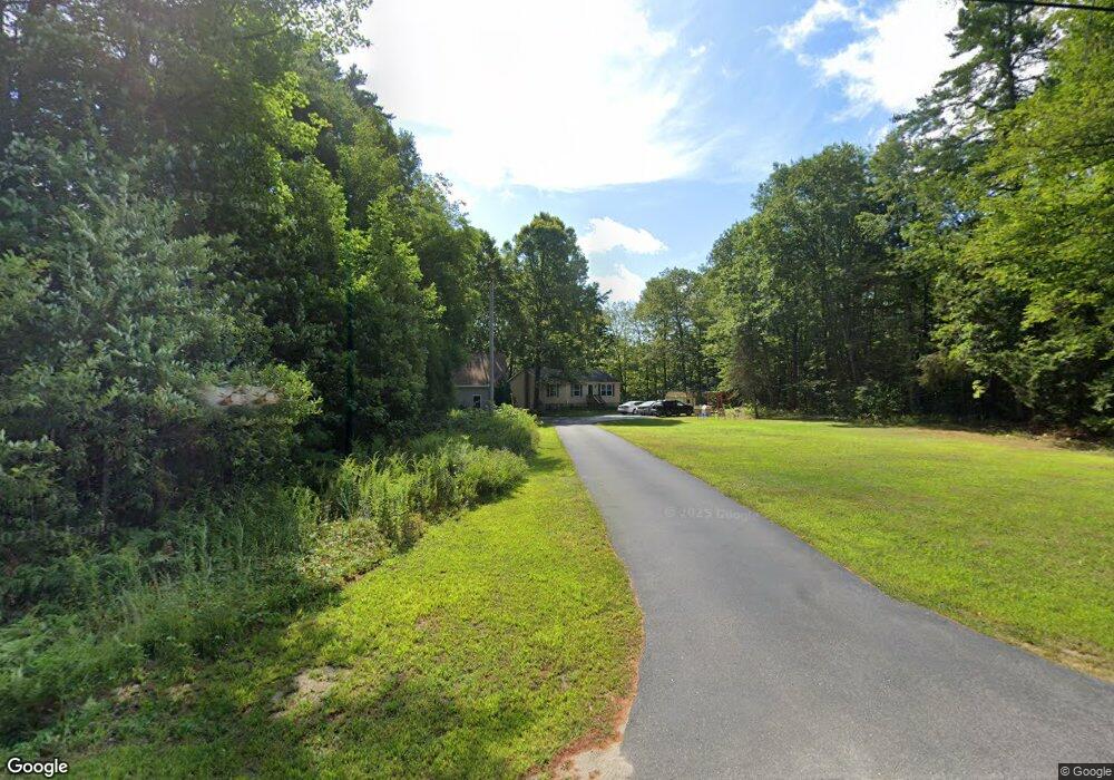
93 Burnham Rd Limerick, ME 04048
Estimated Value: $312,463 - $351,000
Studio
--
Bath
1,040
Sq Ft
$320/Sq Ft
Est. Value
About This Home
This home is located at 93 Burnham Rd, Limerick, ME 04048 and is currently estimated at $333,116, approximately $320 per square foot. 93 Burnham Rd is a home located in York County with nearby schools including Massabesic High School.
Ownership History
Date
Name
Owned For
Owner Type
Purchase Details
Closed on
Dec 2, 2009
Sold by
Gilpatrick Phyllis E
Bought by
Tennant Stephanie R and Tennant Anthony J
Current Estimated Value
Home Financials for this Owner
Home Financials are based on the most recent Mortgage that was taken out on this home.
Original Mortgage
$90,400
Outstanding Balance
$45,989
Interest Rate
5.01%
Mortgage Type
Commercial
Estimated Equity
$287,127
Create a Home Valuation Report for This Property
The Home Valuation Report is an in-depth analysis detailing your home's value as well as a comparison with similar homes in the area
Home Values in the Area
Average Home Value in this Area
Purchase History
| Date | Buyer | Sale Price | Title Company |
|---|---|---|---|
| Tennant Stephanie R | -- | -- |
Source: Public Records
Mortgage History
| Date | Status | Borrower | Loan Amount |
|---|---|---|---|
| Open | Tennant Stephanie R | $90,400 |
Source: Public Records
Tax History
| Year | Tax Paid | Tax Assessment Tax Assessment Total Assessment is a certain percentage of the fair market value that is determined by local assessors to be the total taxable value of land and additions on the property. | Land | Improvement |
|---|---|---|---|---|
| 2025 | $2,785 | $293,168 | $88,300 | $204,868 |
| 2024 | $2,785 | $293,168 | $88,300 | $204,868 |
| 2023 | $2,854 | $187,783 | $43,750 | $144,033 |
| 2022 | $2,667 | $187,782 | $43,750 | $144,032 |
| 2021 | $2,494 | $150,226 | $35,000 | $115,226 |
| 2020 | $2,464 | $150,226 | $35,000 | $115,226 |
| 2019 | $2,366 | $150,226 | $35,000 | $115,226 |
| 2018 | $2,426 | $150,226 | $35,000 | $115,226 |
| 2017 | $2,366 | $150,226 | $35,000 | $115,226 |
| 2016 | $2,261 | $150,226 | $35,000 | $115,226 |
| 2015 | $2,074 | $142,033 | $35,000 | $107,033 |
| 2014 | $1,925 | $136,074 | $35,000 | $101,074 |
Source: Public Records
Map
Nearby Homes
- 4 Deer Crossing Rd
- LOT# 8 Business Park Rd
- Lot# 11 Business Park Rd
- 0 Quarry Rd
- 33 Maple St
- 33 Arrowhead Ln
- 5 Wescott St
- 240 Leisure Ln
- 6 Moose Dr
- 24 Emery Corner Rd
- 14 Pleasant Hill Rd
- 16 Whiteley Rd
- 50 Island Rd
- 87 Pleasant Hill Rd
- 110 Pleasant Hill Rd
- 48 King Hill Rd
- 0 Island Rd Unit 1643509
- 71 Quarry Rd
- MP42LT232 Nob Hill Rd
- 26 Old Country Way
- 105 Burnham Rd
- 75 Burnham Rd
- 106 Burnham Rd
- 126 Burnham Rd
- 136 Burnham Rd
- 55 Burnham Rd
- 45 Burnham Rd
- 179 Burnham Rd
- 150 Burnham Rd
- 42 Burnham Rd
- 46 Provencher Dr
- 31 Burnham Rd
- 42 Provencher Dr
- 0 Lots 354 355 356 Hill Crest Cir
- TBD Burnham Rd
- 0 Tbd Grandview Rd
- 30 Burnham Rd
- 43 Provencher Dr
- 20 Provencher Dr
- 31 Provencher Dr
Your Personal Tour Guide
Ask me questions while you tour the home.