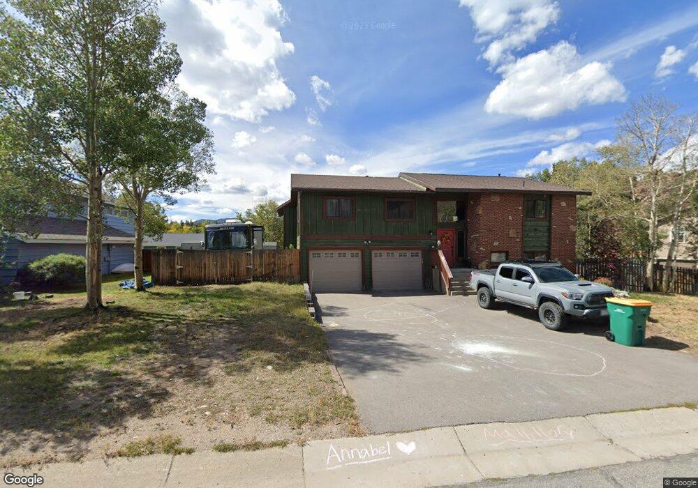
93 Canyon Trail Dillon, CO 80435
Estimated Value: $1,152,000 - $1,356,000
4
Beds
3
Baths
2,591
Sq Ft
$495/Sq Ft
Est. Value
About This Home
This home is located at 93 Canyon Trail, Dillon, CO 80435 and is currently estimated at $1,282,137, approximately $494 per square foot. 93 Canyon Trail is a home located in Summit County with nearby schools including Dillon Valley Elementary School, Summit Middle School, and Summit High School.
Ownership History
Date
Name
Owned For
Owner Type
Purchase Details
Closed on
Nov 6, 2020
Sold by
Blackwell John and Blackwell Rachel L
Bought by
Reynolds Richard
Current Estimated Value
Home Financials for this Owner
Home Financials are based on the most recent Mortgage that was taken out on this home.
Original Mortgage
$618,750
Outstanding Balance
$550,600
Interest Rate
2.8%
Mortgage Type
New Conventional
Estimated Equity
$731,537
Purchase Details
Closed on
Jul 29, 2005
Sold by
Gross Charles T and Gross Carolyn Michelle
Bought by
Blackwell John and Balckwell Rachel L
Home Financials for this Owner
Home Financials are based on the most recent Mortgage that was taken out on this home.
Original Mortgage
$33,900
Interest Rate
5.51%
Mortgage Type
Credit Line Revolving
Create a Home Valuation Report for This Property
The Home Valuation Report is an in-depth analysis detailing your home's value as well as a comparison with similar homes in the area
Home Values in the Area
Average Home Value in this Area
Purchase History
| Date | Buyer | Sale Price | Title Company |
|---|---|---|---|
| Reynolds Richard | $825,000 | Land Title Guarantee Co | |
| Blackwell John | $339,000 | None Available |
Source: Public Records
Mortgage History
| Date | Status | Borrower | Loan Amount |
|---|---|---|---|
| Open | Reynolds Richard | $618,750 | |
| Previous Owner | Blackwell John | $33,900 | |
| Previous Owner | Blackwell John | $271,200 |
Source: Public Records
Tax History
| Year | Tax Paid | Tax Assessment Tax Assessment Total Assessment is a certain percentage of the fair market value that is determined by local assessors to be the total taxable value of land and additions on the property. | Land | Improvement |
|---|---|---|---|---|
| 2024 | $4,428 | $85,653 | -- | -- |
| 2023 | $4,428 | $81,968 | $0 | $0 |
| 2022 | $3,055 | $53,459 | $0 | $0 |
| 2021 | $3,081 | $54,998 | $0 | $0 |
| 2020 | $2,648 | $50,484 | $0 | $0 |
| 2019 | $2,611 | $50,484 | $0 | $0 |
| 2018 | $2,231 | $41,801 | $0 | $0 |
| 2017 | $2,041 | $41,801 | $0 | $0 |
| 2016 | $2,013 | $40,608 | $0 | $0 |
| 2015 | $1,950 | $40,608 | $0 | $0 |
| 2014 | $1,796 | $36,929 | $0 | $0 |
| 2013 | -- | $36,929 | $0 | $0 |
Source: Public Records
Map
Nearby Homes
- 305 Straight Creek Dr Unit A
- 127 Cr 76
- 390 Straight Creek Dr Unit 307
- 490 Straight Creek Dr Unit 520
- 897 Deer Path Rd
- 9 Crown Ct
- 9 Crown Ct Unit 2078
- 535 Straight Creek Dr Unit D104
- 370 E La Bonte St Unit A
- 370 E La Bonte St Unit F
- 330 E La Bonte St Unit 2
- 145 Gold Run Cir
- 240 E La Bonte St Unit 35
- 240 E La Bonte St Unit 47
- 235 E La Bonte St Unit 108
- 235 E La Bonte St Unit 106
- 753 Straight Creek Dr Unit 201
- 220 E La Bonte St Unit 231
- 112 E La Bonte St Unit 208
- 414 Tenderfoot St Unit 16
Your Personal Tour Guide
Ask me questions while you tour the home.