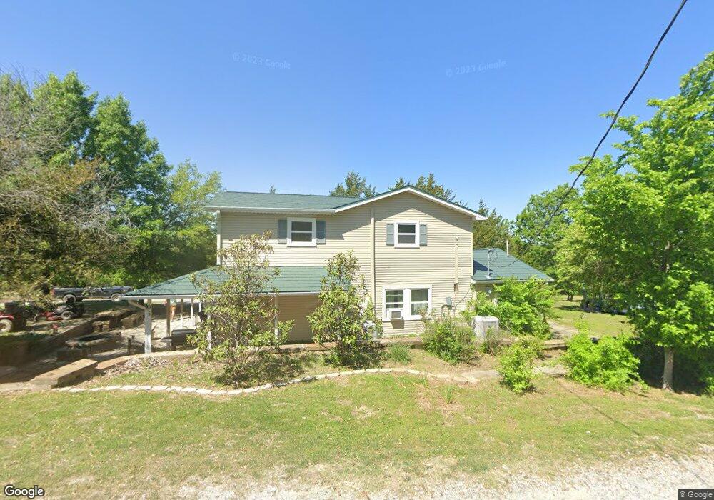
93 Chavarria Dr Sherman, TX 75090
Estimated Value: $416,000 - $430,003
3
Beds
3
Baths
1,520
Sq Ft
$278/Sq Ft
Est. Value
About This Home
This home is located at 93 Chavarria Dr, Sherman, TX 75090 and is currently estimated at $423,002, approximately $278 per square foot. 93 Chavarria Dr is a home located in Grayson County with nearby schools including Summit Hill Elementary School, Howe Middle School, and Howe High School.
Ownership History
Date
Name
Owned For
Owner Type
Purchase Details
Closed on
Jun 19, 2020
Sold by
Witt James W and Witt Lois A
Bought by
Guerrero Bridgette Rene
Current Estimated Value
Home Financials for this Owner
Home Financials are based on the most recent Mortgage that was taken out on this home.
Original Mortgage
$234,671
Outstanding Balance
$208,018
Interest Rate
3.2%
Mortgage Type
FHA
Estimated Equity
$214,984
Purchase Details
Closed on
Jun 7, 2011
Sold by
Secretary Of Veterans Affairs
Bought by
Witt James W and Witt Lois A
Purchase Details
Closed on
Dec 14, 2010
Sold by
Wells Fargo Bank N A
Bought by
Secretary Of Veterans Affairs
Purchase Details
Closed on
Dec 7, 2010
Sold by
Thompson Jennifer D and Thompson John B
Bought by
Wells Fargo Bank N A
Create a Home Valuation Report for This Property
The Home Valuation Report is an in-depth analysis detailing your home's value as well as a comparison with similar homes in the area
Home Values in the Area
Average Home Value in this Area
Purchase History
| Date | Buyer | Sale Price | Title Company |
|---|---|---|---|
| Guerrero Bridgette Rene | -- | None Available | |
| Witt James W | -- | Natgf | |
| Secretary Of Veterans Affairs | -- | None Available | |
| Wells Fargo Bank N A | $67,844 | None Available |
Source: Public Records
Mortgage History
| Date | Status | Borrower | Loan Amount |
|---|---|---|---|
| Open | Guerrero Bridgette Rene | $234,671 |
Source: Public Records
Tax History Compared to Growth
Tax History
| Year | Tax Paid | Tax Assessment Tax Assessment Total Assessment is a certain percentage of the fair market value that is determined by local assessors to be the total taxable value of land and additions on the property. | Land | Improvement |
|---|---|---|---|---|
| 2025 | $3,610 | $325,635 | $112,644 | $212,991 |
| 2024 | $4,856 | $323,782 | $0 | $0 |
| 2023 | $3,180 | $294,347 | $0 | $0 |
| 2022 | $4,618 | $267,588 | $0 | $0 |
| 2021 | $4,725 | $243,262 | $47,493 | $195,769 |
| 2020 | $2,976 | $195,770 | $46,750 | $149,020 |
| 2019 | $2,896 | $182,670 | $33,000 | $149,670 |
| 2018 | $2,473 | $135,427 | $26,000 | $109,427 |
| 2017 | $2,274 | $122,917 | $28,000 | $94,917 |
| 2016 | $1,315 | $120,248 | $24,500 | $95,748 |
| 2015 | $1,235 | $90,975 | $19,500 | $71,475 |
| 2014 | $1,312 | $83,188 | $13,000 | $70,188 |
Source: Public Records
Map
Nearby Homes
- 57 Lonesome Dove Dr
- 00 Akers Rd
- 262 Samuel
- 320 Tate Cir
- 992 Bennett Rd
- Tbd Bennett Rd
- 942 Bennett Rd
- 204 Tate Cir
- Tbd Bennett Rd
- TBA Bennett Rd
- 341 Stark Ln
- 90 Williams Trail
- 2554 Bennett Rd
- 516 Stark Ln
- 1100 W Shepherd Dr
- TBD Shepherd Dr
- 502 Ponderosa Rd
- 3183 Harrell Rd
- 1420 W Shepherd Dr
- 3223 Harrell Rd
- 93 Chavarria Dr
- 90 Chavarria Dr
- 104 Chavarria Dr
- 1876 Tate Cir
- 1677 Tate Cir
- 2050 Tate Cir
- 42 Lonesome Dove Dr
- 343 Biggerstaff Rd
- 56 Lonesome Dove Dr
- 1513 Tate Cir
- TBD Lonesome Dove Dr
- 41 Lonesome Dove Dr
- 70 Lonesome Dove Dr
- 455 Biggerstaff Rd
- 1472 Tate Cir
- 591 Biggerstaff Rd
- 124 Lonesome Dove Dr
- TBD Tate Cir
- 525 Biggerstaff Rd
- 111 Biggerstaff Rd