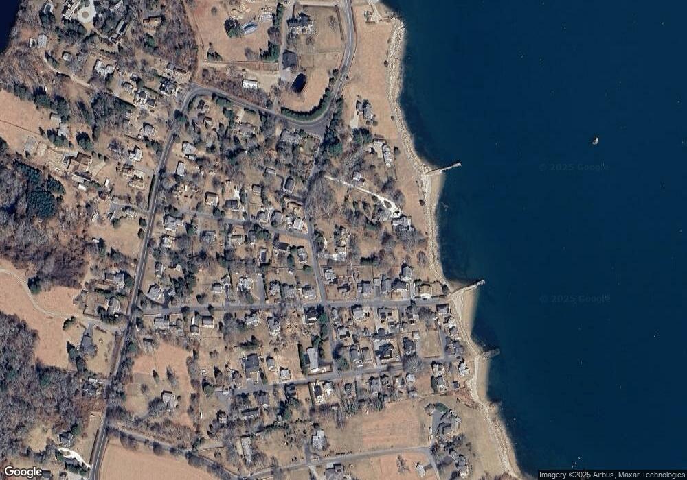
93 Degaris Ave South Dartmouth, MA 02748
Cow Yard/Nonquitt NeighborhoodEstimated Value: $1,796,274 - $2,298,000
3
Beds
4
Baths
2,643
Sq Ft
$769/Sq Ft
Est. Value
About This Home
This home is located at 93 Degaris Ave, South Dartmouth, MA 02748 and is currently estimated at $2,033,091, approximately $769 per square foot. 93 Degaris Ave is a home located in Bristol County with nearby schools including Dartmouth High School.
Create a Home Valuation Report for This Property
The Home Valuation Report is an in-depth analysis detailing your home's value as well as a comparison with similar homes in the area
Home Values in the Area
Average Home Value in this Area
Tax History Compared to Growth
Tax History
| Year | Tax Paid | Tax Assessment Tax Assessment Total Assessment is a certain percentage of the fair market value that is determined by local assessors to be the total taxable value of land and additions on the property. | Land | Improvement |
|---|---|---|---|---|
| 2025 | $15,972 | $1,855,100 | $1,178,900 | $676,200 |
| 2024 | $15,427 | $1,775,300 | $1,119,200 | $656,100 |
| 2023 | $14,202 | $1,548,800 | $945,100 | $603,700 |
| 2022 | $14,497 | $1,464,300 | $945,100 | $519,200 |
| 2021 | $6,295 | $1,415,400 | $936,800 | $478,600 |
| 2020 | $13,476 | $1,298,300 | $860,100 | $438,200 |
| 2019 | $13,688 | $1,316,200 | $884,500 | $431,700 |
| 2018 | $3,942 | $1,376,200 | $1,006,500 | $369,700 |
| 2017 | $13,082 | $1,305,600 | $951,400 | $354,200 |
| 2016 | $12,492 | $1,229,500 | $879,400 | $350,100 |
| 2015 | $12,908 | $1,273,000 | $918,900 | $354,100 |
| 2014 | $11,341 | $1,110,800 | $765,200 | $345,600 |
Source: Public Records
Map
Nearby Homes
- 738 Smith Neck Rd
- 23 High St
- 40 School St
- 105 Rock Odundee Rd
- 0 Stoneledge Rd
- 76 Shipyard Ln
- 48 Wilson St
- 00 Prospect St
- 248 Bakerville Rd
- 482 Smith Neck Rd
- 24 White Alder Way
- 21 Avis St
- 75 Country Way Unit 75
- 34 Country Way
- 212 Rockland St
- 2 Spinnaker Ln
- 61 Pardon Hill Rd
- 360 Russells Mills Rd
- 3 Mishawum Dr
- 5 Samosett Dr
