93 Forest St Dunstable, MA 01827
Estimated Value: $892,000 - $1,396,000
3
Beds
3
Baths
4,410
Sq Ft
$269/Sq Ft
Est. Value
About This Home
This home is located at 93 Forest St, Dunstable, MA 01827 and is currently estimated at $1,184,538, approximately $268 per square foot. 93 Forest St is a home located in Middlesex County with nearby schools including Groton Dunstable Regional High School and Academy of Notre Dame - Upper School.
Ownership History
Date
Name
Owned For
Owner Type
Purchase Details
Closed on
Dec 13, 2007
Sold by
Rubeski Charles T and Rubeski Gayle L
Bought by
Charles T Rubeski Lt and Rubeski Charles T
Current Estimated Value
Purchase Details
Closed on
Nov 23, 1998
Sold by
Thompson Jonathan F and Elliotte Debra
Bought by
Rubeski Charles T and Rubeski Gayle L
Home Financials for this Owner
Home Financials are based on the most recent Mortgage that was taken out on this home.
Original Mortgage
$227,150
Interest Rate
6.49%
Mortgage Type
Purchase Money Mortgage
Purchase Details
Closed on
Jul 20, 1989
Sold by
Morgan Chas W
Bought by
Thompson Jonathan
Home Financials for this Owner
Home Financials are based on the most recent Mortgage that was taken out on this home.
Original Mortgage
$187,600
Interest Rate
10.07%
Mortgage Type
Purchase Money Mortgage
Create a Home Valuation Report for This Property
The Home Valuation Report is an in-depth analysis detailing your home's value as well as a comparison with similar homes in the area
Home Values in the Area
Average Home Value in this Area
Purchase History
| Date | Buyer | Sale Price | Title Company |
|---|---|---|---|
| Charles T Rubeski Lt | -- | -- | |
| Rubeski Charles T | $345,000 | -- | |
| Thompson Jonathan | $339,600 | -- | |
| Thompson Jonathan | $339,600 | -- |
Source: Public Records
Mortgage History
| Date | Status | Borrower | Loan Amount |
|---|---|---|---|
| Previous Owner | Thompson Jonathan | $227,150 | |
| Previous Owner | Thompson Jonathan | $235,000 | |
| Previous Owner | Thompson Jonathan | $187,600 |
Source: Public Records
Tax History
| Year | Tax Paid | Tax Assessment Tax Assessment Total Assessment is a certain percentage of the fair market value that is determined by local assessors to be the total taxable value of land and additions on the property. | Land | Improvement |
|---|---|---|---|---|
| 2025 | $13,225 | $961,800 | $277,200 | $684,600 |
| 2024 | $12,778 | $915,300 | $256,100 | $659,200 |
| 2023 | $12,771 | $853,100 | $256,100 | $597,000 |
| 2022 | $12,253 | $803,500 | $256,100 | $547,400 |
| 2021 | $11,036 | $672,500 | $229,300 | $443,200 |
| 2020 | $10,978 | $651,900 | $229,300 | $422,600 |
| 2019 | $11,120 | $651,800 | $229,300 | $422,500 |
| 2018 | $10,784 | $614,800 | $222,100 | $392,700 |
| 2017 | $10,449 | $613,900 | $222,100 | $391,800 |
| 2016 | $10,124 | $611,700 | $222,100 | $389,600 |
| 2015 | $9,936 | $593,900 | $191,100 | $402,800 |
| 2014 | $9,426 | $597,700 | $191,100 | $406,600 |
Source: Public Records
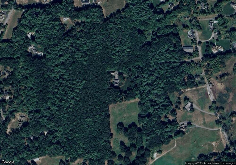
Map
Nearby Homes
- 0 Lowell St
- 62 Brook St
- 319 Pleasant St
- 6 Green Heron Ln Unit U22
- 38 Georgetown Dr
- 11 Lojko Dr
- 2 Strawberry Bank Rd Unit 17
- 20 Georgetown Dr
- 4 Heritage Village Dr
- 141 Ridge Rd
- 58 Wilderness Dr
- 1 Doucet Ave
- 77 Wilderness Dr
- 8 Wilderness Dr
- 65 Wilderness Dr
- 1 Wilderness Dr
- 4 Wilderness Dr
- 2 Wilderness Dr
- 79 Wilderness Dr
- 3 Wilderness Dr
Your Personal Tour Guide
Ask me questions while you tour the home.