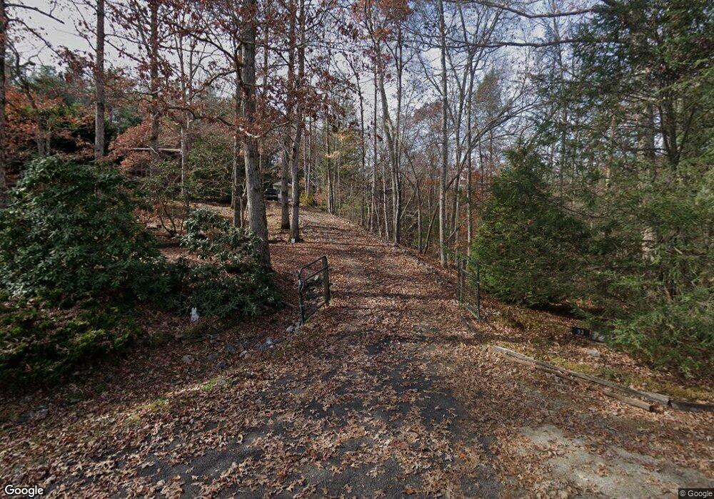
93 Jamie Ln Unit 12 Blairsville, GA 30512
Estimated Value: $401,909 - $450,000
3
Beds
3
Baths
2,492
Sq Ft
$169/Sq Ft
Est. Value
About This Home
This home is located at 93 Jamie Ln Unit 12, Blairsville, GA 30512 and is currently estimated at $419,977, approximately $168 per square foot. 93 Jamie Ln Unit 12 is a home located in Union County with nearby schools including Union County Primary School, Union County Elementary School, and Union County Middle School.
Ownership History
Date
Name
Owned For
Owner Type
Purchase Details
Closed on
Aug 22, 2024
Sold by
Newton Michelle Mae
Bought by
Bishoff Charles G and Bishoff Sue F
Current Estimated Value
Purchase Details
Closed on
Jul 13, 2018
Sold by
Newton Rodney M
Bought by
Newton Rodney M and Newton Michelle Mae
Purchase Details
Closed on
May 24, 2011
Sold by
Thompson Hugh G
Bought by
Baad Robert E and Robert E Baad Living Trust
Purchase Details
Closed on
Jul 31, 2001
Sold by
Bunting Everett N
Bought by
Thompson Hugh G and Thompson Ma
Purchase Details
Closed on
Apr 25, 1991
Bought by
Bunting Everett N
Create a Home Valuation Report for This Property
The Home Valuation Report is an in-depth analysis detailing your home's value as well as a comparison with similar homes in the area
Home Values in the Area
Average Home Value in this Area
Purchase History
| Date | Buyer | Sale Price | Title Company |
|---|---|---|---|
| Bishoff Charles G | $390,000 | -- | |
| Newton Rodney M | -- | -- | |
| Newton Rodney M | $185,000 | -- | |
| Baad Robert E | $149,900 | -- | |
| Thompson Hugh G | $157,500 | -- | |
| Bunting Everett N | -- | -- |
Source: Public Records
Tax History Compared to Growth
Tax History
| Year | Tax Paid | Tax Assessment Tax Assessment Total Assessment is a certain percentage of the fair market value that is determined by local assessors to be the total taxable value of land and additions on the property. | Land | Improvement |
|---|---|---|---|---|
| 2024 | $1,647 | $141,432 | $35,280 | $106,152 |
| 2023 | $1,850 | $140,992 | $35,280 | $105,712 |
| 2022 | $1,538 | $117,536 | $35,280 | $82,256 |
| 2021 | $1,619 | $104,708 | $35,280 | $69,428 |
| 2020 | $1,035 | $56,721 | $11,900 | $44,821 |
| 2019 | $979 | $56,721 | $11,900 | $44,821 |
| 2018 | $996 | $56,721 | $11,900 | $44,821 |
| 2017 | $996 | $56,721 | $11,900 | $44,821 |
| 2016 | $997 | $56,721 | $11,900 | $44,821 |
| 2015 | $1,005 | $56,721 | $11,900 | $44,821 |
| 2013 | -- | $56,721 | $11,900 | $44,821 |
Source: Public Records
Map
Nearby Homes
- 2165 Townsend Mill Rd
- 82 Rileigh Ridge
- 1631 Woods Valley Rd
- 1628 Woods Valley Rd
- 11,12 Mountain Laurel Estate
- 26.18 AC Green Rd
- 1396 Deerfield Rd
- 187 Bierce Dr
- 1380 Deerfield Rd
- 6205 Trevor Way
- 6124 Stone Mill Dr
- 181 Morgan Ridge Ct
- Lot 36 Sanctuary Dr
- 0 Morgan Creek Lot 6 Unit 329479
- Lt 19 Bitter Creek Rd
- 5827 Brasstown Creek Estate
- TRACT 4 Morgan Ridge Dr
- 93 Jamie Ln
- 23 Jamie Ln
- 36 Jamie Ln
- 96 Jamie Ln
- 70 Jamie Ln
- 5190 Ashley Cir
- 767 Ashley Cir
- 108 Jamie Ln
- 755 Ashley Cir
- 583 Ashley Cir
- 0 Ashley Cir Unit 8797229
- 0 Ashley Cir Unit 8872879
- 788 Ashley Cir
- 788 Ashley Cir Unit 13
- 807 Ashley Cir
- 7721 U S Highway 76
- 843 Ashley Cir
- 4860 Ashley Cir
- 193 Shaun Ln
- 193 Shaun Ln
