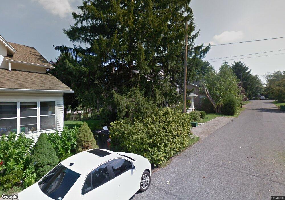
93 Lindberg Ave Pottstown, PA 19465
North Coventry NeighborhoodEstimated Value: $263,000 - $350,000
3
Beds
1
Bath
1,405
Sq Ft
$219/Sq Ft
Est. Value
About This Home
This home is located at 93 Lindberg Ave, Pottstown, PA 19465 and is currently estimated at $307,509, approximately $218 per square foot. 93 Lindberg Ave is a home located in Chester County with nearby schools including North Coventry Elementary School, Owen J Roberts Middle School, and Owen J Roberts High School.
Ownership History
Date
Name
Owned For
Owner Type
Purchase Details
Closed on
Aug 30, 1999
Sold by
Lord Bruce E
Bought by
Matthews David P and Matthews Jeanne M
Current Estimated Value
Home Financials for this Owner
Home Financials are based on the most recent Mortgage that was taken out on this home.
Original Mortgage
$109,550
Outstanding Balance
$31,680
Interest Rate
7.5%
Mortgage Type
FHA
Estimated Equity
$275,829
Create a Home Valuation Report for This Property
The Home Valuation Report is an in-depth analysis detailing your home's value as well as a comparison with similar homes in the area
Home Values in the Area
Average Home Value in this Area
Purchase History
| Date | Buyer | Sale Price | Title Company |
|---|---|---|---|
| Matthews David P | $90,000 | -- |
Source: Public Records
Mortgage History
| Date | Status | Borrower | Loan Amount |
|---|---|---|---|
| Open | Matthews David P | $109,550 |
Source: Public Records
Tax History Compared to Growth
Tax History
| Year | Tax Paid | Tax Assessment Tax Assessment Total Assessment is a certain percentage of the fair market value that is determined by local assessors to be the total taxable value of land and additions on the property. | Land | Improvement |
|---|---|---|---|---|
| 2025 | $4,125 | $97,390 | $23,440 | $73,950 |
| 2024 | $4,125 | $97,390 | $23,440 | $73,950 |
| 2023 | $4,067 | $97,390 | $23,440 | $73,950 |
| 2022 | $3,983 | $97,390 | $23,440 | $73,950 |
| 2021 | $3,914 | $97,390 | $23,440 | $73,950 |
| 2020 | $3,815 | $97,390 | $23,440 | $73,950 |
| 2019 | $3,745 | $97,390 | $23,440 | $73,950 |
| 2018 | $3,645 | $97,390 | $23,440 | $73,950 |
| 2017 | $3,550 | $97,390 | $23,440 | $73,950 |
| 2016 | $2,998 | $97,390 | $23,440 | $73,950 |
| 2015 | $2,998 | $97,390 | $23,440 | $73,950 |
| 2014 | $2,998 | $97,390 | $23,440 | $73,950 |
Source: Public Records
Map
Nearby Homes
- 435 Kline Ave
- 84 W Schuylkill Rd
- 468 Kline Ave
- 383 W Cedarville Rd
- 738 Union Ave
- 277 Industrial Hwy
- 1132 Wendler Cir
- 797 Union Ave
- 425 Laurel St
- 410 Cherry St
- 325 South St
- 426 Cherry St
- 110 S Franklin St
- 428 South St
- 780 E Cedarville Rd
- 363 New St
- 48 Chestnut St
- 0000 Chestnut St
- 322 Chestnut St
- 422 King St
- 81 Lindberg Ave
- 95 Lindberg Ave
- 71 Lindberg Ave
- 96 Lindberg Ave
- 59 Lindberg Ave
- 92 Lindberg Ave
- 98 Mount Zion Ave
- 78 Mount Zion Ave
- 580 Kline Ave
- 586 Kline Ave
- 574 Kline Ave
- 621 Coyne Ave
- 621 Coyne Alley Unit 1ST FLOOR
- 62 Mount Zion Ave
- 116 Mount Zion Ave
- 645 Coyne Ave
- 614 Kline Ave
- 601 S Hanover St
- 126 Mount Zion Ave
- 611 S Hanover St