93 Masquesatch Rd Westport Point, MA 02791
Westport Point NeighborhoodEstimated Value: $673,000 - $1,470,000
2
Beds
--
Bath
1,400
Sq Ft
$664/Sq Ft
Est. Value
About This Home
This home is located at 93 Masquesatch Rd, Westport Point, MA 02791 and is currently estimated at $929,739, approximately $664 per square foot. 93 Masquesatch Rd is a home with nearby schools including Alice A. Macomber Primary School, Westport Elementary School, and Westport Middle-High School.
Ownership History
Date
Name
Owned For
Owner Type
Purchase Details
Closed on
Oct 6, 2022
Sold by
Madara Lisa V
Bought by
Madara Lt
Current Estimated Value
Purchase Details
Closed on
Jan 13, 2010
Sold by
Madara David J and Madara Lisa V
Bought by
Madara Lisa V
Purchase Details
Closed on
Sep 15, 2003
Sold by
Morse Robert E
Bought by
Madara David J and Madara Lisa V
Home Financials for this Owner
Home Financials are based on the most recent Mortgage that was taken out on this home.
Original Mortgage
$210,000
Interest Rate
6.22%
Mortgage Type
Purchase Money Mortgage
Create a Home Valuation Report for This Property
The Home Valuation Report is an in-depth analysis detailing your home's value as well as a comparison with similar homes in the area
Home Values in the Area
Average Home Value in this Area
Purchase History
| Date | Buyer | Sale Price | Title Company |
|---|---|---|---|
| Madara Lt | -- | None Available | |
| Madara Lisa V | -- | -- | |
| Madara David J | $285,000 | -- |
Source: Public Records
Mortgage History
| Date | Status | Borrower | Loan Amount |
|---|---|---|---|
| Previous Owner | Madara David J | $312,000 | |
| Previous Owner | Madara David J | $300,000 | |
| Previous Owner | Madara David J | $210,000 |
Source: Public Records
Tax History Compared to Growth
Tax History
| Year | Tax Paid | Tax Assessment Tax Assessment Total Assessment is a certain percentage of the fair market value that is determined by local assessors to be the total taxable value of land and additions on the property. | Land | Improvement |
|---|---|---|---|---|
| 2025 | $5,202 | $698,200 | $415,400 | $282,800 |
| 2024 | $5,120 | $662,300 | $384,800 | $277,500 |
| 2023 | $4,694 | $575,200 | $317,600 | $257,600 |
| 2022 | $3,650 | $452,200 | $317,600 | $134,600 |
| 2021 | $3,650 | $423,400 | $288,800 | $134,600 |
| 2020 | $3,471 | $411,800 | $277,200 | $134,600 |
| 2019 | $3,310 | $400,200 | $277,200 | $123,000 |
| 2018 | $2,359 | $288,700 | $209,700 | $79,000 |
| 2017 | $2,362 | $296,300 | $226,800 | $69,500 |
| 2016 | $2,498 | $315,800 | $246,300 | $69,500 |
| 2015 | $2,376 | $299,600 | $229,100 | $70,500 |
Source: Public Records
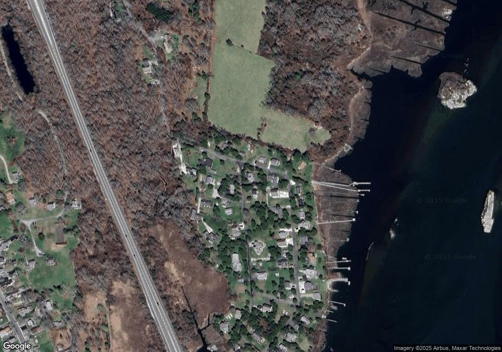
Map
Nearby Homes
- 1881 Main Rd
- 1702 Drift Rd
- 1702J Drift Rd
- 0 Reed Rd (Ss)
- 1749 Main Rd
- 1580 Main Rd
- 99 Sylvia Ln
- 1346 Main Rd Unit B
- 238-242 E Beach Rd
- 19 Seabury Ln
- Lot 2 Horseneck Rd
- 189 Brayton Point Rd
- 304 Brayton Point Rd
- 225 Hixbridge Rd
- 255 John Dyer Rd
- 920 Drift Rd
- 245 John Dyer Rd
- 17 Quail Trail
- Lot 2E Horseneck Rd
- 101 Adamsville Rd
- 39 Red Cedar Rd
- 96 Masquesatch Rd
- 39 Cedar Ln Unit RED
- 42 Cedar Ln Unit RED
- 90 Masquesatch Rd
- 3 E Shore Rd
- 100 Masquesatch Rd
- 81 Masquesatch Rd
- 9 E Shore Rd
- 9 Juniper Rd
- 86 Masquesatch Rd
- 36 Cedar Ln Unit RED
- 9 Juniper Ln
- 81 Masquesatch Rd
- 11 E Shore Rd
- 8 Juniper Rd
- 106 Masquesatch Rd
- 32 Cedar Ln Unit RED
- 32 Red Cedar Rd
- 79 Masquesatch Rd