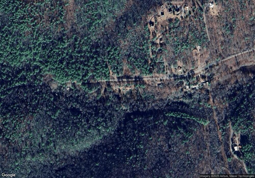
93 Mulky Branch Ln Blairsville, GA 30512
Estimated Value: $226,696 - $383,000
3
Beds
1
Bath
1,305
Sq Ft
$240/Sq Ft
Est. Value
About This Home
This home is located at 93 Mulky Branch Ln, Blairsville, GA 30512 and is currently estimated at $313,174, approximately $239 per square foot. 93 Mulky Branch Ln is a home located in Union County with nearby schools including Union County Primary School, Union County Elementary School, and Union County Middle School.
Ownership History
Date
Name
Owned For
Owner Type
Purchase Details
Closed on
Dec 30, 2012
Sold by
Collins David R and Collins Pamela C
Bought by
Collins David R & Pamela C Trust
Current Estimated Value
Purchase Details
Closed on
Dec 15, 2011
Sold by
Collins Pamela Cosby
Bought by
Collins Pamela Cosby
Purchase Details
Closed on
Sep 13, 2002
Sold by
Mason Bryan
Bought by
Collins David R and Collins Pamela C
Purchase Details
Closed on
Apr 20, 1995
Bought by
Mason Bryan
Create a Home Valuation Report for This Property
The Home Valuation Report is an in-depth analysis detailing your home's value as well as a comparison with similar homes in the area
Home Values in the Area
Average Home Value in this Area
Purchase History
| Date | Buyer | Sale Price | Title Company |
|---|---|---|---|
| Collins David R & Pamela C Trust | -- | -- | |
| Collins Pamela Cosby | -- | -- | |
| Collins David Russell | -- | -- | |
| Collins Pamela Cosby | -- | -- | |
| Collins David R | $70,600 | -- | |
| Mason Bryan | -- | -- |
Source: Public Records
Tax History Compared to Growth
Tax History
| Year | Tax Paid | Tax Assessment Tax Assessment Total Assessment is a certain percentage of the fair market value that is determined by local assessors to be the total taxable value of land and additions on the property. | Land | Improvement |
|---|---|---|---|---|
| 2024 | $702 | $59,480 | $8,880 | $50,600 |
| 2023 | $790 | $59,360 | $8,880 | $50,480 |
| 2022 | $659 | $49,520 | $8,200 | $41,320 |
| 2021 | $595 | $37,760 | $4,640 | $33,120 |
| 2020 | $564 | $29,813 | $8,031 | $21,782 |
| 2019 | $533 | $29,813 | $8,031 | $21,782 |
| 2018 | $524 | $29,813 | $8,031 | $21,782 |
| 2017 | $524 | $29,813 | $8,031 | $21,782 |
| 2016 | $524 | $29,813 | $8,031 | $21,782 |
| 2015 | $528 | $29,813 | $8,031 | $21,782 |
| 2013 | -- | $29,813 | $8,030 | $21,782 |
Source: Public Records
Map
Nearby Homes
- 3515 Mulky Gap Rd
- 2930 Hicks Gap Rd
- 10 Acres Mount Pleasant Church Dr
- 350 Miller Cove Rd
- 210 Mt Pleasant Ridge
- 10 ACRES Mount Pleasant Church Rd
- 18.6Acre Mount Pleasant Church Rd
- 20 ACRES Mount Pleasant Church Rd
- 20 Acr Mount Pleasant Church Rd
- 13.94AC Mount Pleasant Church Rd
- 78 Enotah Ln
- 50 Henry Young Ln
- 6AC Pleasant Church Rd
- 134 Caleb Dr
- 392 Poplar Ridge Dr
- 652 Pleasant Valley Ln
- 68 Coosa View Ln
- 59 Meeks Ln
- 330 Coosa Run
- 277 Hamilton Rd
- 3849 Mulky Gap Rd
- 59 Crest Rd
- 59 Crest Rd
- E E Mason Dr
- 3740 E Mulky Gap Rd
- 163 Mulky Branch Ln
- 30 E Mason Dr
- 88 Crest Rd
- 116 Crest Rd
- 78 Mulky Branch Ln
- 3515 Mulkey Gap Rd
- 0 Crest Rd
- 327 Crest Rd
- 101 E Mason Dr
- 101 E Mason Dr
- LOT191 Thirteen Hundred
- 297 Crest Rd
- 4291 Crest Rd
- 257 Crest Rd
- 241 Crest Rd
