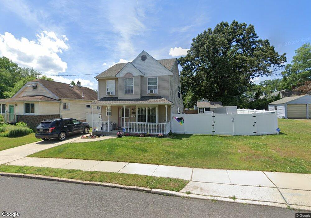
93 N Read Ave Runnemede, NJ 08078
Estimated Value: $285,836 - $386,000
Studio
--
Bath
1,496
Sq Ft
$210/Sq Ft
Est. Value
About This Home
This home is located at 93 N Read Ave, Runnemede, NJ 08078 and is currently estimated at $313,959, approximately $209 per square foot. 93 N Read Ave is a home located in Camden County with nearby schools including Mary E. Volz Elementary School, Bingham Elementary School, and Triton High School.
Ownership History
Date
Name
Owned For
Owner Type
Purchase Details
Closed on
Jun 15, 2012
Sold by
Burke Richard H
Bought by
Liberkowski John F and Liberkowski Linda A
Current Estimated Value
Purchase Details
Closed on
Jan 15, 1993
Bought by
Liberkowski John F and Liberkowski Linda
Create a Home Valuation Report for This Property
The Home Valuation Report is an in-depth analysis detailing your home's value as well as a comparison with similar homes in the area
Home Values in the Area
Average Home Value in this Area
Purchase History
| Date | Buyer | Sale Price | Title Company |
|---|---|---|---|
| Liberkowski John F | $20,000 | None Available | |
| Liberkowski John F | $106,000 | -- |
Source: Public Records
Tax History
| Year | Tax Paid | Tax Assessment Tax Assessment Total Assessment is a certain percentage of the fair market value that is determined by local assessors to be the total taxable value of land and additions on the property. | Land | Improvement |
|---|---|---|---|---|
| 2025 | $7,607 | $159,100 | $45,500 | $113,600 |
| 2024 | $6,951 | $159,100 | $45,500 | $113,600 |
| 2023 | $6,951 | $159,100 | $45,500 | $113,600 |
| 2022 | $6,730 | $159,100 | $45,500 | $113,600 |
| 2021 | $6,571 | $159,100 | $45,500 | $113,600 |
| 2020 | $6,506 | $159,100 | $45,500 | $113,600 |
| 2019 | $6,386 | $159,100 | $45,500 | $113,600 |
| 2018 | $6,264 | $159,100 | $45,500 | $113,600 |
| 2017 | $6,103 | $159,100 | $45,500 | $113,600 |
| 2016 | $6,027 | $159,100 | $45,500 | $113,600 |
| 2015 | $6,044 | $159,100 | $45,500 | $113,600 |
| 2014 | $5,966 | $159,100 | $45,500 | $113,600 |
Source: Public Records
Map
Nearby Homes
- 60 N Oakland Ave
- 20 N Oakland Ave
- 102 W Clements Bridge Rd
- 311 Bowers Ave
- 524 Hirsch Ave
- 206 W 5th Ave
- 37 S Read Ave
- 29 W 4th Ave
- 22 W 6th Ave
- 1 Whaler Ave
- 5 Whaler Ave
- 9 Whaler Ave
- 511 N Black Horse Pike
- 38 Robert Dr
- 1050 Woodland Ave
- 167 Singley Ave
- 120 E 4th Ave
- 850 Orchard Ave
- 304 E Clements Bridge Rd
- 112 Lindsey Ave
Your Personal Tour Guide
Ask me questions while you tour the home.