93 Nokomis Rd Unit Single Fami Hingham, MA 02043
Crow Point NeighborhoodEstimated Value: $898,000 - $1,095,000
4
Beds
1
Bath
1,448
Sq Ft
$691/Sq Ft
Est. Value
About This Home
This home is located at 93 Nokomis Rd Unit Single Fami, Hingham, MA 02043 and is currently estimated at $1,000,081, approximately $690 per square foot. 93 Nokomis Rd Unit Single Fami is a home located in Plymouth County with nearby schools including William L. Foster Elementary School, Hingham Middle School, and Hingham High School.
Ownership History
Date
Name
Owned For
Owner Type
Purchase Details
Closed on
Mar 8, 2024
Sold by
Stanton Thomas F and Stanton Caitlin A
Bought by
Stanton Ft and Stanton
Current Estimated Value
Purchase Details
Closed on
Aug 25, 1995
Sold by
Nelson Susan E
Bought by
Stanton Thomas F and Stanton Caitlin A
Create a Home Valuation Report for This Property
The Home Valuation Report is an in-depth analysis detailing your home's value as well as a comparison with similar homes in the area
Home Values in the Area
Average Home Value in this Area
Purchase History
| Date | Buyer | Sale Price | Title Company |
|---|---|---|---|
| Stanton Ft | -- | None Available | |
| Stanton Ft | -- | None Available | |
| Stanton Thomas F | $119,900 | -- | |
| Stanton Thomas F | $119,900 | -- |
Source: Public Records
Mortgage History
| Date | Status | Borrower | Loan Amount |
|---|---|---|---|
| Previous Owner | Stanton Thomas F | $32,000 | |
| Previous Owner | Stanton Thomas F | $267,000 | |
| Previous Owner | Stanton Thomas F | $240,000 |
Source: Public Records
Tax History Compared to Growth
Tax History
| Year | Tax Paid | Tax Assessment Tax Assessment Total Assessment is a certain percentage of the fair market value that is determined by local assessors to be the total taxable value of land and additions on the property. | Land | Improvement |
|---|---|---|---|---|
| 2025 | $6,989 | $653,800 | $398,300 | $255,500 |
| 2024 | $6,756 | $622,700 | $398,300 | $224,400 |
| 2023 | $6,159 | $615,900 | $398,300 | $217,600 |
| 2022 | $6,157 | $532,600 | $343,700 | $188,900 |
| 2021 | $5,927 | $502,300 | $343,700 | $158,600 |
| 2020 | $5,792 | $502,300 | $343,700 | $158,600 |
| 2019 | $5,495 | $465,300 | $265,600 | $199,700 |
| 2018 | $5,184 | $440,400 | $265,600 | $174,800 |
| 2017 | $5,025 | $410,200 | $268,000 | $142,200 |
| 2016 | $4,415 | $353,500 | $200,600 | $152,900 |
| 2015 | $4,568 | $364,600 | $191,100 | $173,500 |
Source: Public Records
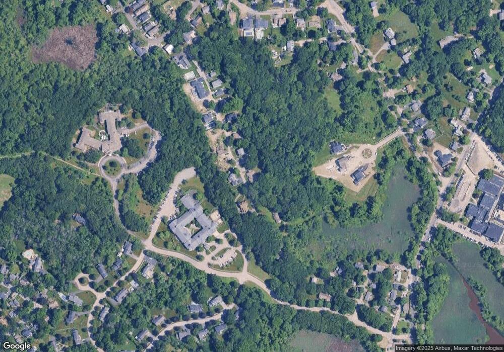
Map
Nearby Homes
- 15 Bayberry Rd
- 12 Daley Rd
- 125 Halsted Dr Unit 125
- 53 Bel Air Rd - To Be Built
- 16 Foley Beach Rd
- 6 Whiton Ave
- 81 Kimball Beach Rd
- 17 Paige St
- 130 Broad Reach Unit 206
- 10 Shipyard Dr Unit 313
- 73 Broad Reach Unit M36C
- 73 Broad Reach Unit M21C
- 51 Broad Reach Unit T23A
- 246 North St
- 191 South St
- 16 Beal's Cove Rd Unit E
- 10 Beals Cove Rd Unit C
- 21 Hersey St
- 13 Ship St
- 102 Central St