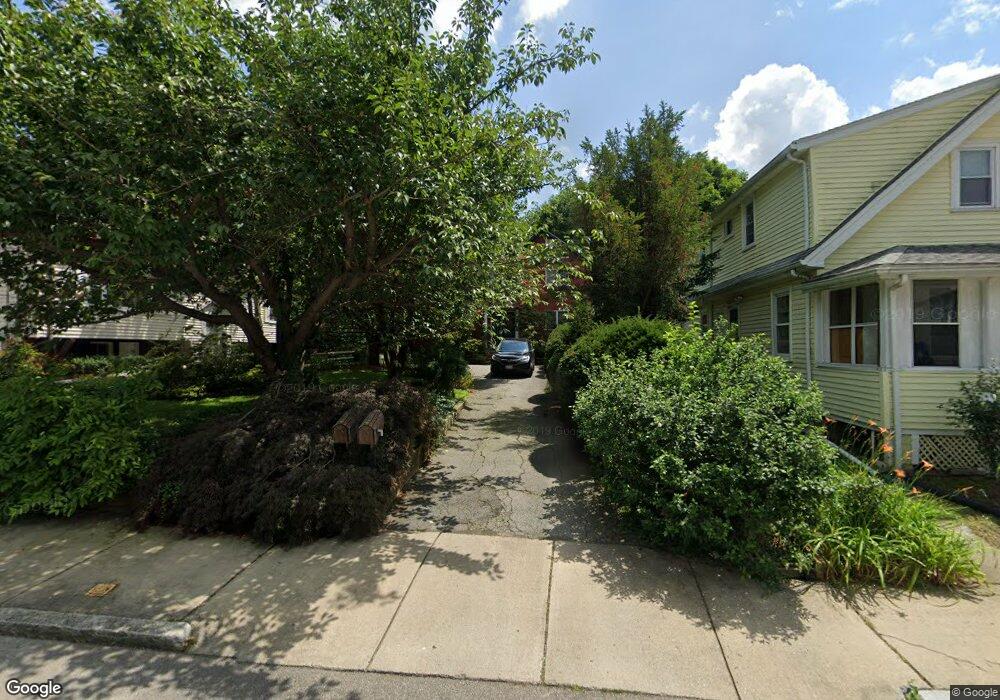
93 Normandy Ave Cambridge, MA 02138
Estimated Value: $1,557,000 - $2,143,238
3
Beds
3
Baths
2,334
Sq Ft
$769/Sq Ft
Est. Value
About This Home
This home is located at 93 Normandy Ave, Cambridge, MA 02138 and is currently estimated at $1,794,060, approximately $768 per square foot. 93 Normandy Ave is a home located in Middlesex County with nearby schools including Fayerweather Street School and Cambridge Montessori School.
Ownership History
Date
Name
Owned For
Owner Type
Purchase Details
Closed on
Aug 18, 1999
Sold by
Tongudai Jiranee and Mongkolcheep Jenny
Bought by
Beneck Neil and Saint-Hilaire Marie
Current Estimated Value
Home Financials for this Owner
Home Financials are based on the most recent Mortgage that was taken out on this home.
Original Mortgage
$366,400
Interest Rate
7.6%
Mortgage Type
Purchase Money Mortgage
Create a Home Valuation Report for This Property
The Home Valuation Report is an in-depth analysis detailing your home's value as well as a comparison with similar homes in the area
Purchase History
| Date | Buyer | Sale Price | Title Company |
|---|---|---|---|
| Beneck Neil | $458,000 | -- |
Source: Public Records
Mortgage History
| Date | Status | Borrower | Loan Amount |
|---|---|---|---|
| Open | Beneck Neil | $266,000 | |
| Closed | Beneck Neil | $15,000 | |
| Closed | Beneck Neil | $366,400 |
Source: Public Records
Tax History Compared to Growth
Tax History
| Year | Tax Paid | Tax Assessment Tax Assessment Total Assessment is a certain percentage of the fair market value that is determined by local assessors to be the total taxable value of land and additions on the property. | Land | Improvement |
|---|---|---|---|---|
| 2025 | $11,635 | $1,832,300 | $682,000 | $1,150,300 |
| 2024 | $10,845 | $1,831,900 | $710,400 | $1,121,500 |
| 2023 | $9,933 | $1,695,100 | $724,600 | $970,500 |
| 2022 | $9,155 | $1,546,400 | $686,200 | $860,200 |
| 2021 | $8,712 | $1,489,200 | $688,500 | $800,700 |
| 2020 | $8,205 | $1,427,000 | $668,300 | $758,700 |
| 2019 | $7,712 | $1,298,400 | $596,500 | $701,900 |
| 2018 | $7,374 | $1,172,400 | $502,300 | $670,100 |
| 2017 | $7,128 | $1,098,300 | $470,900 | $627,400 |
| 2016 | $6,919 | $989,800 | $408,100 | $581,700 |
| 2015 | $6,879 | $879,700 | $358,800 | $520,900 |
| 2014 | $6,938 | $827,900 | $313,900 | $514,000 |
Source: Public Records
Map
Nearby Homes
- 23 Loomis St Unit 23
- 95 Griswold St Unit 95
- 93 Griswold St Unit 93
- 55 S Normandy Ave
- 63 Loomis St Unit 63
- 4 Merrill Ave
- 50 Hamilton Rd
- 46 Hamilton Rd
- 73 Trowbridge St Unit 73A
- 73 Trowbridge St Unit 73B
- 48 Concord Ave
- 17 Smith Place
- 75 Statler Rd
- 31 Mott St Unit 31A
- 181 Grove St
- 1 Spinney Terrace
- 200 Claflin St
- 147 Claflin St
- 3 Seagrave Rd
- 60 Washington St
- 99 Normandy Ave
- 99 Normandy Ave
- 99 Normandy Ave Unit 2
- 89 Normandy Ave
- 89 Normandy Ave Unit 2
- 89 Normandy Ave Unit 1
- 103 Normandy Ave
- 15 Loomis St
- 21 Loomis St
- 13 Loomis St
- 96 Normandy Ave
- 85 Normandy Ave
- 11 Loomis St
- 25 Loomis St
- 1 Loomis St
- 7 Normandy Terrace
- 104 Normandy Ave
- 104 Normady Unit 1
- 98 Normandy Ave
- 90 Normandy Ave Unit 1