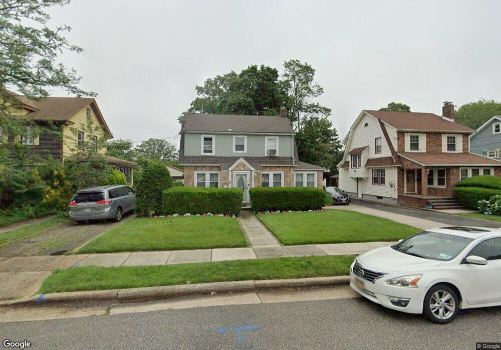
93 Parsons Dr Hempstead, NY 11550
Estimated Value: $598,169 - $602,000
Studio
1
Bath
1,636
Sq Ft
$367/Sq Ft
Est. Value
About This Home
This home is located at 93 Parsons Dr, Hempstead, NY 11550 and is currently estimated at $600,085, approximately $366 per square foot. 93 Parsons Dr is a home located in Nassau County with nearby schools including The Academy Charter School, Evergreen Charter School, and Crescent School.
Ownership History
Date
Name
Owned For
Owner Type
Purchase Details
Closed on
Jan 6, 1999
Current Estimated Value
Purchase Details
Closed on
May 9, 1995
Sold by
Federal Home Loan Mtge Corp
Bought by
Daniels Warren
Home Financials for this Owner
Home Financials are based on the most recent Mortgage that was taken out on this home.
Original Mortgage
$88,350
Interest Rate
8.33%
Create a Home Valuation Report for This Property
The Home Valuation Report is an in-depth analysis detailing your home's value as well as a comparison with similar homes in the area
Home Values in the Area
Average Home Value in this Area
Purchase History
| Date | Buyer | Sale Price | Title Company |
|---|---|---|---|
| -- | -- | -- | |
| Daniels Warren | $93,000 | -- |
Source: Public Records
Mortgage History
| Date | Status | Borrower | Loan Amount |
|---|---|---|---|
| Closed | Daniels Warren | $88,350 |
Source: Public Records
Tax History
| Year | Tax Paid | Tax Assessment Tax Assessment Total Assessment is a certain percentage of the fair market value that is determined by local assessors to be the total taxable value of land and additions on the property. | Land | Improvement |
|---|---|---|---|---|
| 2025 | $9,212 | $363 | $166 | $197 |
| 2024 | $925 | $363 | $166 | $197 |
Source: Public Records
Map
Nearby Homes
- 60 Parsons Dr
- 10 Taft Ave
- 24 Parsons Dr
- 14 Parsons Dr
- 16 Laurel Ave
- 31 Grove St
- 22 Mason St
- 23 Maple Ave
- 40 Mason St
- 86 Linden Ave
- 142 S Franklin St
- 3840 Linden Place
- 23 Harriman Ave
- 33 Linden Ave
- 30 Cathedral Ave Unit 6B
- 22 Mulford Place Unit 2D
- 24 Mulford Place Unit 4B
- 24 Mulford Place Unit 6A
- 41 Eldridge Ave
- 104 Grove St
- 87 Parsons Dr
- 99 Parsons Dr
- 83 Parsons Dr
- 101 Parsons Dr
- 97 President St
- 99 President St
- 91 President St
- 103 President St
- 103 Parsons Dr
- 79 Parsons Dr
- 87 President St
- 107 President St
- 102 Parsons Dr
- 83 President St
- 111 President St
- 84 Parsons Dr
- 111 Parsons Dr
- 106 Parsons Dr
- 73 Parsons Dr
- 79 President St
Your Personal Tour Guide
Ask me questions while you tour the home.