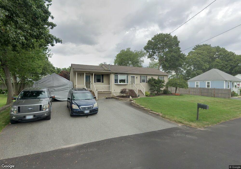
93 Payton Ave Warwick, RI 02889
Long Meadow NeighborhoodEstimated Value: $424,773 - $475,000
3
Beds
1
Bath
1,256
Sq Ft
$354/Sq Ft
Est. Value
About This Home
This home is located at 93 Payton Ave, Warwick, RI 02889 and is currently estimated at $444,943, approximately $354 per square foot. 93 Payton Ave is a home located in Kent County with nearby schools including Saint Kevin School and Bishop Hendricken High School.
Ownership History
Date
Name
Owned For
Owner Type
Purchase Details
Closed on
Aug 27, 2007
Sold by
Wilkins Kathleen M and Wilkins Daniel S
Bought by
Bianchi Cheryl A
Current Estimated Value
Home Financials for this Owner
Home Financials are based on the most recent Mortgage that was taken out on this home.
Original Mortgage
$145,000
Interest Rate
6.78%
Mortgage Type
Purchase Money Mortgage
Create a Home Valuation Report for This Property
The Home Valuation Report is an in-depth analysis detailing your home's value as well as a comparison with similar homes in the area
Home Values in the Area
Average Home Value in this Area
Purchase History
| Date | Buyer | Sale Price | Title Company |
|---|---|---|---|
| Bianchi Cheryl A | $145,000 | -- |
Source: Public Records
Mortgage History
| Date | Status | Borrower | Loan Amount |
|---|---|---|---|
| Open | Bianchi Cheryl A | $152,000 | |
| Closed | Bianchi Cheryl A | $155,000 | |
| Closed | Bianchi Cheryl A | $145,000 | |
| Previous Owner | Bianchi Cheryl A | $152,000 |
Source: Public Records
Tax History
| Year | Tax Paid | Tax Assessment Tax Assessment Total Assessment is a certain percentage of the fair market value that is determined by local assessors to be the total taxable value of land and additions on the property. | Land | Improvement |
|---|---|---|---|---|
| 2025 | $4,994 | $393,200 | $115,700 | $277,500 |
| 2024 | $4,898 | $338,500 | $95,500 | $243,000 |
| 2023 | $4,803 | $338,500 | $95,500 | $243,000 |
| 2022 | $4,448 | $237,500 | $58,300 | $179,200 |
| 2021 | $4,441 | $237,100 | $58,300 | $178,800 |
| 2020 | $4,441 | $237,100 | $58,300 | $178,800 |
| 2019 | $4,441 | $237,100 | $58,300 | $178,800 |
| 2018 | $3,771 | $181,300 | $58,300 | $123,000 |
| 2017 | $3,670 | $181,300 | $58,300 | $123,000 |
| 2016 | $3,670 | $181,300 | $58,300 | $123,000 |
| 2015 | $3,577 | $172,400 | $61,200 | $111,200 |
| 2014 | $3,458 | $172,400 | $61,200 | $111,200 |
| 2013 | $3,412 | $172,400 | $61,200 | $111,200 |
Source: Public Records
Map
Nearby Homes
- 90 Payton Ave
- 83 Payton Ave
- 98 Payton Ave
- 84 Payton Ave
- 112 Riverside Ave
- 104 Payton Ave
- 120 Riverside Ave
- 109 Payton Ave
- 102 Riverside Ave
- 108 Payton Ave
- 75 Payton Ave
- 128 Riverside Ave
- 76 Payton Ave
- 115 Payton Ave
- 114 Payton Ave
- 111 Park Ave
- 136 Riverside Ave
- 101 Park Ave
- 119 Payton Ave
- 67 Payton Ave
Your Personal Tour Guide
Ask me questions while you tour the home.