93 Pilot Ln Staten Island, NY 10309
Charleston NeighborhoodEstimated Value: $800,197 - $907,000
--
Bed
4
Baths
2,365
Sq Ft
$369/Sq Ft
Est. Value
About This Home
This home is located at 93 Pilot Ln, Staten Island, NY 10309 and is currently estimated at $871,799, approximately $368 per square foot. 93 Pilot Ln is a home located in Richmond County with nearby schools including P.S. 6 Cpl Allan F Kivlehan School, Is 34 Tottenville, and Tottenville High School.
Ownership History
Date
Name
Owned For
Owner Type
Purchase Details
Closed on
Oct 14, 2010
Sold by
Pc Group Llc
Bought by
Scotto Anthony J and Scotto Frances
Current Estimated Value
Home Financials for this Owner
Home Financials are based on the most recent Mortgage that was taken out on this home.
Original Mortgage
$120,000
Outstanding Balance
$79,268
Interest Rate
4.37%
Mortgage Type
New Conventional
Estimated Equity
$792,531
Create a Home Valuation Report for This Property
The Home Valuation Report is an in-depth analysis detailing your home's value as well as a comparison with similar homes in the area
Home Values in the Area
Average Home Value in this Area
Purchase History
| Date | Buyer | Sale Price | Title Company |
|---|---|---|---|
| Scotto Anthony J | $485,706 | None Available |
Source: Public Records
Mortgage History
| Date | Status | Borrower | Loan Amount |
|---|---|---|---|
| Open | Scotto Anthony J | $120,000 |
Source: Public Records
Tax History Compared to Growth
Tax History
| Year | Tax Paid | Tax Assessment Tax Assessment Total Assessment is a certain percentage of the fair market value that is determined by local assessors to be the total taxable value of land and additions on the property. | Land | Improvement |
|---|---|---|---|---|
| 2025 | $8,291 | $43,200 | $6,138 | $37,062 |
| 2024 | $8,291 | $41,280 | $6,265 | $35,015 |
| 2023 | $8,177 | $40,262 | $5,154 | $35,108 |
| 2022 | $8,013 | $40,140 | $6,060 | $34,080 |
| 2021 | $8,296 | $39,420 | $6,060 | $33,360 |
| 2020 | $7,980 | $39,840 | $6,060 | $33,780 |
| 2019 | $7,440 | $39,960 | $6,060 | $33,900 |
| 2018 | $6,840 | $33,552 | $5,396 | $28,156 |
| 2017 | $6,840 | $33,552 | $5,783 | $27,769 |
| 2016 | $6,657 | $33,299 | $5,963 | $27,336 |
| 2015 | $5,688 | $31,415 | $4,905 | $26,510 |
| 2014 | $5,688 | $29,637 | $4,949 | $24,688 |
Source: Public Records
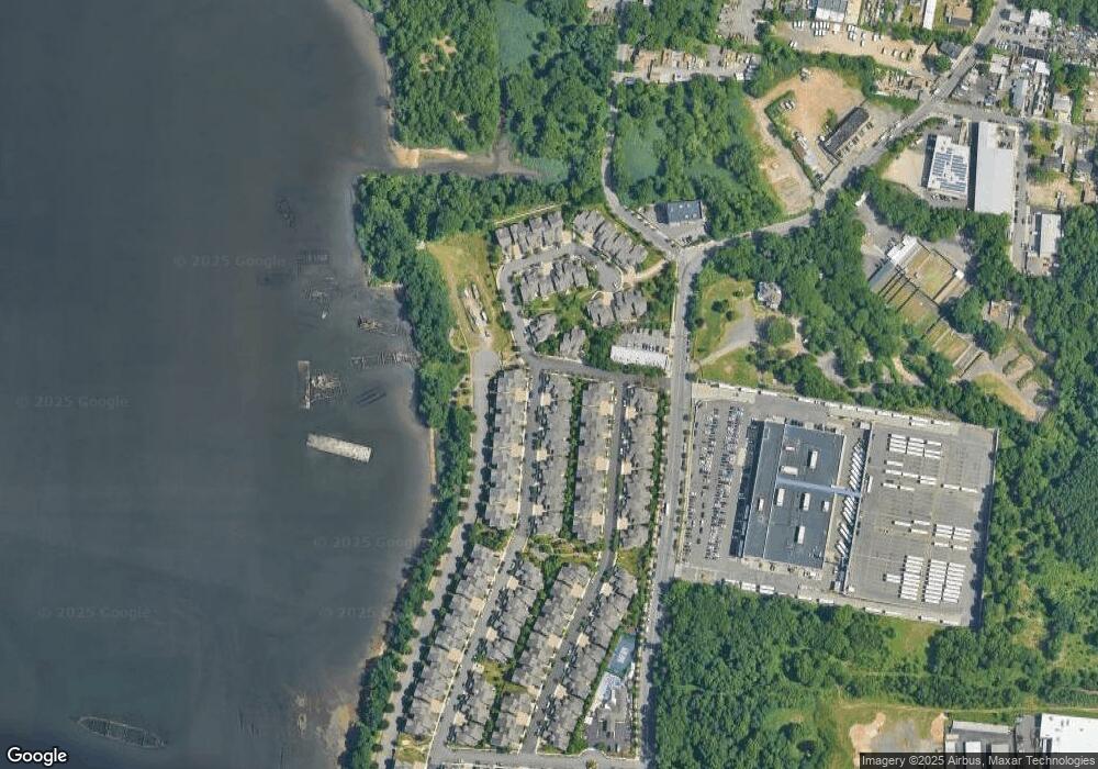
Map
Nearby Homes
- 78 Topside Ln
- 71 Topside Ln
- 68 Tiller Ct
- 66 Pilot Ln
- 54 Kreischer St
- 60 Androvette St
- 62-72 Androvette St
- 0 Winant Place
- 97-99 Englewood Ave
- 4795 Arthur Kill Rd
- 282 Boscombe Ave
- 155 Darnell Ln
- 55 Quail Ln
- 116 Churchill Ave
- 105 Churchill Ave
- 0 Veterans Rd E
- 117 Pembrook Loop
- 33 White Oak Ln
- 75 Churchill Ave
- 476 Hargold Ave