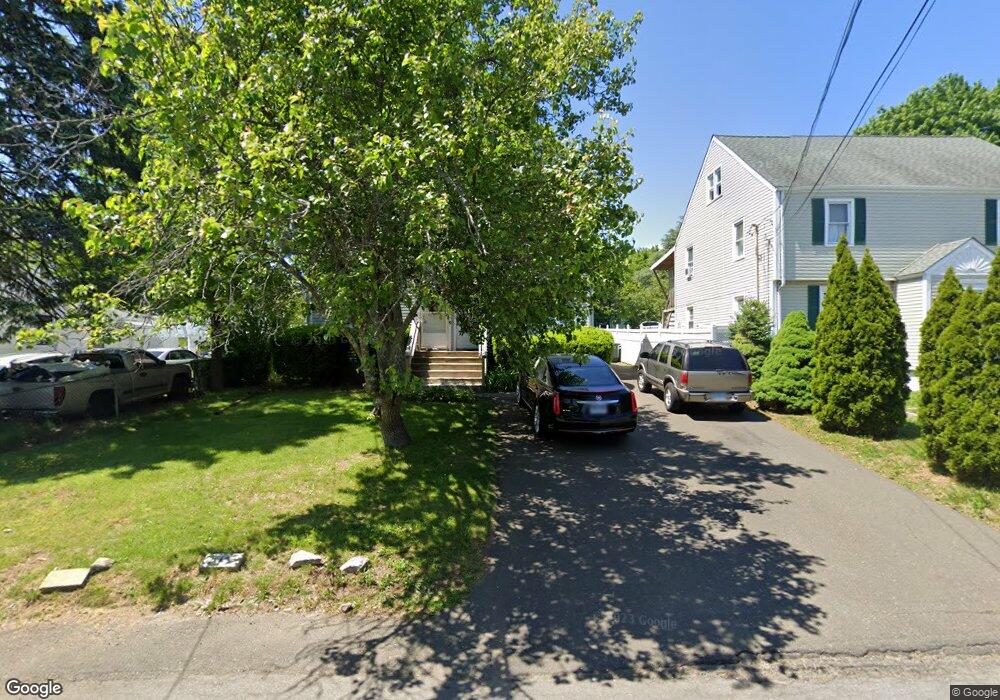
93 Sampson St Bridgeport, CT 06606
Brooklawn-Saint Vincent NeighborhoodEstimated Value: $431,489 - $471,000
4
Beds
2
Baths
1,716
Sq Ft
$266/Sq Ft
Est. Value
About This Home
This home is located at 93 Sampson St, Bridgeport, CT 06606 and is currently estimated at $457,122, approximately $266 per square foot. 93 Sampson St is a home located in Fairfield County with nearby schools including Blackham School, Central High School, and Catholic Academy of Bridgeport-St. Raphael Academy.
Ownership History
Date
Name
Owned For
Owner Type
Purchase Details
Closed on
Mar 11, 2024
Sold by
Urist J B J and Urist Alessandra B
Bought by
Baxter Urist T J and Baxter Urist
Current Estimated Value
Purchase Details
Closed on
Apr 5, 2012
Sold by
Sampson Street Assoc L
Bought by
Urist Axter
Create a Home Valuation Report for This Property
The Home Valuation Report is an in-depth analysis detailing your home's value as well as a comparison with similar homes in the area
Home Values in the Area
Average Home Value in this Area
Purchase History
| Date | Buyer | Sale Price | Title Company |
|---|---|---|---|
| Baxter Urist T J | -- | None Available | |
| Urist Axter | -- | -- | |
| Urist Axter | -- | -- |
Source: Public Records
Tax History Compared to Growth
Tax History
| Year | Tax Paid | Tax Assessment Tax Assessment Total Assessment is a certain percentage of the fair market value that is determined by local assessors to be the total taxable value of land and additions on the property. | Land | Improvement |
|---|---|---|---|---|
| 2025 | $7,491 | $172,410 | $75,310 | $97,100 |
| 2024 | $7,491 | $172,410 | $75,310 | $97,100 |
| 2023 | $7,491 | $172,410 | $75,310 | $97,100 |
| 2022 | $7,491 | $172,410 | $75,310 | $97,100 |
| 2021 | $7,491 | $172,410 | $75,310 | $97,100 |
| 2020 | $6,431 | $119,110 | $39,340 | $79,770 |
| 2019 | $6,431 | $119,110 | $39,340 | $79,770 |
| 2018 | $6,476 | $119,110 | $39,340 | $79,770 |
| 2017 | $6,476 | $119,110 | $39,340 | $79,770 |
| 2016 | $6,476 | $119,110 | $39,340 | $79,770 |
| 2015 | $6,472 | $153,370 | $47,600 | $105,770 |
| 2014 | $6,472 | $153,370 | $47,600 | $105,770 |
Source: Public Records
Map
Nearby Homes
- 201 High Ridge Dr
- 150 Alexander Dr
- 125 Alexander Dr
- 11 Myron Ave
- 241 Sampson St
- 119 Madison Terrace
- 1275 Capitol Ave
- 76 Suburban Ave
- 2625 Park Ave Unit 12L
- 2625 Park Ave Unit 5N
- 2345 Park Ave
- 2445 Park Ave Unit 23
- 203 Wayne St
- 508 Hawley Ave
- 724 Capitol Ave Unit 726
- 2675 Park Ave Unit 3
- 2675 Park Ave Unit 22
- 356 Taft Ave
- 390 Charles St Unit 106
- 31 Taft Ave
- 103 Sampson St
- 105 Sampson St
- 77 Sampson St
- 125 High Ridge Dr Unit 127
- 115 Sampson St
- 127 High Ridge Dr
- 67 Sampson St
- 108 Sampson St
- 107 High Ridge Dr Unit 115
- 88 Sampson St
- 116 Sampson St
- 74 Sampson St
- 141 High Ridge Dr Unit 145
- 99 High Ridge Dr Unit 101
- 135 Sampson St
- 126 Sampson St
- 60 Sampson St
- 122 High Ridge Dr Unit 124
- 91-93 High Ridge Dr
- 41 Sampson St