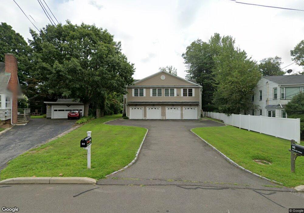
93 Sawyer Rd Fairfield, CT 06824
University NeighborhoodEstimated Value: $829,028 - $1,024,000
4
Beds
3
Baths
2,428
Sq Ft
$378/Sq Ft
Est. Value
About This Home
This home is located at 93 Sawyer Rd, Fairfield, CT 06824 and is currently estimated at $918,507, approximately $378 per square foot. 93 Sawyer Rd is a home located in Fairfield County with nearby schools including Holland Hill Elementary, Fairfield Woods Middle School, and Fairfield Ludlowe High School.
Ownership History
Date
Name
Owned For
Owner Type
Purchase Details
Closed on
Sep 29, 2025
Sold by
Barre Lisa A
Bought by
List Thomas
Current Estimated Value
Purchase Details
Closed on
Jan 21, 2021
Sold by
List Thomas
Bought by
List Thomas
Purchase Details
Closed on
Aug 3, 2007
Sold by
95 Sawyer Road Llc
Bought by
List Thomas A
Home Financials for this Owner
Home Financials are based on the most recent Mortgage that was taken out on this home.
Original Mortgage
$543,200
Interest Rate
6.73%
Mortgage Type
Purchase Money Mortgage
Create a Home Valuation Report for This Property
The Home Valuation Report is an in-depth analysis detailing your home's value as well as a comparison with similar homes in the area
Home Values in the Area
Average Home Value in this Area
Purchase History
| Date | Buyer | Sale Price | Title Company |
|---|---|---|---|
| List Thomas | -- | -- | |
| List Thomas | -- | None Available | |
| List Thomas | -- | None Available | |
| List Thomas A | $679,000 | -- | |
| List Thomas A | $679,000 | -- |
Source: Public Records
Mortgage History
| Date | Status | Borrower | Loan Amount |
|---|---|---|---|
| Previous Owner | List Thomas A | $543,200 | |
| Previous Owner | List Thomas A | $67,000 | |
| Previous Owner | List Thomas A | $10,000 |
Source: Public Records
Tax History
| Year | Tax Paid | Tax Assessment Tax Assessment Total Assessment is a certain percentage of the fair market value that is determined by local assessors to be the total taxable value of land and additions on the property. | Land | Improvement |
|---|---|---|---|---|
| 2025 | $9,634 | $339,360 | $0 | $339,360 |
| 2024 | $9,468 | $339,360 | $0 | $339,360 |
| 2023 | $9,336 | $339,360 | $0 | $339,360 |
| 2022 | $9,244 | $339,360 | $0 | $339,360 |
| 2021 | $9,156 | $339,360 | $0 | $339,360 |
| 2020 | $9,301 | $347,200 | $0 | $347,200 |
| 2019 | $9,301 | $347,200 | $0 | $347,200 |
| 2018 | $9,152 | $347,200 | $0 | $347,200 |
| 2017 | $8,965 | $347,200 | $0 | $347,200 |
| 2016 | $8,836 | $347,200 | $0 | $347,200 |
| 2015 | $8,933 | $360,360 | $0 | $360,360 |
| 2014 | $8,793 | $360,360 | $0 | $360,360 |
Source: Public Records
Map
Nearby Homes
- 143 Sawyer Rd
- 1335 Black Rock Turnpike
- 28 Country Rd
- 219 Oakwood Dr
- 206 Sterling St
- 12 Reynolds Dr
- 53 Sterling St
- 135 Grace St
- 51 Sterling St
- 45 Sterling St
- 47 Sterling St
- 1 Overlook Ave
- 240 Sunnyridge Ave Unit 63
- 198 Castle Ave
- 65 Benton St
- 37 Biro St
- 109 Katona Dr Unit 18
- 302 High St
- 11 Tuckahoe Ln
- 245 Reid St
Your Personal Tour Guide
Ask me questions while you tour the home.