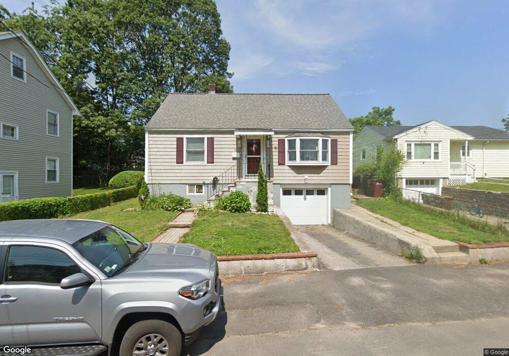
93 Schiller Rd Dedham, MA 02026
East Dedham NeighborhoodEstimated Value: $604,000 - $646,000
2
Beds
1
Bath
1,397
Sq Ft
$445/Sq Ft
Est. Value
About This Home
This home is located at 93 Schiller Rd, Dedham, MA 02026 and is currently estimated at $622,303, approximately $445 per square foot. 93 Schiller Rd is a home located in Norfolk County with nearby schools including Avery, Dedham Middle School, and Dedham High School.
Ownership History
Date
Name
Owned For
Owner Type
Purchase Details
Closed on
Mar 20, 2023
Sold by
Meloski Susan
Bought by
Susan J Meloski Irt
Current Estimated Value
Purchase Details
Closed on
Mar 31, 1995
Sold by
Schiller Road T
Bought by
Meloski Kevin and Meloski Susan
Home Financials for this Owner
Home Financials are based on the most recent Mortgage that was taken out on this home.
Original Mortgage
$103,075
Interest Rate
8.8%
Mortgage Type
Purchase Money Mortgage
Create a Home Valuation Report for This Property
The Home Valuation Report is an in-depth analysis detailing your home's value as well as a comparison with similar homes in the area
Home Values in the Area
Average Home Value in this Area
Purchase History
| Date | Buyer | Sale Price | Title Company |
|---|---|---|---|
| Susan J Meloski Irt | -- | None Available | |
| Meloski Kevin | $108,500 | -- |
Source: Public Records
Mortgage History
| Date | Status | Borrower | Loan Amount |
|---|---|---|---|
| Previous Owner | Meloski Kevin | $115,000 | |
| Previous Owner | Meloski Kevin | $105,500 | |
| Previous Owner | Meloski Kevin | $103,075 |
Source: Public Records
Tax History
| Year | Tax Paid | Tax Assessment Tax Assessment Total Assessment is a certain percentage of the fair market value that is determined by local assessors to be the total taxable value of land and additions on the property. | Land | Improvement |
|---|---|---|---|---|
| 2025 | $6,762 | $535,800 | $250,800 | $285,000 |
| 2024 | $6,830 | $546,400 | $237,500 | $308,900 |
| 2023 | $6,385 | $497,300 | $210,800 | $286,500 |
| 2022 | $6,080 | $455,400 | $206,400 | $249,000 |
| 2021 | $5,663 | $414,300 | $202,000 | $212,300 |
| 2020 | $5,561 | $405,300 | $193,000 | $212,300 |
| 2019 | $5,170 | $365,400 | $167,900 | $197,500 |
| 2018 | $4,992 | $343,100 | $151,400 | $191,700 |
| 2017 | $4,920 | $333,300 | $141,600 | $191,700 |
| 2016 | $4,669 | $301,400 | $123,700 | $177,700 |
| 2015 | $4,318 | $272,100 | $113,700 | $158,400 |
| 2014 | $4,263 | $265,100 | $111,100 | $154,000 |
Source: Public Records
Map
Nearby Homes
- 111 Schiller Rd
- 235 Curve St
- 18 Winter St
- 25 Rockland St Unit 5
- 25R Rockland St Unit 6
- 94 Rockland St
- 5 Cobb Ln
- 4 Mount Hope St
- 42 Churchill Place
- 11 Cheriton Rd Unit 102B
- 8 Cocci Way
- 442 High St
- 108 High St
- 191 Glenellen Rd
- 56 Mount Vernon St
- 2505 Centre St
- 19 Lewis Ln
- 55 Maynard Rd
- 115 Grove St Unit 11
- 75 Bingham Ave