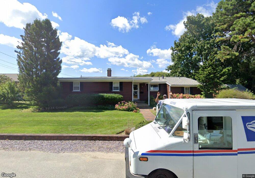
93 Seabrook Rd Hyannis, MA 02601
Estimated Value: $603,000 - $760,000
4
Beds
3
Baths
1,684
Sq Ft
$395/Sq Ft
Est. Value
About This Home
This home is located at 93 Seabrook Rd, Hyannis, MA 02601 and is currently estimated at $664,885, approximately $394 per square foot. 93 Seabrook Rd is a home located in Barnstable County with nearby schools including Hyannis West Elementary School, Barnstable United Elementary School, and Barnstable Intermediate School.
Ownership History
Date
Name
Owned For
Owner Type
Purchase Details
Closed on
Jan 17, 1992
Sold by
Seabrook Rd Nt
Bought by
Pena John A
Current Estimated Value
Home Financials for this Owner
Home Financials are based on the most recent Mortgage that was taken out on this home.
Original Mortgage
$110,900
Interest Rate
8.57%
Mortgage Type
Purchase Money Mortgage
Create a Home Valuation Report for This Property
The Home Valuation Report is an in-depth analysis detailing your home's value as well as a comparison with similar homes in the area
Home Values in the Area
Average Home Value in this Area
Purchase History
| Date | Buyer | Sale Price | Title Company |
|---|---|---|---|
| Pena John A | $123,300 | -- |
Source: Public Records
Mortgage History
| Date | Status | Borrower | Loan Amount |
|---|---|---|---|
| Open | Pena John A | $138,750 | |
| Closed | Pena John A | $10,697 | |
| Closed | Pena John A | $10,262 | |
| Closed | Pena John A | $110,900 |
Source: Public Records
Tax History Compared to Growth
Tax History
| Year | Tax Paid | Tax Assessment Tax Assessment Total Assessment is a certain percentage of the fair market value that is determined by local assessors to be the total taxable value of land and additions on the property. | Land | Improvement |
|---|---|---|---|---|
| 2025 | $5,162 | $556,900 | $152,900 | $404,000 |
| 2024 | $4,961 | $548,200 | $152,900 | $395,300 |
| 2023 | $4,580 | $478,600 | $139,000 | $339,600 |
| 2022 | $4,621 | $399,400 | $103,000 | $296,400 |
| 2021 | $4,279 | $345,900 | $103,000 | $242,900 |
| 2020 | $4,163 | $333,600 | $103,000 | $230,600 |
| 2019 | $3,838 | $305,100 | $103,000 | $202,100 |
| 2018 | $3,702 | $278,300 | $108,400 | $169,900 |
| 2017 | $3,591 | $270,400 | $108,400 | $162,000 |
| 2016 | $3,182 | $271,300 | $109,300 | $162,000 |
| 2015 | $2,994 | $258,800 | $106,000 | $152,800 |
Source: Public Records
Map
Nearby Homes
- 93 Sea St
- 342 Sea St
- 281 Gosnold St
- 24 Betty's Pond Rd Unit 1K
- 24 Bettys Pond Rd Unit K
- 230 Gosnold St Unit 11A-11B-11C
- 230 Gosnold St Unit 11ABC
- 50 Redwood Ln
- 49 Snow Creek Dr
- 113 Briarwood Ave
- 6 Harrington Way
- 112 W Main St Unit 8
- 112 W Main St Unit 7
- 112 W Main St Unit 6
- 112 W Main St Unit 4
- 112 W Main St Unit 5
- 112 W Main St Unit 2
- 112 W Main St Unit 3
- 112 W Main St Unit 1
- 112 W Main St Unit 4
- 85 Seabrook Rd
- 5 Janice Ln
- 77 Seabrook Rd
- 106 Seabrook Rd
- 13 Janice Ln
- 107 Seabrook Rd
- 109 Seabrook Rd Unit 109
- 64 Seabrook Rd
- 64 Seabrook Rd Unit 64/68
- 116 Seabrook Rd
- 14 Janice Ln
- 75 Seabrook Rd
- 90 Woodbury Ave
- 21 Janice Ln
- 71 Seabrook Rd
- 56 Seabrook Rd
- 80 Woodbury Ave
- 80 Woodbury Ave Unit A&B
- 63 Seabrook Rd
- 124 Seabrook Rd