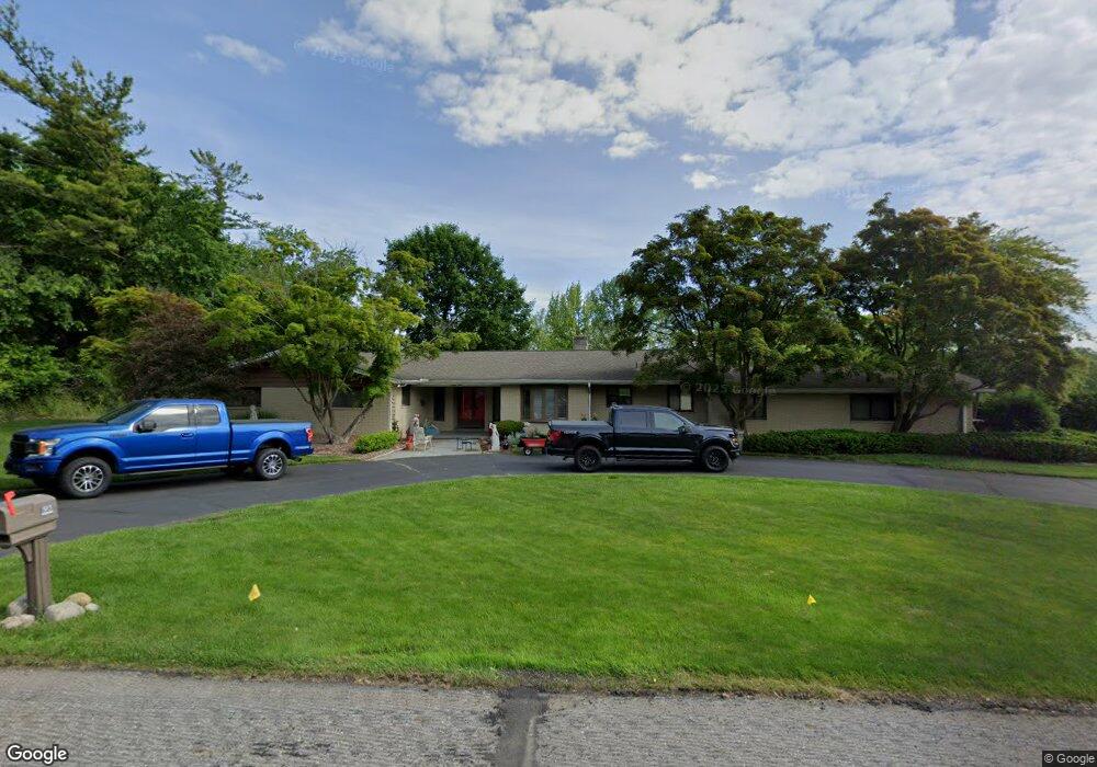
93 Shagbark Dr Rochester Hills, MI 48309
Estimated Value: $501,000 - $620,000
6
Beds
5
Baths
2,932
Sq Ft
$186/Sq Ft
Est. Value
About This Home
This home is located at 93 Shagbark Dr, Rochester Hills, MI 48309 and is currently estimated at $545,017, approximately $185 per square foot. 93 Shagbark Dr is a home located in Oakland County with nearby schools including Long Meadow Elementary School, West Middle School, and Rochester High School.
Ownership History
Date
Name
Owned For
Owner Type
Purchase Details
Closed on
Oct 4, 2024
Sold by
Boyle William F and Boyle Joyce C
Bought by
Boyle Joyce C and Boyle William F
Current Estimated Value
Purchase Details
Closed on
Jul 6, 2016
Sold by
Boyle William F and Boyle Joyce C
Bought by
Boyle William F and Boyle Joyce C
Purchase Details
Closed on
Feb 15, 2007
Sold by
Cragen Lise J and Crossley Nancy E
Bought by
Boyle William F and Boyle Joyce C
Home Financials for this Owner
Home Financials are based on the most recent Mortgage that was taken out on this home.
Original Mortgage
$204,000
Interest Rate
6.27%
Mortgage Type
Purchase Money Mortgage
Purchase Details
Closed on
Sep 23, 2004
Sold by
Cragen Carolyn J and Cragen Jack C
Bought by
Cragen Carolyn J and Cragen Lise J
Create a Home Valuation Report for This Property
The Home Valuation Report is an in-depth analysis detailing your home's value as well as a comparison with similar homes in the area
Home Values in the Area
Average Home Value in this Area
Purchase History
| Date | Buyer | Sale Price | Title Company |
|---|---|---|---|
| Boyle Joyce C | -- | None Listed On Document | |
| Boyle William F | -- | None Listed On Document | |
| Boyle William F | -- | None Available | |
| Boyle William F | $272,000 | Multiple | |
| Cragen Carolyn J | -- | -- |
Source: Public Records
Mortgage History
| Date | Status | Borrower | Loan Amount |
|---|---|---|---|
| Previous Owner | Boyle William F | $204,000 |
Source: Public Records
Tax History Compared to Growth
Tax History
| Year | Tax Paid | Tax Assessment Tax Assessment Total Assessment is a certain percentage of the fair market value that is determined by local assessors to be the total taxable value of land and additions on the property. | Land | Improvement |
|---|---|---|---|---|
| 2022 | $2,338 | $215,460 | $0 | $0 |
| 2018 | $3,872 | $186,500 | $0 | $0 |
| 2017 | $3,796 | $187,460 | $0 | $0 |
| 2015 | -- | $171,470 | $0 | $0 |
| 2014 | -- | $146,520 | $0 | $0 |
| 2011 | -- | $107,640 | $0 | $0 |
Source: Public Records
Map
Nearby Homes
- 184 Shagbark Dr
- 1665 Huntington Park Unit E
- 126 Orchardale Dr
- 448 Streamview Ct
- 73 Nevada Ave
- 2222 Walton Blvd
- 2072 Belle Vernon Dr
- 1390 Chestnut Ln
- 123 Longford Dr
- 100 Longford Dr
- 2270 Walton Blvd
- 2245 Walton Blvd Unit 58
- 51 Manor Way Unit 30
- 2377 Walton Blvd Unit 15
- 65 Stratford Ln
- 147 Stratford Ln Unit 129
- 110 Stratford Ln
- 2152 Avoncrest Dr
- 87 E Maryknoll Rd
- 1111 Walton Blvd