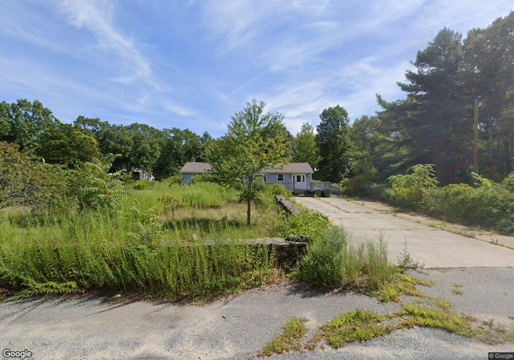
93 Simmons St Rehoboth, MA 02769
Estimated Value: $447,000 - $526,000
3
Beds
1
Bath
1,152
Sq Ft
$413/Sq Ft
Est. Value
About This Home
This home is located at 93 Simmons St, Rehoboth, MA 02769 and is currently estimated at $476,232, approximately $413 per square foot. 93 Simmons St is a home located in Bristol County with nearby schools including Dighton-Rehoboth Regional High School.
Ownership History
Date
Name
Owned For
Owner Type
Purchase Details
Closed on
Apr 30, 2010
Sold by
Saint Annes Cu Of Fall
Bought by
Geary Wayne P
Current Estimated Value
Home Financials for this Owner
Home Financials are based on the most recent Mortgage that was taken out on this home.
Original Mortgage
$141,750
Outstanding Balance
$93,256
Interest Rate
4.99%
Mortgage Type
Purchase Money Mortgage
Estimated Equity
$382,976
Purchase Details
Closed on
Jun 2, 2009
Sold by
Bettencourt David A
Bought by
Saint Annes Cu Fall Ri
Create a Home Valuation Report for This Property
The Home Valuation Report is an in-depth analysis detailing your home's value as well as a comparison with similar homes in the area
Home Values in the Area
Average Home Value in this Area
Purchase History
| Date | Buyer | Sale Price | Title Company |
|---|---|---|---|
| Geary Wayne P | $175,000 | -- | |
| Saint Annes Cu Fall Ri | $200,000 | -- |
Source: Public Records
Mortgage History
| Date | Status | Borrower | Loan Amount |
|---|---|---|---|
| Open | Geary Wayne P | $141,750 |
Source: Public Records
Tax History
| Year | Tax Paid | Tax Assessment Tax Assessment Total Assessment is a certain percentage of the fair market value that is determined by local assessors to be the total taxable value of land and additions on the property. | Land | Improvement |
|---|---|---|---|---|
| 2025 | $40 | $361,800 | $177,500 | $184,300 |
| 2024 | $3,981 | $350,400 | $177,500 | $172,900 |
| 2023 | $3,899 | $336,700 | $173,900 | $162,800 |
| 2022 | $3,945 | $311,400 | $173,900 | $137,500 |
| 2021 | $3,823 | $297,100 | $166,100 | $131,000 |
| 2020 | $3,776 | $287,800 | $166,100 | $121,700 |
| 2018 | $3,319 | $277,300 | $158,300 | $119,000 |
| 2017 | $3,181 | $253,300 | $158,300 | $95,000 |
| 2016 | $3,109 | $255,900 | $158,300 | $97,600 |
| 2015 | $3,025 | $245,700 | $151,100 | $94,600 |
| 2014 | $2,967 | $238,500 | $143,900 | $94,600 |
Source: Public Records
Map
Nearby Homes
- 19 Cedar St Unit 21
- 2188 Cedar St
- 46 Mikayla Ann Dr
- 2625 Lewis St
- 185 Moulton St
- 2713 Horton St
- 2681 Courtlyn Rd
- 2206 Williams St
- 42 Linden Ln
- 0 Wellington St
- 8 Linden Ln
- 8 Linden Ln
- 0 Horton St Unit 73333337
- 47 Spring St
- 16 Martin St
- 67 Martin St
- 75 Martin St
- 197 Chestnut St
- 2944 Anderson Dr
- 74R Club House Dr Unit 74R
Your Personal Tour Guide
Ask me questions while you tour the home.