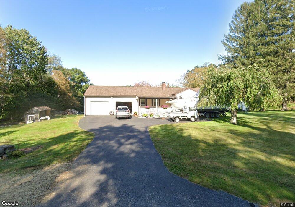
93 Slade Rd Ashford, CT 06278
Estimated Value: $346,250 - $367,000
3
Beds
1
Bath
1,626
Sq Ft
$221/Sq Ft
Est. Value
About This Home
This home is located at 93 Slade Rd, Ashford, CT 06278 and is currently estimated at $359,063, approximately $220 per square foot. 93 Slade Rd is a home located in Windham County with nearby schools including Ashford School and E.O. Smith High School.
Ownership History
Date
Name
Owned For
Owner Type
Purchase Details
Closed on
Feb 18, 2021
Sold by
Freeman Anna M
Bought by
Littlell Tracie L and Littell Richard M
Current Estimated Value
Home Financials for this Owner
Home Financials are based on the most recent Mortgage that was taken out on this home.
Original Mortgage
$192,000
Outstanding Balance
$171,723
Interest Rate
2.7%
Mortgage Type
Purchase Money Mortgage
Estimated Equity
$187,340
Purchase Details
Closed on
Dec 20, 1985
Bought by
Freeman Ronald D and Freeman Anna M
Create a Home Valuation Report for This Property
The Home Valuation Report is an in-depth analysis detailing your home's value as well as a comparison with similar homes in the area
Home Values in the Area
Average Home Value in this Area
Purchase History
| Date | Buyer | Sale Price | Title Company |
|---|---|---|---|
| Littlell Tracie L | $240,000 | None Available | |
| Littlell Tracie L | $240,000 | None Available | |
| Freeman Ronald D | -- | -- |
Source: Public Records
Mortgage History
| Date | Status | Borrower | Loan Amount |
|---|---|---|---|
| Open | Littlell Tracie L | $192,000 | |
| Closed | Littlell Tracie L | $192,000 | |
| Previous Owner | Freeman Ronald D | $80,000 | |
| Previous Owner | Freeman Ronald D | $90,000 | |
| Previous Owner | Freeman Ronald D | $90,000 |
Source: Public Records
Tax History
| Year | Tax Paid | Tax Assessment Tax Assessment Total Assessment is a certain percentage of the fair market value that is determined by local assessors to be the total taxable value of land and additions on the property. | Land | Improvement |
|---|---|---|---|---|
| 2025 | $5,888 | $161,840 | $52,360 | $109,480 |
| 2024 | $5,561 | $161,840 | $52,360 | $109,480 |
| 2023 | $5,355 | $161,840 | $52,360 | $109,480 |
| 2022 | $5,223 | $161,840 | $52,360 | $109,480 |
| 2021 | $5,026 | $138,200 | $49,900 | $88,300 |
| 2020 | $5,091 | $138,200 | $49,900 | $88,300 |
| 2019 | $4,901 | $138,200 | $49,900 | $88,300 |
| 2018 | $4,805 | $138,200 | $49,900 | $88,300 |
| 2017 | $4,750 | $138,200 | $49,900 | $88,300 |
| 2016 | $4,826 | $149,100 | $61,000 | $88,100 |
| 2015 | $4,914 | $149,100 | $61,000 | $88,100 |
| 2014 | $4,795 | $149,100 | $61,000 | $88,100 |
Source: Public Records
Map
Nearby Homes
- 66 Bebbington Rd
- 133 Fitts Rd
- 102 Krapf Rd
- 81 Floeting Rd
- 21 Westview Dr
- 483 North Rd
- 7 Nahaco Hill Ln
- 123 Ashford Rd Unit 1
- 113 Ashford Rd Unit 113
- 64 Westford Rd
- 0 Summit Rd
- 89 John Perry Rd
- 22 Westford Rd
- 0 Kozey Rd
- 261 Old Colony Rd
- 5 Nahaco Hill Ln
- 41 Millbridge Rd
- 144 Hnath Rd
- 0 Boston Turnpike
- 21 Fermier Rd
Your Personal Tour Guide
Ask me questions while you tour the home.