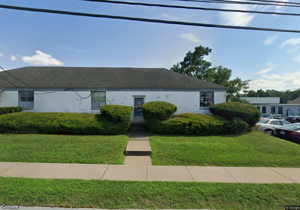
93 Talcott Rd West Hartford, CT 06110
Estimated Value: $566,041
--
Bed
1
Bath
7,138
Sq Ft
$79/Sq Ft
Est. Value
About This Home
This home is located at 93 Talcott Rd, West Hartford, CT 06110 and is currently estimated at $566,041, approximately $79 per square foot. 93 Talcott Rd is a home located in Hartford County with nearby schools including Charter Oak International Academy, Sedgwick Middle School, and Conard High School.
Ownership History
Date
Name
Owned For
Owner Type
Purchase Details
Closed on
Aug 21, 2014
Sold by
Anderson Assoc
Bought by
93 Talcott Road Llc
Current Estimated Value
Home Financials for this Owner
Home Financials are based on the most recent Mortgage that was taken out on this home.
Original Mortgage
$212,100
Outstanding Balance
$161,907
Interest Rate
4.14%
Mortgage Type
Commercial
Estimated Equity
$404,134
Create a Home Valuation Report for This Property
The Home Valuation Report is an in-depth analysis detailing your home's value as well as a comparison with similar homes in the area
Home Values in the Area
Average Home Value in this Area
Purchase History
| Date | Buyer | Sale Price | Title Company |
|---|---|---|---|
| 93 Talcott Road Llc | $300,000 | -- |
Source: Public Records
Mortgage History
| Date | Status | Borrower | Loan Amount |
|---|---|---|---|
| Open | 93 Talcott Road Llc | $212,100 |
Source: Public Records
Tax History Compared to Growth
Tax History
| Year | Tax Paid | Tax Assessment Tax Assessment Total Assessment is a certain percentage of the fair market value that is determined by local assessors to be the total taxable value of land and additions on the property. | Land | Improvement |
|---|---|---|---|---|
| 2025 | $10,394 | $232,120 | $71,190 | $160,930 |
| 2024 | $9,830 | $232,120 | $71,190 | $160,930 |
| 2023 | $9,498 | $232,120 | $71,190 | $160,930 |
| 2022 | $9,443 | $232,120 | $71,190 | $160,930 |
| 2021 | $8,635 | $203,560 | $46,340 | $157,220 |
| 2020 | $8,512 | $203,630 | $46,410 | $157,220 |
| 2019 | $8,512 | $203,630 | $46,410 | $157,220 |
| 2018 | $8,349 | $203,630 | $46,410 | $157,220 |
| 2017 | $8,357 | $203,630 | $46,410 | $157,220 |
| 2016 | $7,821 | $197,960 | $40,530 | $157,430 |
| 2015 | $7,584 | $197,960 | $40,530 | $157,430 |
| 2014 | $7,398 | $197,960 | $40,530 | $157,430 |
Source: Public Records
Map
Nearby Homes
- 204 Trout Brook Dr
- 741 Quaker Ln S
- 17 Parkview Rd
- 90 Park Place Cir Unit 90
- 49 Park Place Cir Unit 49
- 1145 New Britain Ave
- 41 Page Ave
- 394 Trout Brook Dr
- 39 Cortland St
- 937 New Britain Ave
- 101 Englewood Ave
- 49 Somerset St
- 121 Cambridge St
- 61 Wilbur St
- 5 Brinley Ave
- 93 Stanwood St
- 69 Saint Augustine St
- 90 Meriline Ave
- 61 Colonial St
- 26 Saint Augustine St
- 10 Grassmere Ave
- 14 Grassmere Ave
- 10 Grassmere Ave
- 69 Talcott Rd
- 31 Grassmere Ave Unit 31
- 120 Talcott Rd
- 121 Talcott Rd
- 38 Grassmere Ave
- 41 Grassmere Ave
- 128 Talcott Rd
- 137 Talcott Rd
- 132 Talcott Rd
- 18 Fenwood Ave
- 22 Fenwood Ave
- 136 Talcott Rd
- 26 Fenwood Ave
- 49 Grassmere Ave
- 6 Fenwood Ave
- 30 Fenwood Ave
- 140 Talcott Rd