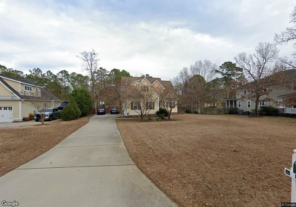
93 Thornton Dr Hampstead, NC 28443
Estimated Value: $505,632 - $575,000
3
Beds
3
Baths
2,318
Sq Ft
$230/Sq Ft
Est. Value
About This Home
This home is located at 93 Thornton Dr, Hampstead, NC 28443 and is currently estimated at $532,408, approximately $229 per square foot. 93 Thornton Dr is a home located in Pender County with nearby schools including South Topsail Elementary School, Topsail Middle School, and Topsail High School.
Ownership History
Date
Name
Owned For
Owner Type
Purchase Details
Closed on
Oct 5, 2010
Sold by
Genesis Living Inc
Bought by
Depaor Liam Ruan and Depaor Michelle Ann
Current Estimated Value
Home Financials for this Owner
Home Financials are based on the most recent Mortgage that was taken out on this home.
Original Mortgage
$185,000
Outstanding Balance
$122,515
Interest Rate
4.42%
Mortgage Type
New Conventional
Estimated Equity
$409,893
Purchase Details
Closed on
Dec 11, 2009
Sold by
Graystone Of Pender Llc
Bought by
Reeves Jeremiah B
Home Financials for this Owner
Home Financials are based on the most recent Mortgage that was taken out on this home.
Original Mortgage
$225,900
Interest Rate
5.01%
Mortgage Type
Credit Line Revolving
Create a Home Valuation Report for This Property
The Home Valuation Report is an in-depth analysis detailing your home's value as well as a comparison with similar homes in the area
Home Values in the Area
Average Home Value in this Area
Purchase History
| Date | Buyer | Sale Price | Title Company |
|---|---|---|---|
| Depaor Liam Ruan | $255,000 | -- | |
| Genesis Living Inc | $55,000 | -- | |
| Reeves Jeremiah B | $51,000 | -- |
Source: Public Records
Mortgage History
| Date | Status | Borrower | Loan Amount |
|---|---|---|---|
| Open | Depaor Liam Ruan | $185,000 | |
| Previous Owner | Reeves Jeremiah B | $225,900 |
Source: Public Records
Tax History Compared to Growth
Tax History
| Year | Tax Paid | Tax Assessment Tax Assessment Total Assessment is a certain percentage of the fair market value that is determined by local assessors to be the total taxable value of land and additions on the property. | Land | Improvement |
|---|---|---|---|---|
| 2024 | $2,894 | $291,202 | $74,597 | $216,605 |
| 2023 | $2,894 | $291,202 | $74,597 | $216,605 |
| 2022 | $2,644 | $291,202 | $74,597 | $216,605 |
| 2021 | $2,644 | $291,202 | $74,597 | $216,605 |
| 2020 | $2,644 | $291,202 | $74,597 | $216,605 |
| 2019 | $2,644 | $291,202 | $74,597 | $216,605 |
| 2018 | $2,424 | $252,553 | $63,000 | $189,553 |
| 2017 | $2,424 | $252,553 | $63,000 | $189,553 |
| 2016 | $2,288 | $252,553 | $63,000 | $189,553 |
| 2015 | $2,270 | $252,553 | $63,000 | $189,553 |
| 2014 | $1,777 | $252,553 | $63,000 | $189,553 |
| 2013 | -- | $252,553 | $63,000 | $189,553 |
| 2012 | -- | $252,553 | $63,000 | $189,553 |
Source: Public Records
Map
Nearby Homes
- 522 Hughes Rd
- 76 Hughes Rd
- 613 Hughes Rd
- 408 Headwaters Dr
- 75 Twisted Oak Ct
- 802 Sound View Dr
- 47 Thomas Ln
- 107 Overlook Dr
- 648 Hughes Rd
- 1031 Washington Acres Rd
- 444 E Creekview Dr
- 80 Rice Flat Bay St
- 119 Waters Edge
- 195 Camelot Way
- 127 Headwaters Dr
- 33 Medina Ct
- Lot 142 N Line
- 703 Baby Doe Cir
- 131 Turner Way
- 107 Weir Dr
- 77 Thornton Dr
- 111 Thornton Dr
- L17 Thornton Dr
- 16 Thornton Dr
- 15 Lot Thornton Dr
- 14 Lot Thornton Dr
- 11 Lot Thornton Dr
- 10 Lot Thornton Dr
- 7 Lot Thornton Dr
- 22 Thornton Dr
- 21 Thornton Dr
- 20 Thornton Dr
- 19 Thornton Dr
- 15 Thornton Dr
- 13 Thornton Dr
- 14 Thornton Dr
- 12 Thornton Dr
- 11 Thornton Dr
- 10 Thornton Dr
- 2 Thornton Dr