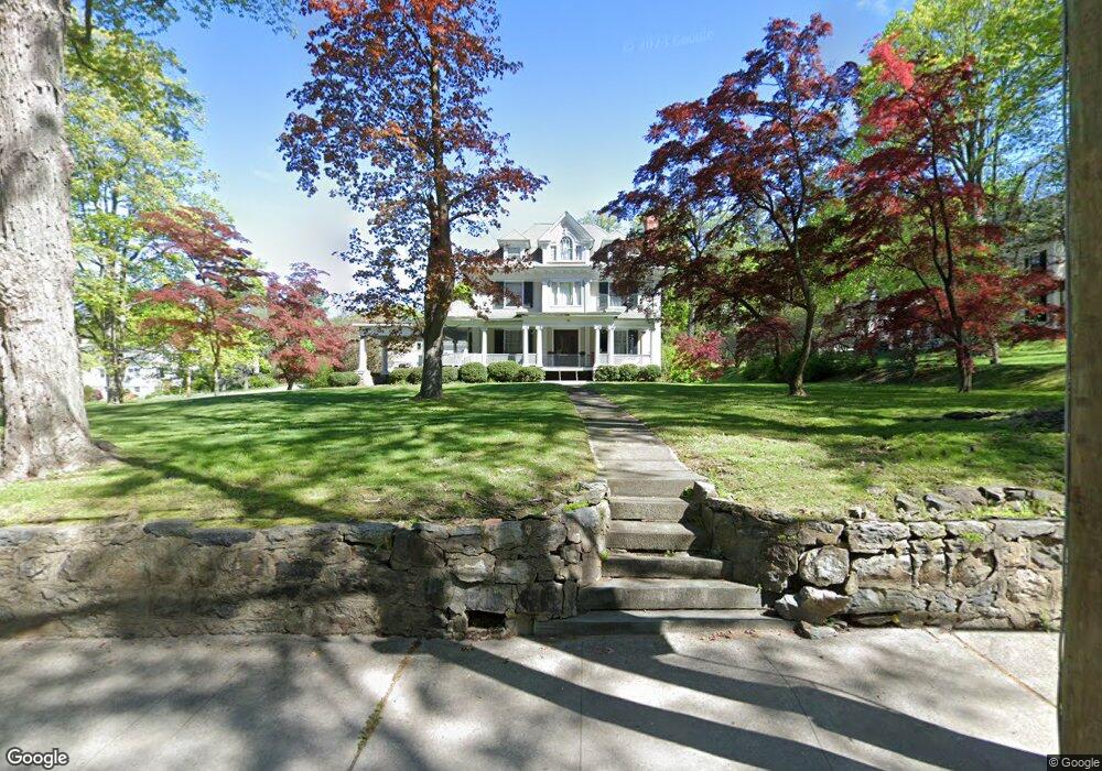
93 W Main St Mount Kisco, NY 10549
Estimated Value: $1,382,000 - $1,664,126
6
Beds
3
Baths
4,892
Sq Ft
$319/Sq Ft
Est. Value
About This Home
This home is located at 93 W Main St, Mount Kisco, NY 10549 and is currently estimated at $1,558,282, approximately $318 per square foot. 93 W Main St is a home located in Westchester County with nearby schools including Mount Kisco Elementary School, Fox Lane Middle School, and Fox Lane High School.
Ownership History
Date
Name
Owned For
Owner Type
Purchase Details
Closed on
Jul 17, 2002
Sold by
Mclaughlin Kerry Caufield
Bought by
Hartleben Bruce G and Voda Mary L
Current Estimated Value
Home Financials for this Owner
Home Financials are based on the most recent Mortgage that was taken out on this home.
Original Mortgage
$584,000
Interest Rate
6.3%
Mortgage Type
Purchase Money Mortgage
Purchase Details
Closed on
Feb 8, 2000
Sold by
Mclaughlin John R
Bought by
Mclaughlin Kerry Caufield
Create a Home Valuation Report for This Property
The Home Valuation Report is an in-depth analysis detailing your home's value as well as a comparison with similar homes in the area
Home Values in the Area
Average Home Value in this Area
Purchase History
| Date | Buyer | Sale Price | Title Company |
|---|---|---|---|
| Hartleben Bruce G | $730,000 | Lawyers Title Insurance Corp | |
| Mclaughlin Kerry Caufield | -- | -- |
Source: Public Records
Mortgage History
| Date | Status | Borrower | Loan Amount |
|---|---|---|---|
| Previous Owner | Hartleben Bruce G | $584,000 |
Source: Public Records
Tax History Compared to Growth
Tax History
| Year | Tax Paid | Tax Assessment Tax Assessment Total Assessment is a certain percentage of the fair market value that is determined by local assessors to be the total taxable value of land and additions on the property. | Land | Improvement |
|---|---|---|---|---|
| 2024 | $15,755 | $107,000 | $26,000 | $81,000 |
| 2023 | $15,484 | $107,000 | $26,000 | $81,000 |
| 2022 | $10,226 | $107,000 | $26,000 | $81,000 |
| 2021 | $13,120 | $107,000 | $26,000 | $81,000 |
| 2020 | $15,850 | $107,000 | $26,000 | $81,000 |
| 2019 | $21,871 | $107,000 | $26,000 | $81,000 |
| 2018 | $3,815 | $107,000 | $26,000 | $81,000 |
| 2017 | $3,727 | $107,000 | $26,000 | $81,000 |
| 2016 | $13,120 | $107,000 | $26,000 | $81,000 |
| 2015 | -- | $107,000 | $26,000 | $81,000 |
| 2014 | -- | $107,000 | $26,000 | $81,000 |
| 2013 | -- | $107,000 | $26,000 | $81,000 |
Source: Public Records
Map
Nearby Homes
- 17 Mountain Ave
- 67 Carpenter Ave Unit B
- 47 Carpenter Ave Unit A
- 35 Stewart Place Unit 204A
- 25 Stewart Place Unit 514
- 200 Diplomat Dr Unit 8B
- 29 Carpenter Ave Unit 4A
- 100 Diplomat Dr Unit 7A
- 100 Diplomat Dr Unit 4B
- 100 Diplomat Dr Unit 3J
- 24 Beverly Rd
- 25 Barker St Unit 512
- 2 Cerf Ln
- 50 Barker St Unit 535
- 3306 Victoria Dr
- 903 Kensington Way
- 218 Croton Ave
- 62 Pines Bridge Rd
- 199 Grove St
- 3 West St
- 0 Hillside Ave
- 81 W Main St
- 91 Hillside Ave Unit 89
- 14 Sands St
- 89-91 Hillside Ave
- 89 Hillside Ave Unit 91
- 22 Sands St
- 90 W Main St
- 28 Sands St
- 83 Hillside Ave
- 100 W Main St
- 37 Sands St
- 20 Manchester Dr
- 77 Hillside Ave
- 70 W Main St Unit 1
- 70 W Main St Unit 2
- 70 W Main St
- 6 Marion Ave
- 133 W Main St
- 38 Sands St