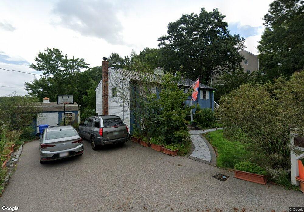
93 Walnut Rd Wrentham, MA 02093
Estimated Value: $556,000 - $864,000
2
Beds
2
Baths
1,498
Sq Ft
$431/Sq Ft
Est. Value
About This Home
This home is located at 93 Walnut Rd, Wrentham, MA 02093 and is currently estimated at $645,435, approximately $430 per square foot. 93 Walnut Rd is a home located in Norfolk County with nearby schools including Delaney Elementary School, Charles E Roderick, and The Sage School.
Ownership History
Date
Name
Owned For
Owner Type
Purchase Details
Closed on
Aug 28, 2003
Sold by
Loturco Patricia
Bought by
Berquist John T
Current Estimated Value
Home Financials for this Owner
Home Financials are based on the most recent Mortgage that was taken out on this home.
Original Mortgage
$322,700
Outstanding Balance
$144,016
Interest Rate
5.69%
Mortgage Type
Purchase Money Mortgage
Estimated Equity
$501,419
Purchase Details
Closed on
May 22, 1991
Sold by
Marksteiner Wm K and Marksteiner Regina
Bought by
Loturco Patricia
Home Financials for this Owner
Home Financials are based on the most recent Mortgage that was taken out on this home.
Original Mortgage
$101,200
Interest Rate
9.36%
Mortgage Type
Purchase Money Mortgage
Create a Home Valuation Report for This Property
The Home Valuation Report is an in-depth analysis detailing your home's value as well as a comparison with similar homes in the area
Purchase History
| Date | Buyer | Sale Price | Title Company |
|---|---|---|---|
| Berquist John T | $440,000 | -- | |
| Loturco Patricia | $130,000 | -- |
Source: Public Records
Mortgage History
| Date | Status | Borrower | Loan Amount |
|---|---|---|---|
| Open | Berquist John T | $322,700 | |
| Previous Owner | Loturco Patricia | $86,500 | |
| Previous Owner | Loturco Patricia | $104,000 | |
| Previous Owner | Loturco Patricia | $101,200 |
Source: Public Records
Tax History
| Year | Tax Paid | Tax Assessment Tax Assessment Total Assessment is a certain percentage of the fair market value that is determined by local assessors to be the total taxable value of land and additions on the property. | Land | Improvement |
|---|---|---|---|---|
| 2025 | $5,865 | $506,000 | $301,700 | $204,300 |
| 2024 | $5,712 | $476,000 | $313,800 | $162,200 |
| 2023 | $5,400 | $427,900 | $285,200 | $142,700 |
| 2022 | $5,219 | $381,800 | $259,200 | $122,600 |
| 2021 | $4,948 | $351,700 | $259,200 | $92,500 |
| 2020 | $4,988 | $350,000 | $213,100 | $136,900 |
| 2019 | $4,825 | $341,700 | $213,100 | $128,600 |
| 2018 | $4,911 | $344,900 | $213,000 | $131,900 |
| 2017 | $4,660 | $327,000 | $208,900 | $118,100 |
| 2016 | $4,552 | $318,800 | $202,900 | $115,900 |
| 2015 | $4,466 | $298,100 | $195,000 | $103,100 |
| 2014 | $4,394 | $287,000 | $187,600 | $99,400 |
Source: Public Records
Map
Nearby Homes
- 246 Forest Grove Ave
- 0 W Birch Rd
- 8 Ridgefield Rd
- 45 Joshua Rd
- 11 Weber Farm Rd Unit 11
- 8 Weber Farm Rd Unit 8
- 1 Weber Farm Rd Unit 1
- 30 Weber Farm Rd Unit 30
- 50 Reed Fulton Ave Unit Lot 61
- 576 Dedham St
- 500 Franklin St
- 10 Nature View Dr
- 15 Nature View Dr
- 11 Sharon Ave
- 9 Sharon Ave
- 23 Fredrickson Rd
- 135 Creek St Unit 2
- 19 Waites Crossing
- 28 Waites Crossing
- 13 Waites Crossing
Your Personal Tour Guide
Ask me questions while you tour the home.