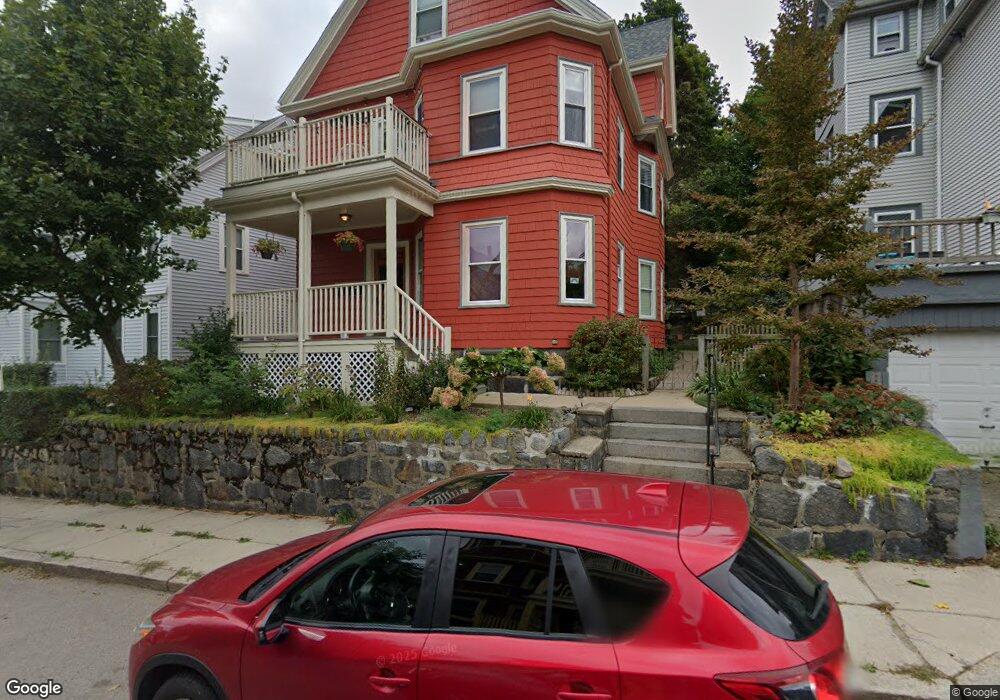
93 Wenham St Unit 3 Jamaica Plain, MA 02130
Jamaica Plain NeighborhoodEstimated Value: $598,000 - $638,000
2
Beds
1
Bath
1,000
Sq Ft
$622/Sq Ft
Est. Value
About This Home
This home is located at 93 Wenham St Unit 3, Jamaica Plain, MA 02130 and is currently estimated at $621,815, approximately $621 per square foot. 93 Wenham St Unit 3 is a home located in Suffolk County with nearby schools including The Croft School - Jamaica Plain.
Ownership History
Date
Name
Owned For
Owner Type
Purchase Details
Closed on
Oct 4, 2005
Sold by
Swank Lance
Bought by
Franklin S C
Current Estimated Value
Home Financials for this Owner
Home Financials are based on the most recent Mortgage that was taken out on this home.
Original Mortgage
$279,920
Outstanding Balance
$150,581
Interest Rate
5.84%
Mortgage Type
Purchase Money Mortgage
Estimated Equity
$471,234
Create a Home Valuation Report for This Property
The Home Valuation Report is an in-depth analysis detailing your home's value as well as a comparison with similar homes in the area
Home Values in the Area
Average Home Value in this Area
Purchase History
| Date | Buyer | Sale Price | Title Company |
|---|---|---|---|
| Franklin S C | $349,900 | -- |
Source: Public Records
Mortgage History
| Date | Status | Borrower | Loan Amount |
|---|---|---|---|
| Open | Franklin S C | $279,920 |
Source: Public Records
Tax History Compared to Growth
Tax History
| Year | Tax Paid | Tax Assessment Tax Assessment Total Assessment is a certain percentage of the fair market value that is determined by local assessors to be the total taxable value of land and additions on the property. | Land | Improvement |
|---|---|---|---|---|
| 2025 | $6,048 | $522,300 | $0 | $522,300 |
| 2024 | $5,329 | $488,900 | $0 | $488,900 |
| 2023 | $4,998 | $465,400 | $0 | $465,400 |
| 2022 | $4,777 | $439,100 | $0 | $439,100 |
| 2021 | $4,462 | $418,200 | $0 | $418,200 |
| 2020 | $4,245 | $402,000 | $0 | $402,000 |
| 2019 | $4,073 | $386,400 | $0 | $386,400 |
| 2018 | $3,932 | $375,200 | $0 | $375,200 |
| 2017 | $3,749 | $354,000 | $0 | $354,000 |
| 2016 | $3,640 | $330,900 | $0 | $330,900 |
| 2015 | $3,870 | $319,600 | $0 | $319,600 |
| 2014 | $3,792 | $301,400 | $0 | $301,400 |
Source: Public Records
Map
Nearby Homes
- 64 Hyde Park Ave Unit 3
- 58 Weld Hill St Unit 2
- 26 Tower St
- 143-171 Hyde Park Ave Unit 169A
- 178 Hyde Park Ave Unit 3
- 140 Wachusett St
- 1 Catenaccia Way Unit 47
- 158 Wachusett St Unit 3
- 31 Rodman St Unit 2
- 31 Rodman St Unit 1
- 5 Hampstead Ln Unit 1
- 156A South St Unit 1L
- 5 View South Ave Unit 1
- 41 Brookley Rd Unit 2
- 9-11 Boynton St Unit 2
- 18-20 Northbourne Rd Unit 18
- 96 Jamaica St
- 3531 Washington St Unit 316
- 3531 Washington St Unit 411
- 3531 Washington St Unit 419
- 93 Wenham St Unit 1
- 31 Weld Hill St
- 89 Wenham St
- 39 Weld Hill St
- 37 Weld Hill St Unit 3
- 37 Weld Hill St Unit 2
- 37 Weld Hill St Unit 1
- 85 Wenham St
- 96 Wenham St
- 96 Wenham St
- 94 Wenham St Unit 96
- 94 Wenham St Unit 1
- 2 Hillside Ave Unit 3
- 2 Hillside Ave
- 2 Hillside Ave Unit 1
- 94-96 Wenham St
- 90 Wenham St Unit 90 Wenham St., 3
- 90 Wenham St
- 90 Wenham St Unit 1
- 90 Wenham St Unit 3