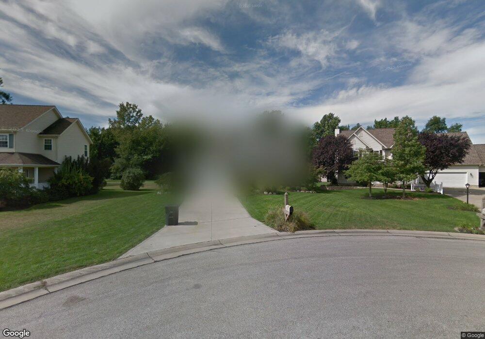
93 Whitmore Ct Painesville, OH 44077
Estimated Value: $328,000 - $408,000
4
Beds
3
Baths
1,449
Sq Ft
$253/Sq Ft
Est. Value
About This Home
This home is located at 93 Whitmore Ct, Painesville, OH 44077 and is currently estimated at $366,670, approximately $253 per square foot. 93 Whitmore Ct is a home located in Lake County with nearby schools including Henry F. Lamuth Middle School, Riverside Junior/Senior High School, and Summit Academy Community School - Painesville.
Ownership History
Date
Name
Owned For
Owner Type
Purchase Details
Closed on
Aug 26, 2003
Sold by
Little Mountain Homes Inc
Bought by
Cornwell Peter A and Cornwell Kelly A
Current Estimated Value
Home Financials for this Owner
Home Financials are based on the most recent Mortgage that was taken out on this home.
Original Mortgage
$203,200
Interest Rate
5%
Mortgage Type
Purchase Money Mortgage
Create a Home Valuation Report for This Property
The Home Valuation Report is an in-depth analysis detailing your home's value as well as a comparison with similar homes in the area
Home Values in the Area
Average Home Value in this Area
Purchase History
| Date | Buyer | Sale Price | Title Company |
|---|---|---|---|
| Cornwell Peter A | $254,000 | Commonwealth Land Title |
Source: Public Records
Mortgage History
| Date | Status | Borrower | Loan Amount |
|---|---|---|---|
| Previous Owner | Cornwell Peter A | $203,200 | |
| Closed | Cornwell Peter A | $25,400 |
Source: Public Records
Tax History Compared to Growth
Tax History
| Year | Tax Paid | Tax Assessment Tax Assessment Total Assessment is a certain percentage of the fair market value that is determined by local assessors to be the total taxable value of land and additions on the property. | Land | Improvement |
|---|---|---|---|---|
| 2024 | -- | $113,680 | $26,820 | $86,860 |
| 2023 | $6,415 | $107,380 | $21,430 | $85,950 |
| 2022 | $6,258 | $107,380 | $21,430 | $85,950 |
| 2021 | $6,281 | $107,380 | $21,430 | $85,950 |
| 2020 | $6,186 | $93,370 | $18,630 | $74,740 |
| 2019 | $6,234 | $93,370 | $18,630 | $74,740 |
| 2018 | $5,897 | $80,280 | $16,770 | $63,510 |
| 2017 | $5,542 | $80,280 | $16,770 | $63,510 |
| 2016 | $4,876 | $80,280 | $16,770 | $63,510 |
| 2015 | $4,595 | $80,280 | $16,770 | $63,510 |
| 2014 | $4,670 | $80,280 | $16,770 | $63,510 |
| 2013 | $4,564 | $80,280 | $16,770 | $63,510 |
Source: Public Records
Map
Nearby Homes
- 55 Grove Ave
- 44 Grove Ave
- 1172 Dalton Dr
- 1182 Dalton Dr
- 104 Overlook Rd
- 85 Nelmar Dr
- 302 Maplebrook Dr Unit 302
- 48 Nelmar Dr
- 238 Radley Dr
- 54 Park Rd
- 193 Steele Ave
- 1627 Cottontail Ct Unit 9
- 396 Park Rd
- 65 Tanners Farm Dr
- 1160 Riverside Dr
- 67 Tanners Farm Dr
- 43 Bristol Ave
- 498 Bank St
- 33 Bryn Mawr Dr
- 728 Bowhall Rd
- 85 Whitmore Ct
- 107 Whitmore Ct
- 77 Whitmore Ct
- 113 Whitmore Ct
- 71 Whitmore Ct
- 118 Whitmore Ct
- 110 Whitmore Ct
- 88 Whitmore Ct
- 65 Whitmore Ct
- 80 Whitmore Ct
- 102 Whitmore Ct
- 74 Whitmore Ct
- 57 Whitmore Ct
- 68 Whitmore Ct
- 51 Whitmore Ct
- 58 Whitmore Ct
- 100 Bellmore St
- 90 Bellmore St
- 88 Bellmore St
- 47 Whitmore Ct