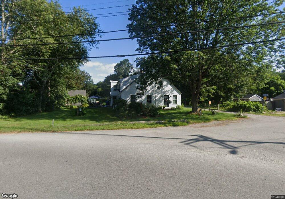
93 Wing Rd Acushnet, MA 02743
Upper Acushnet NeighborhoodEstimated Value: $485,036 - $541,000
Studio
3
Baths
2,290
Sq Ft
$220/Sq Ft
Est. Value
About This Home
This home is located at 93 Wing Rd, Acushnet, MA 02743 and is currently estimated at $504,759, approximately $220 per square foot. 93 Wing Rd is a home located in Bristol County with nearby schools including Acushnet Elementary School, Albert F Ford Middle School, and Alma Del Mar Charter School.
Ownership History
Date
Name
Owned For
Owner Type
Purchase Details
Closed on
Dec 7, 2007
Sold by
Orlowski Thomas H
Bought by
Thomas H Orlowski Ret and Orlowski
Current Estimated Value
Purchase Details
Closed on
Oct 12, 2006
Sold by
Orlowski Peter J
Bought by
Orlowski Thomas H
Create a Home Valuation Report for This Property
The Home Valuation Report is an in-depth analysis detailing your home's value as well as a comparison with similar homes in the area
Home Values in the Area
Average Home Value in this Area
Purchase History
| Date | Buyer | Sale Price | Title Company |
|---|---|---|---|
| Thomas H Orlowski Ret | -- | -- | |
| Orlowski Thomas H | -- | -- |
Source: Public Records
Mortgage History
| Date | Status | Borrower | Loan Amount |
|---|---|---|---|
| Open | Orlowski Thomas H | $217,500 | |
| Previous Owner | Orlowski Thomas H | $160,000 |
Source: Public Records
Tax History
| Year | Tax Paid | Tax Assessment Tax Assessment Total Assessment is a certain percentage of the fair market value that is determined by local assessors to be the total taxable value of land and additions on the property. | Land | Improvement |
|---|---|---|---|---|
| 2025 | $46 | $422,000 | $154,600 | $267,400 |
| 2024 | $4,360 | $382,100 | $146,500 | $235,600 |
| 2023 | $1,312 | $356,900 | $132,900 | $224,000 |
| 2022 | $4,366 | $329,000 | $124,800 | $204,200 |
| 2021 | $4,231 | $305,900 | $124,800 | $181,100 |
| 2020 | $4,150 | $297,700 | $116,600 | $181,100 |
| 2019 | $3,732 | $263,200 | $111,200 | $152,000 |
| 2018 | $3,795 | $263,200 | $111,200 | $152,000 |
| 2017 | $3,695 | $255,900 | $111,200 | $144,700 |
| 2016 | $3,615 | $248,800 | $111,200 | $137,600 |
| 2015 | $3,553 | $248,800 | $111,200 | $137,600 |
Source: Public Records
Map
Nearby Homes
- 83 Wing Rd
- 95 Wing Rd
- 0 Hathaway Rd Unit 71185029
- 0 Hathaway Rd Unit 71389225
- 0 Hathaway Rd Unit 71670519
- 0 Hathaway Rd Unit 71706922
- 0 Hathaway Rd Unit 71751920
- 0 Hathaway Rd Unit 73298187
- 0 Hathaway Rd Unit 72576242
- 92 Wing Rd
- 88 Wing Rd
- 84 Wing Rd
- 3 Noyer St
- 5 Hathaway Rd
- 5 Noyer St
- 78 Wing Rd
- 98 Wing Rd
- 26 Village Ave
- 12 Therrien Ln
- 75 Wing Rd
Your Personal Tour Guide
Ask me questions while you tour the home.