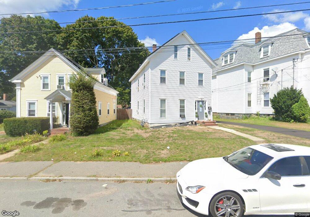
93 Winthrop St Unit 2 Taunton, MA 02780
Estimated Value: $526,000 - $698,000
3
Beds
1
Bath
1,230
Sq Ft
$495/Sq Ft
Est. Value
About This Home
This home is located at 93 Winthrop St Unit 2, Taunton, MA 02780 and is currently estimated at $609,038, approximately $495 per square foot. 93 Winthrop St Unit 2 is a home located in Bristol County with nearby schools including Mulcahey Elementary School, Taunton High School, and John F. Parker Middle School.
Ownership History
Date
Name
Owned For
Owner Type
Purchase Details
Closed on
Oct 31, 2019
Sold by
Botelho Louis M Est
Bought by
Andrade Airton and Tavares Isabel S
Current Estimated Value
Home Financials for this Owner
Home Financials are based on the most recent Mortgage that was taken out on this home.
Original Mortgage
$247,350
Outstanding Balance
$218,036
Interest Rate
3.7%
Mortgage Type
New Conventional
Estimated Equity
$391,002
Purchase Details
Closed on
Jan 1, 1979
Bought by
Botelho Louis M and Botelho Mary C
Create a Home Valuation Report for This Property
The Home Valuation Report is an in-depth analysis detailing your home's value as well as a comparison with similar homes in the area
Home Values in the Area
Average Home Value in this Area
Purchase History
| Date | Buyer | Sale Price | Title Company |
|---|---|---|---|
| Andrade Airton | $291,000 | -- | |
| Botelho Louis M | -- | -- |
Source: Public Records
Mortgage History
| Date | Status | Borrower | Loan Amount |
|---|---|---|---|
| Open | Andrade Airton | $247,350 |
Source: Public Records
Tax History Compared to Growth
Tax History
| Year | Tax Paid | Tax Assessment Tax Assessment Total Assessment is a certain percentage of the fair market value that is determined by local assessors to be the total taxable value of land and additions on the property. | Land | Improvement |
|---|---|---|---|---|
| 2025 | $6,318 | $577,500 | $108,200 | $469,300 |
| 2024 | $5,706 | $509,900 | $108,200 | $401,700 |
| 2023 | $5,292 | $439,200 | $108,200 | $331,000 |
| 2022 | $4,762 | $361,300 | $90,200 | $271,100 |
| 2021 | $4,619 | $325,300 | $82,000 | $243,300 |
| 2020 | $4,061 | $273,300 | $82,000 | $191,300 |
| 2019 | $3,693 | $234,300 | $82,000 | $152,300 |
| 2018 | $3,550 | $225,800 | $82,800 | $143,000 |
| 2017 | $3,276 | $208,500 | $78,500 | $130,000 |
| 2016 | $3,145 | $200,600 | $76,200 | $124,400 |
| 2015 | $2,817 | $187,700 | $75,000 | $112,700 |
| 2014 | $2,742 | $187,700 | $75,000 | $112,700 |
Source: Public Records
Map
Nearby Homes
- 19 Mason St
- 98 Winthrop St
- 278 Cohannet St
- 46 Harrison St Unit 4
- 39 Myrtle St
- 72 Barnum St
- 132 Winthrop St
- 16 Clinton St
- 48 Oak St
- 22 Everett St
- 16 Kilton St
- 48 Taunton Green
- 26 Kilmer Ave
- 0, M64 L51 Knapp St
- 0 M64 L39 Knapp St
- 0, M64 L49 Knapp St
- 0, M64 L50 Knapp St
- 56 Silver St
- 193 Winthrop St
- 51 Shores St
- 93 Winthrop St
- 95 Winthrop St
- 97 Winthrop St
- 247 Cohannet St
- 241 Cohannet St
- 99 Winthrop St
- 94 Winthrop St
- 237 Cohannet St
- 48 Porter St
- 48 Porter St Unit 1
- 48 Porter St Unit 2
- 32 Porter St
- 36 Porter St
- 38 Porter St
- 46 Porter St
- 88 Winthrop St
- 88 Winthrop St Unit 3
- 270 Cohannet St
- 89 Winthrop St
- 28 Porter St