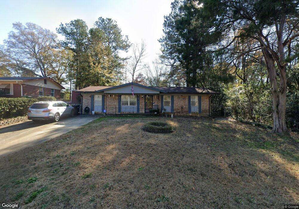
930 52nd St Columbus, GA 31904
Northern Columbus NeighborhoodEstimated Value: $119,000 - $156,000
3
Beds
3
Baths
1,250
Sq Ft
$113/Sq Ft
Est. Value
About This Home
This home is located at 930 52nd St, Columbus, GA 31904 and is currently estimated at $141,336, approximately $113 per square foot. 930 52nd St is a home located in Muscogee County with nearby schools including River Road Elementary School, Arnold Middle School, and Jordan Vocational High School.
Ownership History
Date
Name
Owned For
Owner Type
Purchase Details
Closed on
Nov 18, 2013
Sold by
Velez Reyes Luis
Bought by
Velez Reyes Luis and Oswald Lessie
Current Estimated Value
Home Financials for this Owner
Home Financials are based on the most recent Mortgage that was taken out on this home.
Original Mortgage
$74,500
Outstanding Balance
$19,975
Interest Rate
4.33%
Mortgage Type
New Conventional
Estimated Equity
$121,361
Create a Home Valuation Report for This Property
The Home Valuation Report is an in-depth analysis detailing your home's value as well as a comparison with similar homes in the area
Home Values in the Area
Average Home Value in this Area
Purchase History
| Date | Buyer | Sale Price | Title Company |
|---|---|---|---|
| Velez Reyes Luis | -- | -- |
Source: Public Records
Mortgage History
| Date | Status | Borrower | Loan Amount |
|---|---|---|---|
| Open | Velez Reyes Luis | $74,500 |
Source: Public Records
Tax History Compared to Growth
Tax History
| Year | Tax Paid | Tax Assessment Tax Assessment Total Assessment is a certain percentage of the fair market value that is determined by local assessors to be the total taxable value of land and additions on the property. | Land | Improvement |
|---|---|---|---|---|
| 2025 | $729 | $41,100 | $9,408 | $31,692 |
| 2024 | $728 | $41,100 | $9,408 | $31,692 |
| 2023 | $39 | $41,100 | $9,408 | $31,692 |
| 2022 | $759 | $31,816 | $7,056 | $24,760 |
| 2021 | $1,241 | $30,384 | $7,056 | $23,328 |
| 2020 | $1,241 | $30,384 | $7,056 | $23,328 |
| 2019 | $71 | $30,384 | $7,056 | $23,328 |
| 2018 | $71 | $30,384 | $7,056 | $23,328 |
| 2017 | $73 | $30,384 | $7,056 | $23,328 |
| 2016 | $74 | $36,687 | $5,324 | $31,363 |
| 2015 | $76 | $36,687 | $5,324 | $31,363 |
| 2014 | $78 | $36,687 | $5,324 | $31,363 |
| 2013 | $81 | $36,687 | $5,324 | $31,363 |
Source: Public Records
Map
Nearby Homes
- 936 52nd St
- 931 E Crockett Dr
- 942 52nd St
- 937 E Crockett Dr
- 927 E Crockett Dr
- 916 52nd St
- 941 52nd St
- 943 E Crockett Dr
- 921 E Crockett Dr
- 943 52nd St
- 1001 52nd St
- 5169 Thomason Ave
- 5175 Thomason Ave
- 5161 Thomason Ave
- 922 Forbes St
- 928 Forbes St
- 928 E Crockett Dr
- 5214 Cochran Ave
- 951 52nd St
- 960 Forbes St