930 Binding Branch NW Huntsville, AL 35806
Research Park NeighborhoodEstimated Value: $373,515 - $476,000
--
Bed
--
Bath
2,343
Sq Ft
$183/Sq Ft
Est. Value
About This Home
This home is located at 930 Binding Branch NW, Huntsville, AL 35806 and is currently estimated at $429,129, approximately $183 per square foot. 930 Binding Branch NW is a home with nearby schools including Providence Elementary School, Williams Middle School, and Columbia High School.
Ownership History
Date
Name
Owned For
Owner Type
Purchase Details
Closed on
Dec 11, 2015
Sold by
Woodland Homes Of Huntsville Inc
Bought by
Lockhart Rita K
Current Estimated Value
Home Financials for this Owner
Home Financials are based on the most recent Mortgage that was taken out on this home.
Original Mortgage
$135,900
Outstanding Balance
$107,330
Interest Rate
3.83%
Mortgage Type
New Conventional
Estimated Equity
$321,799
Purchase Details
Closed on
Jun 10, 2015
Sold by
Woodland Homes Of Huntsville Inc
Bought by
Bank Of Lincoln County
Create a Home Valuation Report for This Property
The Home Valuation Report is an in-depth analysis detailing your home's value as well as a comparison with similar homes in the area
Home Values in the Area
Average Home Value in this Area
Purchase History
| Date | Buyer | Sale Price | Title Company |
|---|---|---|---|
| Lockhart Rita K | $100 | None Available | |
| Bank Of Lincoln County | $189,787 | None Available | |
| Woodland Homes Of Huntsville Inc | -- | None Available |
Source: Public Records
Mortgage History
| Date | Status | Borrower | Loan Amount |
|---|---|---|---|
| Open | Lockhart Rita K | $135,900 |
Source: Public Records
Tax History Compared to Growth
Tax History
| Year | Tax Paid | Tax Assessment Tax Assessment Total Assessment is a certain percentage of the fair market value that is determined by local assessors to be the total taxable value of land and additions on the property. | Land | Improvement |
|---|---|---|---|---|
| 2024 | $1,775 | $34,900 | $6,000 | $28,900 |
| 2023 | $1,775 | $34,900 | $6,000 | $28,900 |
| 2022 | $1,800 | $31,860 | $5,500 | $26,360 |
| 2021 | $1,644 | $29,180 | $5,500 | $23,680 |
| 2020 | $1,585 | $28,150 | $5,500 | $22,650 |
| 2019 | $1,585 | $28,150 | $5,500 | $22,650 |
| 2018 | $1,574 | $27,960 | $0 | $0 |
| 2017 | $1,492 | $26,560 | $0 | $0 |
| 2016 | $1,297 | $44,700 | $0 | $0 |
| 2015 | $510 | $8,800 | $0 | $0 |
Source: Public Records
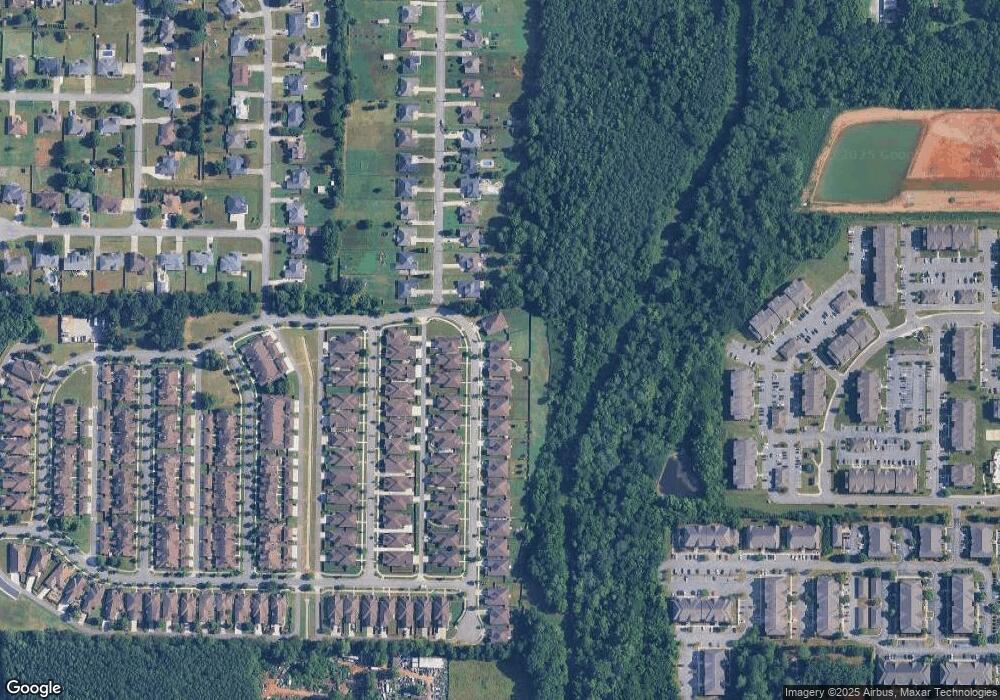
Map
Nearby Homes
- 907 Binding Branch NW
- 1014 Cresent Falls
- 1017 Cresent Falls
- 1093 Binding Branch NW
- 1034 Split Rock Cove NW
- 789 Plummer Rd
- 122 Navaho Trail
- 612 Indian Creek Rd NW
- 103 Sherwin Ave
- 215 Turtle Creek Dr
- 138 Harness Dr
- 108 Quail Hollow Rd NW
- 120 Preswick Place NW
- 320 Saddlegate Dr NW
- 167 Kingswood Dr
- 117 Kretzer Ct
- 342 Research Station Blvd NW
- 102 Kretzer Ct
- The Dallas 5-M Plan at Anslee Farms - The Estates
- The Rosemary II 5-M Plan at Anslee Farms - The Estates
- 928 Binding Branch NW
- 932 Binding Branch NW
- 926 Binding Branch NW
- 927 Binding Branch NW
- 924 Binding Branch NW
- 131 High Noon Ln
- 925 Binding Branch NW
- 922 Binding Branch NW
- 923 Binding Branch NW
- 129 High Noon Ln
- 921 Binding Branch NW
- 920 Binding Branch NW
- 1124 Corner Brook NW
- 127 High Noon Ln
- 130 High Noon Ln
- 1122 Corner Brook NW
- 1118 Corner Brook NW
- 1120 Corner Brook NW
- 918 Binding Branch NW
- 1116 Corner Brook NW