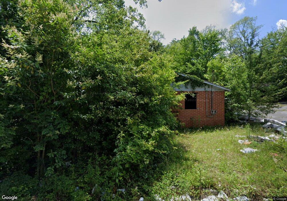
930 Elder St Macon, GA 31217
Estimated Value: $146,000 - $178,000
4
Beds
2
Baths
1,250
Sq Ft
$130/Sq Ft
Est. Value
About This Home
This home is located at 930 Elder St, Macon, GA 31217 and is currently estimated at $162,505, approximately $130 per square foot. 930 Elder St is a home located in Bibb County with nearby schools including Martin Luther King Jr. Elementary School, Appling Middle School, and Northeast High School.
Ownership History
Date
Name
Owned For
Owner Type
Purchase Details
Closed on
Sep 3, 2019
Sold by
Sandidge Robert
Bought by
Crump Kara
Current Estimated Value
Purchase Details
Closed on
Feb 2, 2006
Sold by
Allinace Properties Group Llc
Bought by
Sandidge Robert
Home Financials for this Owner
Home Financials are based on the most recent Mortgage that was taken out on this home.
Original Mortgage
$148,500
Interest Rate
6.14%
Mortgage Type
New Conventional
Purchase Details
Closed on
Oct 5, 2004
Purchase Details
Closed on
Jul 1, 2003
Create a Home Valuation Report for This Property
The Home Valuation Report is an in-depth analysis detailing your home's value as well as a comparison with similar homes in the area
Purchase History
| Date | Buyer | Sale Price | Title Company |
|---|---|---|---|
| Crump Kara | $3,750 | None Available | |
| Sandidge Robert | $165,000 | None Avilebel | |
| -- | $50,000 | -- | |
| -- | $194,700 | -- |
Source: Public Records
Mortgage History
| Date | Status | Borrower | Loan Amount |
|---|---|---|---|
| Previous Owner | Sandidge Robert | $148,500 |
Source: Public Records
Tax History
| Year | Tax Paid | Tax Assessment Tax Assessment Total Assessment is a certain percentage of the fair market value that is determined by local assessors to be the total taxable value of land and additions on the property. | Land | Improvement |
|---|---|---|---|---|
| 2025 | $1,199 | $48,777 | $5,214 | $43,563 |
| 2024 | $1,109 | $43,671 | $4,464 | $39,207 |
| 2023 | $3,882 | $43,257 | $4,050 | $39,207 |
| 2022 | $5,562 | $39,160 | $8,956 | $30,204 |
| 2021 | $912 | $23,999 | $3,359 | $20,640 |
| 2020 | $852 | $21,936 | $3,359 | $18,577 |
| 2019 | $679 | $17,355 | $3,359 | $13,996 |
| 2018 | $3,200 | $17,355 | $3,359 | $13,996 |
| 2017 | $650 | $17,355 | $3,359 | $13,996 |
| 2016 | $600 | $17,354 | $3,359 | $13,996 |
| 2015 | $850 | $17,354 | $3,359 | $13,996 |
| 2014 | $1,010 | $17,932 | $3,583 | $14,350 |
Source: Public Records
Map
Nearby Homes
- 955 Elder St
- 1215 Hawkinsville Ave
- 1244 Hall St
- 806 Magnolia Dr
- 765 Magnolia Dr
- 1008 Sunnydale Dr
- 710 Magnolia Dr
- 1336 Jeffersonville Rd
- 1024 Clarks Ln
- 684 Reese St
- 1235 Boone St
- 845 Norris St
- 972 Norris St
- 857 Mitchell St
- 725 Schaeffer Place
- 1012 Emery Hwy
- 909 Johnson St
- 774 Maynard St
- 735 Maynard St
- 751 Mitchell St
- 979 Hart Ave
- 987 Elder St
- 995 Hart Ave
- 955 Hart Ave
- 1215 Hawkinsville Ave Unit 4
- 1225 Hawkinsville Ave
- 1185 Hawkinsville Ave
- 980 Hart Ave
- 984 Hart Ave
- 960 Hart Ave
- 998 Hart Ave
- 886 Trinity Place
- 954 Hart Ave
- 878 Trinity Place
- 1269 Hall St
- 870 Trinity Place
- 1249 Hall St
- 1216 Hall St
- 1255 Hall St
- 1247 Hall St Unit Hall Street rental
Your Personal Tour Guide
Ask me questions while you tour the home.