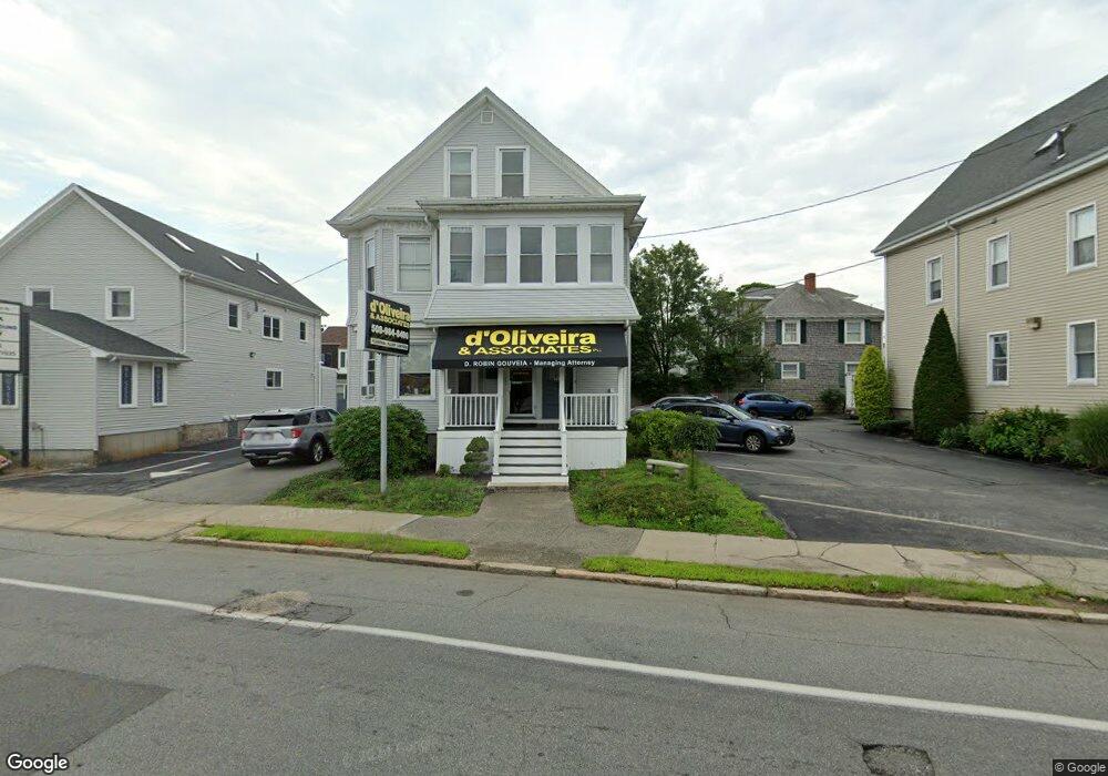
930 Kempton St Unit 1 New Bedford, MA 02740
Buttonwood Park Neighborhood
2
Beds
1
Bath
2,602
Sq Ft
7,405
Sq Ft Lot
About This Home
This home is located at 930 Kempton St Unit 1, New Bedford, MA 02740. 930 Kempton St Unit 1 is a home located in Bristol County with nearby schools including Thomas R. Rodman Elementary School, Keith Middle School, and New Bedford High School.
Ownership History
Date
Name
Owned For
Owner Type
Purchase Details
Closed on
Apr 30, 2019
Sold by
Bruce Rosemary and Bruce Kristen M
Bought by
Bruce Lt
Purchase Details
Closed on
Nov 15, 1993
Sold by
Johnson Helen A
Bought by
Bruce Richard D and Bruce Rosemary
Home Financials for this Owner
Home Financials are based on the most recent Mortgage that was taken out on this home.
Original Mortgage
$64,750
Interest Rate
6.79%
Mortgage Type
Commercial
Create a Home Valuation Report for This Property
The Home Valuation Report is an in-depth analysis detailing your home's value as well as a comparison with similar homes in the area
Home Values in the Area
Average Home Value in this Area
Purchase History
| Date | Buyer | Sale Price | Title Company |
|---|---|---|---|
| Bruce Lt | -- | -- | |
| Bruce Lt | -- | -- | |
| Bruce Richard D | $46,250 | -- | |
| Bruce Richard D | $46,250 | -- | |
| Bruce Richard D | $46,250 | -- |
Source: Public Records
Mortgage History
| Date | Status | Borrower | Loan Amount |
|---|---|---|---|
| Previous Owner | Bruce Richard D | $64,750 | |
| Previous Owner | Bruce Richard D | $0 |
Source: Public Records
Tax History Compared to Growth
Tax History
| Year | Tax Paid | Tax Assessment Tax Assessment Total Assessment is a certain percentage of the fair market value that is determined by local assessors to be the total taxable value of land and additions on the property. | Land | Improvement |
|---|---|---|---|---|
| 2025 | -- | $417,800 | $177,300 | $240,500 |
| 2024 | -- | $420,300 | $177,300 | $243,000 |
| 2023 | $0 | $312,400 | $131,300 | $181,100 |
| 2022 | $0 | $271,400 | $125,100 | $146,300 |
| 2021 | $0 | $243,800 | $119,000 | $124,800 |
| 2020 | $6,614 | $240,000 | $119,000 | $121,000 |
| 2019 | $6,570 | $243,900 | $119,000 | $124,900 |
| 2018 | $0 | $238,100 | $119,000 | $119,100 |
| 2017 | -- | $237,700 | $119,000 | $118,700 |
| 2016 | -- | $240,000 | $119,000 | $121,000 |
| 2015 | -- | $240,000 | $119,000 | $121,000 |
| 2014 | -- | $245,800 | $119,000 | $126,800 |
Source: Public Records
Map
Nearby Homes
- 388 Reed St
- 357 North St
- 348 North St
- 680 Rockdale Ave
- 317 Commonwealth Ave
- 245 Brownell St
- ) Hapwell & Summit St
- 605 Union St
- 15-17 Lindsey St
- 122 Armour St
- 370 Maple St
- 330 Maple St
- 240-242 Rounds St
- 0 Norfolk Ave Unit 73403282
- 69 Newton St
- 0 Middlesex St
- 55-57 Ocean St
- 417 Maxfield St
- 82 Pierce St
- 224 Court St Unit 2
- 950 Old Highway 6 & 50
- 932 Kempton St Unit 1
- 932 Kempton St
- 38 Buttonwood St
- 922 Kempton St
- 36 Buttonwood St
- 59 Hussey St
- 37 Buttonwood St
- 34 Buttonwood St
- 55 Hussey St
- 35 Buttonwood St
- 68 Hussey St
- 32 Buttonwood St
- 51 Hussey St
- 62 Hussey St
- 966 Kempton St
- 32 Jenny Lind St
- 36 Jenny Lind St
- 33 Buttonwood St
- 30 Jenny Lind St