Estimated Value: $107,000 - $189,000
2
Beds
1
Bath
999
Sq Ft
$151/Sq Ft
Est. Value
About This Home
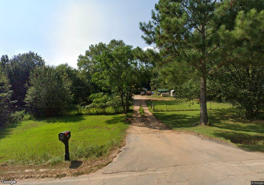
This home is located at 930 Martin Rd, Starr, SC 29684 and is currently estimated at $150,813, approximately $150 per square foot. 930 Martin Rd is a home located in Anderson County with nearby schools including Crescent High School.
Ownership History
Date
Name
Owned For
Owner Type
Purchase Details
Closed on
May 3, 2010
Sold by
Walker David Russell
Bought by
Cash Jason M and Poore Ginger L
Current Estimated Value
Home Financials for this Owner
Home Financials are based on the most recent Mortgage that was taken out on this home.
Original Mortgage
$62,063
Outstanding Balance
$42,004
Interest Rate
5.25%
Mortgage Type
FHA
Estimated Equity
$108,809
Purchase Details
Closed on
Mar 22, 2007
Sold by
Hud
Bought by
Walker David Russell
Home Financials for this Owner
Home Financials are based on the most recent Mortgage that was taken out on this home.
Original Mortgage
$28,000
Interest Rate
6.15%
Mortgage Type
Purchase Money Mortgage
Purchase Details
Closed on
Feb 22, 2006
Sold by
King Randy J and King Willis M
Bought by
Hud
Create a Home Valuation Report for This Property
The Home Valuation Report is an in-depth analysis detailing your home's value as well as a comparison with similar homes in the area
Home Values in the Area
Average Home Value in this Area
Purchase History
| Date | Buyer | Sale Price | Title Company |
|---|---|---|---|
| Cash Jason M | $63,000 | -- | |
| Walker David Russell | $38,000 | None Available | |
| Hud | $48,350 | None Available |
Source: Public Records
Mortgage History
| Date | Status | Borrower | Loan Amount |
|---|---|---|---|
| Open | Cash Jason M | $62,063 | |
| Previous Owner | Walker David Russell | $28,000 |
Source: Public Records
Tax History
| Year | Tax Paid | Tax Assessment Tax Assessment Total Assessment is a certain percentage of the fair market value that is determined by local assessors to be the total taxable value of land and additions on the property. | Land | Improvement |
|---|---|---|---|---|
| 2024 | $472 | $2,680 | $1,030 | $1,650 |
| 2023 | $465 | $2,680 | $1,030 | $1,650 |
| 2022 | $438 | $2,680 | $1,030 | $1,650 |
| 2021 | $408 | $2,520 | $990 | $1,530 |
| 2020 | $403 | $2,520 | $990 | $1,530 |
| 2019 | $403 | $2,520 | $990 | $1,530 |
| 2018 | $403 | $2,520 | $990 | $1,530 |
| 2017 | -- | $2,520 | $990 | $1,530 |
| 2016 | $404 | $2,360 | $720 | $1,640 |
| 2015 | $411 | $2,360 | $720 | $1,640 |
| 2014 | $413 | $2,360 | $720 | $1,640 |
Source: Public Records
Map
Nearby Homes
- 884 Martin Rd
- 509 Little Mountain Rd
- 624 Little Mountain Rd
- 534 Little Mountain Rd
- 505 Stevenson Rd
- 132 Stevenson Rd
- 113 Willie Mae Ct
- 109 Carson Dr
- 214 Sullivan Ln
- 113 Tate Dr
- 2916 Highway 29 S
- 00 Trump Pointe
- 0 Trump Pointe Unit 20286225
- 305 Amy St
- 304 Cleveland Rd
- 1907 Mountain Creek Church Rd
- 4902 S Carolina 81
- 4900 S Carolina 81
- 113 Sunrise Dr Unit SUN0007
- 109 Sunrise Dr Unit SUN0005
- 101 Lone Star Ln
- 921 Martin Rd
- 107 Lone Star Ln
- 103 Lone Star Ln
- 103 Lone Starr Ln
- 105 Lone Star Ln
- 929 Martin Rd
- 918 Martin Rd
- 923 Martin Rd
- 111 Lone Starr Ln
- 106 Lone Star Ln
- 124 Lone Star Ln
- 4 & 5 Martin Rd
- 599 Martin Rd
- 0 Martin Rd
- 140 Lone Star Ln
- 1000 Martin Rd
- 148 Lone Star Ln
- 148 Lone Star Ln
- 901 Martin Rd
Your Personal Tour Guide
Ask me questions while you tour the home.