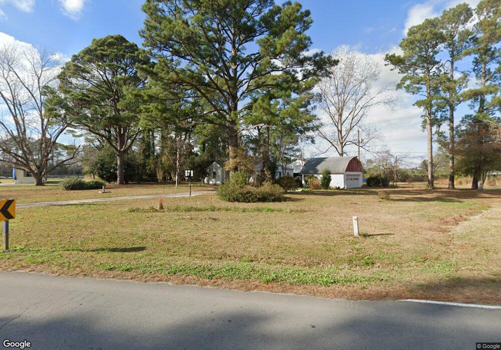
930 Newport Loop Rd Newport, NC 28570
Estimated Value: $304,000 - $342,000
3
Beds
1
Bath
2,083
Sq Ft
$157/Sq Ft
Est. Value
About This Home
This home is located at 930 Newport Loop Rd, Newport, NC 28570 and is currently estimated at $327,587, approximately $157 per square foot. 930 Newport Loop Rd is a home located in Carteret County with nearby schools including Newport Elementary School, Newport Middle School, and West Carteret High School.
Ownership History
Date
Name
Owned For
Owner Type
Purchase Details
Closed on
Dec 28, 2021
Sold by
Keith Millis Holland
Bought by
Millis Jorge Alberto and Millis Karran Beatrice
Current Estimated Value
Home Financials for this Owner
Home Financials are based on the most recent Mortgage that was taken out on this home.
Original Mortgage
$247,500
Interest Rate
3.55%
Mortgage Type
New Conventional
Create a Home Valuation Report for This Property
The Home Valuation Report is an in-depth analysis detailing your home's value as well as a comparison with similar homes in the area
Home Values in the Area
Average Home Value in this Area
Purchase History
| Date | Buyer | Sale Price | Title Company |
|---|---|---|---|
| Millis Jorge Alberto | $275,000 | Wall Bevin W | |
| Millis Jorge Alberto | $275,000 | None Listed On Document |
Source: Public Records
Mortgage History
| Date | Status | Borrower | Loan Amount |
|---|---|---|---|
| Previous Owner | Millis Jorge Alberto | $247,500 |
Source: Public Records
Tax History Compared to Growth
Tax History
| Year | Tax Paid | Tax Assessment Tax Assessment Total Assessment is a certain percentage of the fair market value that is determined by local assessors to be the total taxable value of land and additions on the property. | Land | Improvement |
|---|---|---|---|---|
| 2025 | $1,107 | $305,620 | $116,774 | $188,846 |
| 2024 | $922 | $171,702 | $88,530 | $83,172 |
| 2023 | $962 | $171,702 | $88,530 | $83,172 |
| 2022 | $945 | $171,702 | $88,530 | $83,172 |
| 2021 | $0 | $171,702 | $88,530 | $83,172 |
| 2020 | $807 | $145,860 | $62,688 | $83,172 |
| 2019 | $813 | $158,335 | $62,688 | $95,647 |
| 2017 | $782 | $158,335 | $62,688 | $95,647 |
| 2016 | $782 | $158,335 | $62,688 | $95,647 |
| 2015 | $766 | $158,335 | $62,688 | $95,647 |
Source: Public Records
Map
Nearby Homes
- 764 Chatham St
- 757 Chatham St
- 102 Candace Ct
- 554 Chatham St
- 8202 Highway 70
- 202 Courtyard W
- 730 Chatham St
- 2211 Park Ave
- 2101 S Lakeview Dr
- 690 Chatham St
- 223 Independence Blvd
- 251 Independence Blvd
- 258 Independence Blvd
- 129 Bayberry Rd
- 262 Independence Blvd
- 113 Duncan Ln
- 143 Tradition Trail
- Molly Plan at Heritage Pointe - Carolina Series
- Kids Plan at Heritage Pointe - Carolina Series
- Birmingham Plan at Heritage Pointe - Carolina Series
- 977 Newport Loop Rd
- 850 Newport Loop Rd
- 847 Newport Loop Rd
- 834 Newport Loop Rd
- 820 Newport Loop Rd
- 810 Newport Loop Rd
- 821 Newport Loop Rd
- 841 Newport Loop Rd
- 829 Newport Loop Rd
- 150 Chips Rd
- 800 Newport Loop Rd
- 1087 Newport Loop Rd
- 1106 Newport Loop Rd
- 1097 Newport Loop Rd
- 112 Tom Mann Road Extension
- 1100 Newport Loop Rd
- 0000 Newport Loop
- 1038 Chatham St
- 121 Tom Mann Rd Unit EXT
- 121 Tom Mann Rd