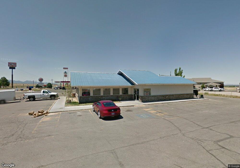
930 S Highway 99 Fillmore, UT 84631
--
Bed
--
Bath
2,640
Sq Ft
0.63
Acres
About This Home
This home is located at 930 S Highway 99, Fillmore, UT 84631. 930 S Highway 99 is a home located in Millard County.
Ownership History
Date
Name
Owned For
Owner Type
Purchase Details
Closed on
May 31, 2018
Sold by
Paxton Larry A
Bought by
Open Air Properties Llc
Home Financials for this Owner
Home Financials are based on the most recent Mortgage that was taken out on this home.
Original Mortgage
$275,000
Outstanding Balance
$237,829
Interest Rate
4.5%
Mortgage Type
Seller Take Back
Purchase Details
Closed on
Jan 21, 2011
Sold by
Paxton Larry A and Paxton Susan K
Bought by
Paxton Aaron and Marshall Melissa
Home Financials for this Owner
Home Financials are based on the most recent Mortgage that was taken out on this home.
Original Mortgage
$350,000
Interest Rate
4.79%
Mortgage Type
Commercial
Create a Home Valuation Report for This Property
The Home Valuation Report is an in-depth analysis detailing your home's value as well as a comparison with similar homes in the area
Home Values in the Area
Average Home Value in this Area
Purchase History
| Date | Buyer | Sale Price | Title Company |
|---|---|---|---|
| Open Air Properties Llc | -- | First American Title | |
| Paxton Aaron | -- | -- |
Source: Public Records
Mortgage History
| Date | Status | Borrower | Loan Amount |
|---|---|---|---|
| Open | Open Air Properties Llc | $275,000 | |
| Previous Owner | Paxton Aaron | $350,000 |
Source: Public Records
Tax History Compared to Growth
Tax History
| Year | Tax Paid | Tax Assessment Tax Assessment Total Assessment is a certain percentage of the fair market value that is determined by local assessors to be the total taxable value of land and additions on the property. | Land | Improvement |
|---|---|---|---|---|
| 2024 | $3,124 | $266,104 | $34,304 | $231,800 |
| 2023 | $3,124 | $266,104 | $34,304 | $231,800 |
| 2022 | $2,930 | $263,085 | $31,285 | $231,800 |
| 2021 | $2,905 | $250,441 | $31,285 | $219,156 |
| 2020 | $2,888 | $250,441 | $31,285 | $219,156 |
| 2019 | $2,879 | $250,441 | $31,285 | $219,156 |
| 2018 | $2,574 | $229,200 | $31,285 | $197,915 |
| 2017 | $2,544 | $215,361 | $31,500 | $183,861 |
| 2016 | $2,434 | $215,361 | $31,500 | $183,861 |
| 2015 | $2,435 | $215,361 | $31,500 | $183,861 |
| 2014 | -- | $215,361 | $31,500 | $183,861 |
| 2013 | -- | $215,361 | $31,500 | $183,861 |
Source: Public Records
Map
Nearby Homes
- 1100 S 725 Rd W
- 2600 S 400 Rd W
- 190 W 400 St S
- 30 E 300 S
- 155 E 500 St S
- 1615 W Sunflower Ln Unit 4
- 1565 W Sunflower Ln Unit 3
- 1765 W Sunflower Ln Unit 7
- 405 E 500 St S
- 220 S 200 E
- 760 E 700 St S
- 225 W 200 St N
- 40 S 100 Rd E
- 60 W 100 N
- 430 E Canyon Rd
- 335 W 400 North St
- 410 W 400 N
- 380 N 200 St W
- 310 S 600 E
- 690 E 500 S