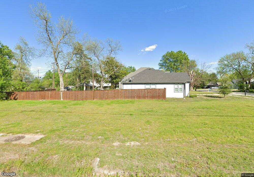
930 S Mirick Ave Denison, TX 75020
Estimated Value: $49,196 - $659,000
--
Bed
--
Bath
--
Sq Ft
7,405
Sq Ft Lot
About This Home
This home is located at 930 S Mirick Ave, Denison, TX 75020 and is currently estimated at $354,098. 930 S Mirick Ave is a home located in Grayson County with nearby schools including Scott Middle School, Denison High School, and St. Luke's Parish Day School.
Ownership History
Date
Name
Owned For
Owner Type
Purchase Details
Closed on
Nov 2, 2022
Sold by
Evans Brett L
Bought by
Butterfield Ted
Current Estimated Value
Purchase Details
Closed on
Apr 26, 2011
Sold by
Friesen Nancy
Bought by
Butterfield Ted
Purchase Details
Closed on
Mar 16, 2011
Sold by
Clark Florence Messer
Bought by
Friesen Nancy Louise
Purchase Details
Closed on
Jul 15, 2010
Sold by
Friesen Nancy Louise
Bought by
Clark Florence Messer
Purchase Details
Closed on
Nov 17, 2009
Sold by
Denison Independent School District
Bought by
Rendezvous Real Estate Llc
Purchase Details
Closed on
Aug 14, 2007
Sold by
West Cathy
Bought by
County Of Grayson
Create a Home Valuation Report for This Property
The Home Valuation Report is an in-depth analysis detailing your home's value as well as a comparison with similar homes in the area
Home Values in the Area
Average Home Value in this Area
Purchase History
| Date | Buyer | Sale Price | Title Company |
|---|---|---|---|
| Butterfield Ted | $42,000 | -- | |
| Butterfield Ted | $3,000 | None Available | |
| Friesen Nancy Louise | -- | None Available | |
| Clark Florence Messer | $500 | None Available | |
| Rendezvous Real Estate Llc | $2,600 | None Available | |
| County Of Grayson | -- | None Available |
Source: Public Records
Tax History Compared to Growth
Tax History
| Year | Tax Paid | Tax Assessment Tax Assessment Total Assessment is a certain percentage of the fair market value that is determined by local assessors to be the total taxable value of land and additions on the property. | Land | Improvement |
|---|---|---|---|---|
| 2025 | $810 | $34,875 | $34,875 | -- |
| 2024 | $810 | $34,875 | $34,875 | $0 |
| 2023 | $792 | $34,950 | $34,950 | $0 |
| 2022 | $738 | $31,050 | $31,050 | $0 |
| 2021 | $520 | $20,625 | $20,625 | $0 |
| 2020 | $396 | $15,000 | $15,000 | $0 |
| 2019 | $248 | $9,000 | $9,000 | $0 |
| 2018 | $166 | $6,000 | $6,000 | $0 |
| 2017 | $67 | $2,400 | $2,400 | $0 |
| 2016 | $738 | $26,372 | $2,400 | $23,972 |
| 2015 | $0 | $19,214 | $2,400 | $16,814 |
| 2014 | -- | $19,214 | $2,400 | $16,814 |
Source: Public Records
Map
Nearby Homes
- 511 W Munson St
- 621 W Munson St
- 430 W Munson St
- 513 W Texas St
- 615 W Texas St
- 701 W Hull St Unit 101-2
- 704 W Hull St
- 408 W Day St
- 702 S Barrett Ave
- 708 W Texas St
- 326 W Day St
- 415 W Monterey St
- 330 W Texas St
- 1011 S Armstrong Ave
- TBD W Texas St
- 1401 W Texas St
- 0000 W Texas St
- 309 W Monterey St
- 901 W Munson St
- 1007 S Scullin Ave
- 527 W Hull St
- 523 W Hull St
- 908 S Mirick Ave
- 517 W Hull St
- 919 S Mirick Ave
- 526 W Munson St
- 526 W Munson St Unit 2
- 526 W Munson St Unit 4
- 526 W Munson St Unit 3
- 522 W Munson St
- 513 W Hull St
- 600 W Munson St
- 611 W Hull St
- 530 W Hull St
- 526 W Hull St
- 520 W Munson St
- 606 W Munson St
- 509 W Hull St
- 600 W Hull St
- 518 W Hull St