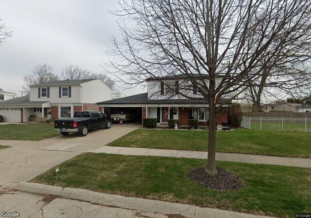
930 Shenandoah Ct Clawson, MI 48017
Estimated Value: $364,673 - $417,000
4
Beds
2
Baths
1,655
Sq Ft
$233/Sq Ft
Est. Value
About This Home
This home is located at 930 Shenandoah Ct, Clawson, MI 48017 and is currently estimated at $384,918, approximately $232 per square foot. 930 Shenandoah Ct is a home located in Oakland County with nearby schools including Clawson Middle School, Clawson High School, and Japhet School.
Ownership History
Date
Name
Owned For
Owner Type
Purchase Details
Closed on
Feb 16, 2006
Sold by
Verner Theodore James and Verner Margaret L
Bought by
Morin Daniel George and Morin Susan Marie
Current Estimated Value
Purchase Details
Closed on
Jan 11, 2005
Sold by
Morin Daniel and Morin Susan
Bought by
Wm Specialty Mortgage Llc
Create a Home Valuation Report for This Property
The Home Valuation Report is an in-depth analysis detailing your home's value as well as a comparison with similar homes in the area
Home Values in the Area
Average Home Value in this Area
Purchase History
| Date | Buyer | Sale Price | Title Company |
|---|---|---|---|
| Morin Daniel George | $200,000 | None Available | |
| Wm Specialty Mortgage Llc | $154,864 | -- |
Source: Public Records
Mortgage History
| Date | Status | Borrower | Loan Amount |
|---|---|---|---|
| Closed | Morin Daniel George | $0 |
Source: Public Records
Tax History
| Year | Tax Paid | Tax Assessment Tax Assessment Total Assessment is a certain percentage of the fair market value that is determined by local assessors to be the total taxable value of land and additions on the property. | Land | Improvement |
|---|---|---|---|---|
| 2025 | $4,146 | $170,800 | $0 | $0 |
| 2024 | $3,962 | $161,260 | $0 | $0 |
| 2023 | $3,798 | $151,680 | $0 | $0 |
| 2022 | $3,828 | $140,640 | $0 | $0 |
| 2021 | $3,750 | $132,770 | $0 | $0 |
| 2020 | $3,633 | $125,370 | $0 | $0 |
| 2019 | $3,754 | $119,690 | $0 | $0 |
| 2018 | $3,727 | $109,720 | $0 | $0 |
| 2017 | $3,705 | $106,370 | $0 | $0 |
| 2016 | $3,746 | $100,020 | $0 | $0 |
| 2015 | -- | $91,630 | $0 | $0 |
| 2014 | -- | $79,390 | $0 | $0 |
| 2011 | -- | $72,270 | $0 | $0 |
Source: Public Records
Map
Nearby Homes
- 908 W Elmwood Ave
- 931 W Elmwood Ave
- Fairfax Plan at The Village at Clawson Park
- Penrose Plan at The Village at Clawson Park
- 1092 Shenandoah Dr
- 846 Phillips Ave
- 674 Langley Blvd
- 310 N Marias Ave
- 1451 Kenilworth Place
- 351 W Baker Ave
- 320 N Batchewana St
- 609 John M Ave
- 2130 Wickham St Unit 4
- 1959 Wickham St Unit 115
- 4956 Coventry St
- 659 W Maple Rd
- 4921 N Crooks Rd Unit N-10
- 1563 N Bywood Ave Unit 6
- 4909 Crooks Rd Unit D6
- 4909 Crooks Rd Unit 4
- 940 Shenandoah Ct
- 920 Shenandoah Ct
- 930 W Elmwood Ave
- 950 Shenandoah Ct
- 923 N Selfridge Blvd
- 925 N Selfridge Blvd
- 920 W Elmwood Ave
- 927 N Selfridge Blvd
- 960 Shenandoah Ct
- 921 Shenandoah Ct
- 931 Shenandoah Ct
- 941 Shenandoah Ct
- 929 N Selfridge Blvd
- 0 Shenandoah Dr
- 55 Shenandoah Dr
- 1020 W Elmwood Ave
- 951 Shenandoah Ct
- 970 Shenandoah Ct
- 1030 W Elmwood Ave
- 961 Shenandoah Ct
