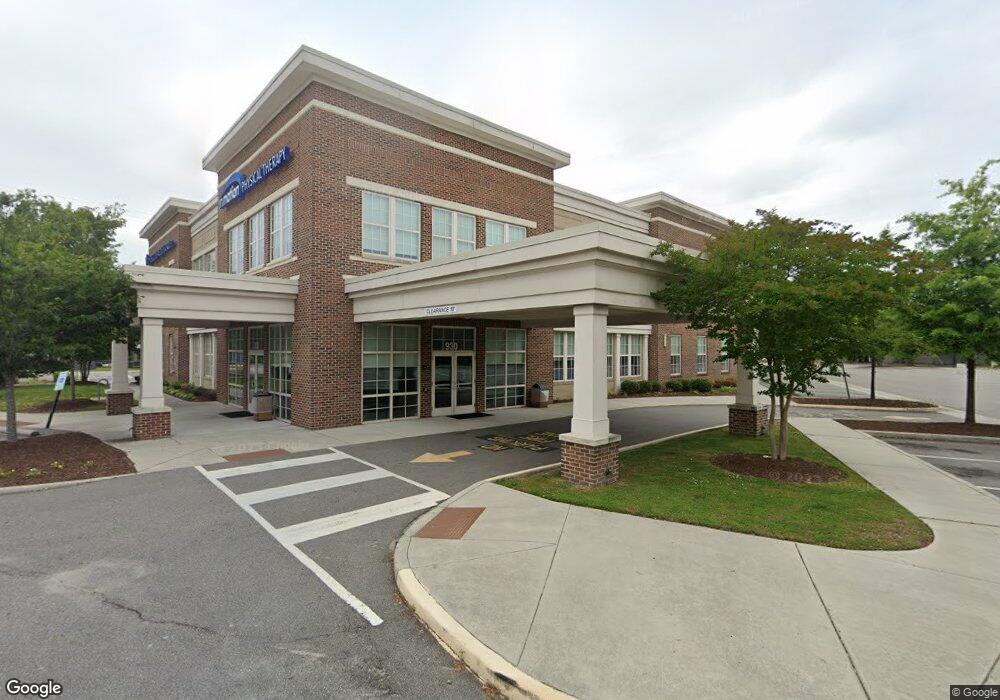
930 W 21st St Norfolk, VA 23517
Ghent Neighborhood
--
Bed
--
Bath
28,080
Sq Ft
1.43
Acres
About This Home
This home is located at 930 W 21st St, Norfolk, VA 23517. 930 W 21st St is a home located in Norfolk City with nearby schools including W.H. Taylor Elementary School, Blair Middle School, and Maury High School.
Ownership History
Date
Name
Owned For
Owner Type
Purchase Details
Closed on
Jun 30, 2023
Sold by
Advance Southstar Llc
Bought by
21St Street Partners Mob Lc
Home Financials for this Owner
Home Financials are based on the most recent Mortgage that was taken out on this home.
Original Mortgage
$700,000
Outstanding Balance
$682,609
Interest Rate
6.57%
Mortgage Type
Construction
Create a Home Valuation Report for This Property
The Home Valuation Report is an in-depth analysis detailing your home's value as well as a comparison with similar homes in the area
Home Values in the Area
Average Home Value in this Area
Purchase History
| Date | Buyer | Sale Price | Title Company |
|---|---|---|---|
| 21St Street Partners Mob Lc | -- | Bridgetrust Title | |
| Advance Southstar Llc | -- | Bridge Trust Title |
Source: Public Records
Mortgage History
| Date | Status | Borrower | Loan Amount |
|---|---|---|---|
| Open | 21St Street Partners Mob Lc | $700,000 |
Source: Public Records
Tax History Compared to Growth
Tax History
| Year | Tax Paid | Tax Assessment Tax Assessment Total Assessment is a certain percentage of the fair market value that is determined by local assessors to be the total taxable value of land and additions on the property. | Land | Improvement |
|---|---|---|---|---|
| 2025 | $69,358 | $5,548,600 | $1,619,600 | $3,929,000 |
| 2024 | $68,851 | $5,508,100 | $1,619,600 | $3,888,500 |
| 2023 | $68,851 | $5,508,100 | $1,619,600 | $3,888,500 |
| 2022 | $66,203 | $5,296,200 | $1,619,600 | $3,676,600 |
| 2021 | $68,094 | $5,447,500 | $1,619,600 | $3,827,900 |
| 2020 | $66,460 | $5,316,800 | $1,619,600 | $3,697,200 |
| 2019 | $66,460 | $5,316,800 | $1,619,600 | $3,697,200 |
| 2018 | $65,789 | $5,263,100 | $1,588,400 | $3,674,700 |
| 2017 | $59,450 | $5,169,600 | $1,588,400 | $3,581,200 |
| 2016 | $59,067 | $0 | $0 | $0 |
| 2015 | -- | $0 | $0 | $0 |
| 2014 | -- | $0 | $0 | $0 |
Source: Public Records
Map
Nearby Homes
- 963 Woodrow Ave Unit A
- 828 Harrington Ave Unit 1
- 1024 Gates Ave Unit 5A
- 1024 Gates Ave Unit 5C
- 1027 Gates Ave
- 1610 Hampton Blvd
- 1040 Brandon Ave Unit 1
- 913 Spotswood Ave Unit 1
- 2406 Colley Ave
- 825 Spotswood Ave
- 1405 Azalea Ct
- 747 Shirley Ave
- 1430 Armistead Bridge Rd
- 1042 W 35th St
- 1215 W 27th St
- 1043 W 36th St
- 1013 W 36th St
- 705 Spotswood Ave Unit A-6
- 1231 W 27th St
- 717 W 29th St
- 931 W 21st St Unit C
- 931 W 21st St
- 939 W 21st St
- 952 W 21st St
- 950 Woodrow Ave
- 925 W 21st St
- 935 Woodrow Ave
- 951 W 21st St
- 945 Woodrow Ave
- 924 W 21st St
- 953 Azalea Ct
- 956 Woodrow Ave
- 951 Woodrow Ave
- 926 W 23rd St
- 915 W 21st St
- 920 W 23rd St
- 960 Woodrow Ave
- 924 W 23rd St
- 928 Harrington Ave
- 918 W 23rd St