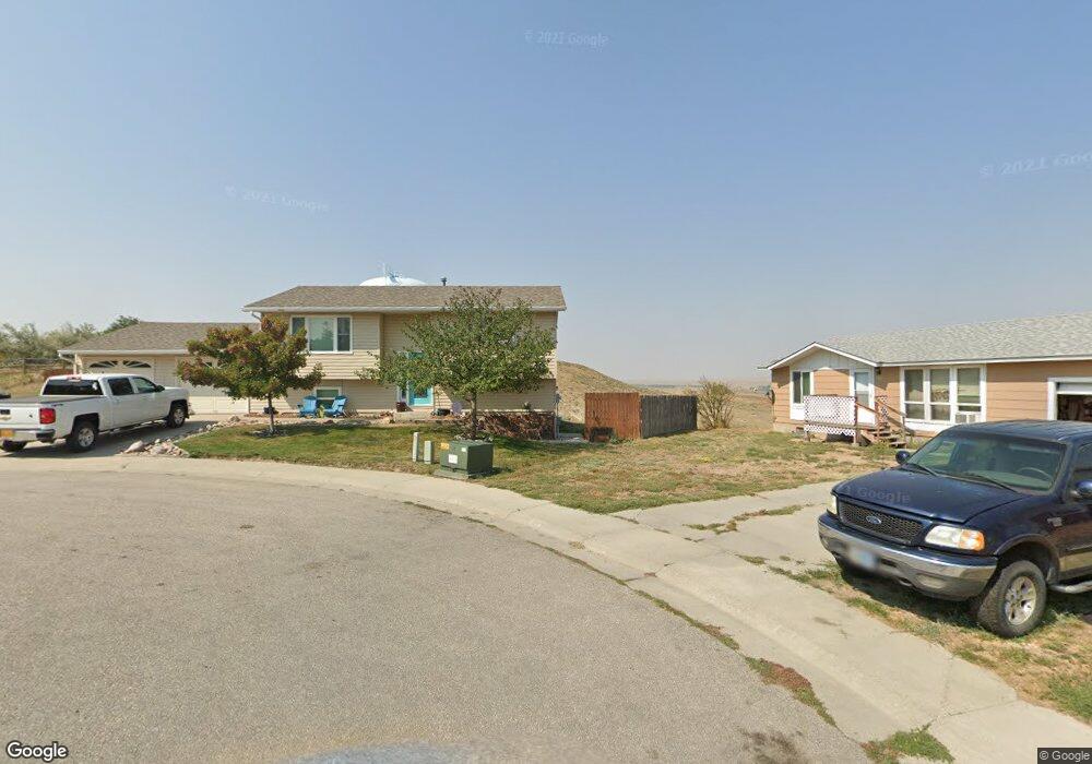
930 W Fir St Glenrock, WY 82637
Estimated Value: $36,000 - $316,000
2
Beds
2
Baths
987
Sq Ft
$227/Sq Ft
Est. Value
About This Home
This home is located at 930 W Fir St, Glenrock, WY 82637 and is currently estimated at $224,534, approximately $227 per square foot. 930 W Fir St is a home with nearby schools including Grant Elementary School, Glenrock Intermediate School, and Boxelder Elementary.
Ownership History
Date
Name
Owned For
Owner Type
Purchase Details
Closed on
Apr 11, 2024
Sold by
Davis Steve E
Bought by
Davis Steve E and Davis Jonathan
Current Estimated Value
Purchase Details
Closed on
Jun 26, 2009
Sold by
Anfinson Chase L
Bought by
Anfinson Chase L and Anfinson Kate A
Purchase Details
Closed on
Aug 14, 2008
Sold by
Theien Tiffany Jo and Theien Justin
Bought by
Anfinson Chase L
Home Financials for this Owner
Home Financials are based on the most recent Mortgage that was taken out on this home.
Original Mortgage
$138,250
Interest Rate
6.38%
Mortgage Type
New Conventional
Purchase Details
Closed on
Jul 22, 2006
Sold by
Mcmahan Tiffany Jo
Bought by
Thelen Tiffany Jo and Thelen Justin
Create a Home Valuation Report for This Property
The Home Valuation Report is an in-depth analysis detailing your home's value as well as a comparison with similar homes in the area
Home Values in the Area
Average Home Value in this Area
Purchase History
| Date | Buyer | Sale Price | Title Company |
|---|---|---|---|
| Davis Steve E | -- | None Listed On Document | |
| Anfinson Chase L | -- | None Available | |
| Anfinson Chase L | -- | None Available | |
| Thelen Tiffany Jo | -- | None Available |
Source: Public Records
Mortgage History
| Date | Status | Borrower | Loan Amount |
|---|---|---|---|
| Previous Owner | Anfinson Chase L | $138,250 |
Source: Public Records
Tax History Compared to Growth
Tax History
| Year | Tax Paid | Tax Assessment Tax Assessment Total Assessment is a certain percentage of the fair market value that is determined by local assessors to be the total taxable value of land and additions on the property. | Land | Improvement |
|---|---|---|---|---|
| 2025 | $1,512 | $15,955 | $3,222 | $12,733 |
| 2024 | $1,512 | $20,478 | $4,158 | $16,320 |
| 2023 | $1,423 | $19,162 | $3,465 | $15,697 |
| 2022 | $1,319 | $17,919 | $3,465 | $14,454 |
| 2021 | $1,274 | $17,021 | $3,234 | $13,787 |
| 2020 | $1,209 | $16,514 | $3,234 | $13,280 |
| 2019 | $1,178 | $15,864 | $3,234 | $12,630 |
| 2018 | $1,146 | $15,988 | $3,234 | $12,754 |
| 2017 | $1,151 | $15,725 | $3,003 | $12,722 |
| 2015 | $1,063 | $14,318 | $2,911 | $11,407 |
| 2014 | $1,067 | $14,331 | $2,772 | $11,559 |
Source: Public Records
Map
Nearby Homes
- 820 Grove St
- 618 S 5th St
- 416 S 3rd St
- Lot 8 John Butler Dr
- Lot 4 Grove St
- Lot 5 Grove St
- Lot 3 Grove St
- Lot 1 Grove St
- 225 N 4th St
- Lot 5 and 6 W Platte St
- Lot 3 and 4 W Platte St
- 1000 & 1006 Deer Creek Rd
- 382 Miller Rd
- 409 Claim Draw
- 562 Emigrant Dr
- 556 Emigrant Dr
- 550 Emigrant Dr
- 502 Emigrant Dr
- 526 Emigrant Dr
- 514 Emigrant Dr
- 920 W Fir St
- 925 W Fir St
- 910 W Fir St
- 915 W Fir St
- 545 Absaroka Trail
- 905 W Fir St Unit absaroka
- 930 Grove St
- 535 Absaroka Trail
- 910 Grove St
- 830 W Fir St Unit Absaroka
- 825 W Fir St
- 540 Absaroka Trail
- 525 Absaroka Trail Unit Grove
- 820 W Fir St
- 620 Absaroka Trail Unit Grove
- 530 Absaroka Trail Unit Fir
- 515 Absaroka Trail
- 515 Absaroka Trail Unit Fir Street
- 835 Grove St
- 541 Shoshoni Trail